MIDDLE TIBER VALLEY
The landscape of the origins.
A virtual journey 3 million years long
A LANDSCAPE VIRTUAL MUSEUM
In the Virtual Museum of the Tiber Valley, the landscape is told through a journey 3 million years long, alternating holistic and detailed visions. In the holistic one, at territorial scale, the landscape is represented according to a diachronic approach, including present and past phases of life and putting in evidence processes and dynamic relations. The monographic visions, more detailed, deal with exemplar situations, useful to understand believes, behaviours, tangible and intangible values of social groups in specific ages.
Moreover the middle Tiber valley landscape is told through multiple perspectives and the convergence of geology, history and archaeology, ecology, paleobotany, poetry and literature, iconography and art, mythology and religion.
Physical, symbolic, emotional space constantly intersect together: from the geographical landscape to the interpreted, mapped and reconstructed one, until the definition of internalized and dreamed landscape.
The interconnection among all these levels let the “sense of place” emerge and thus the identity of the cultural landscape.
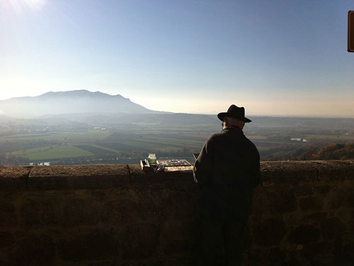
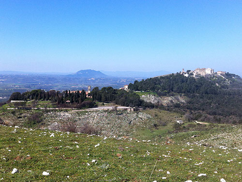
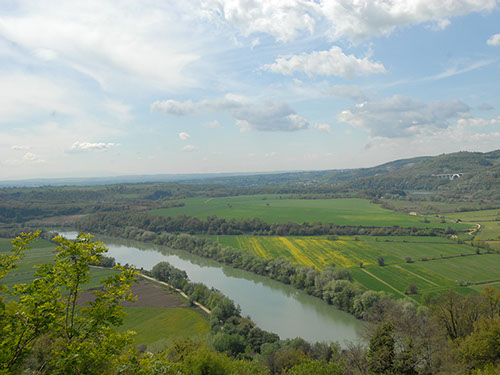
Soratte mountain seen from Stimigliano
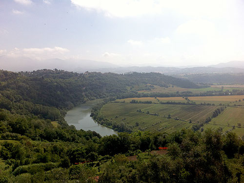
Tevere-Farfa Natural Reserve, from Nazzano
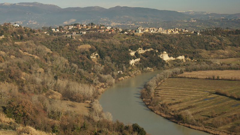
Meander of the Tiber near Ponzano Romano
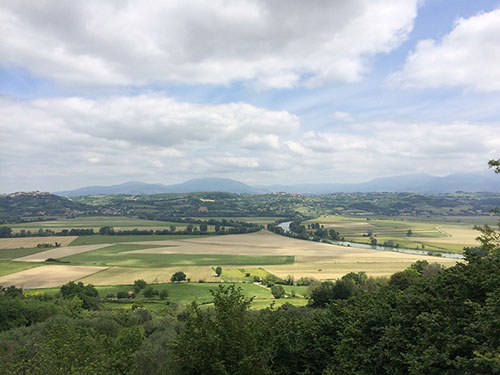
Fara in Sabina and Soratte mountain
The Tiber seen from Torrita Tiberina
1 - 5
<
>
LANDSCAPE&PLACES
3D MAKING OF
3D RECONSTRUCTION
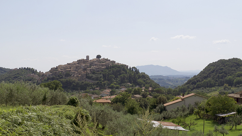
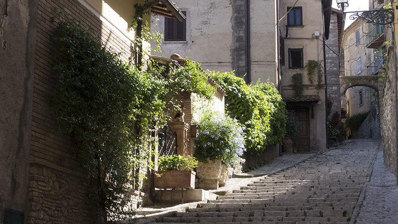
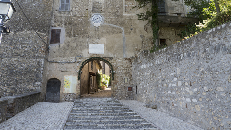
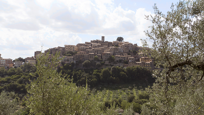
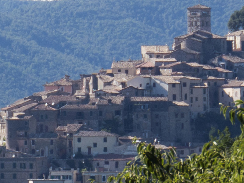
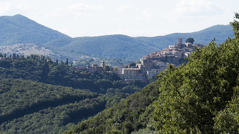
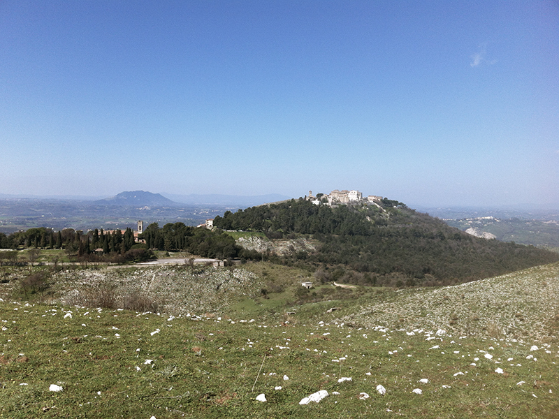
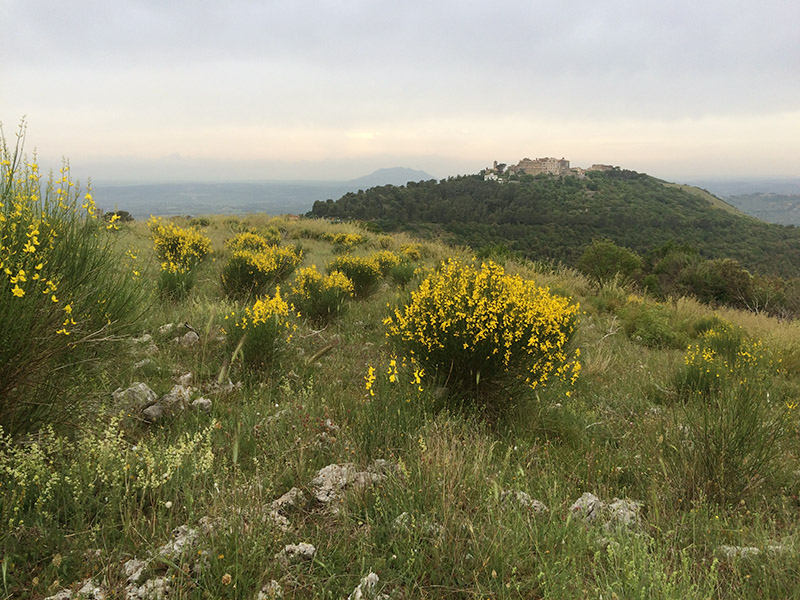
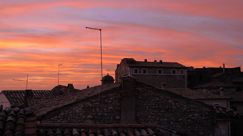
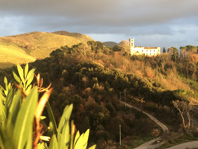
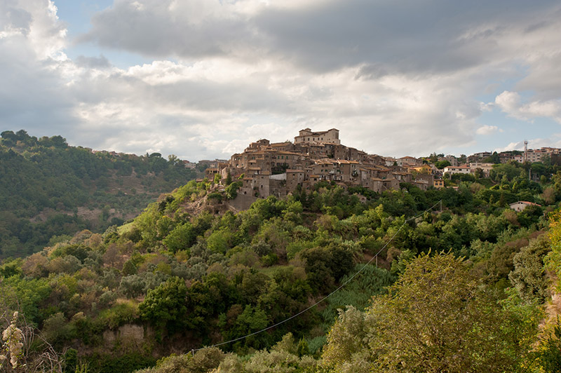
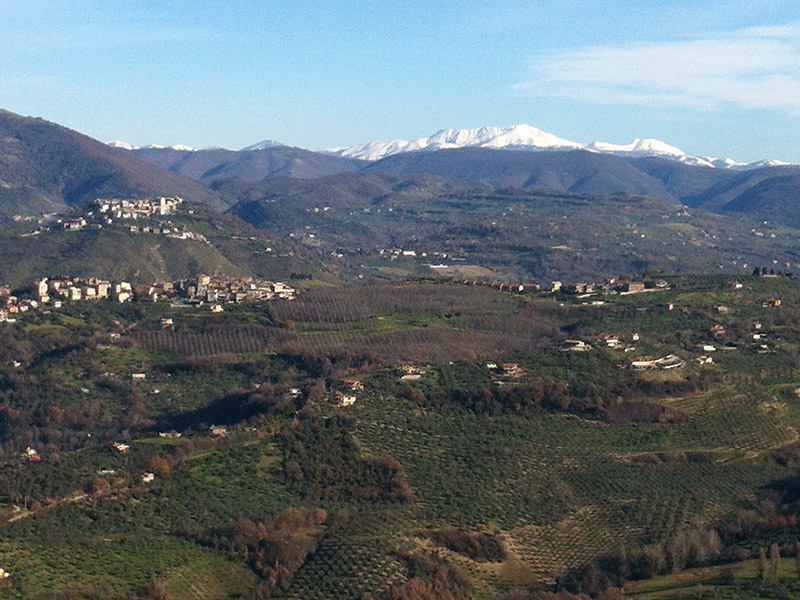
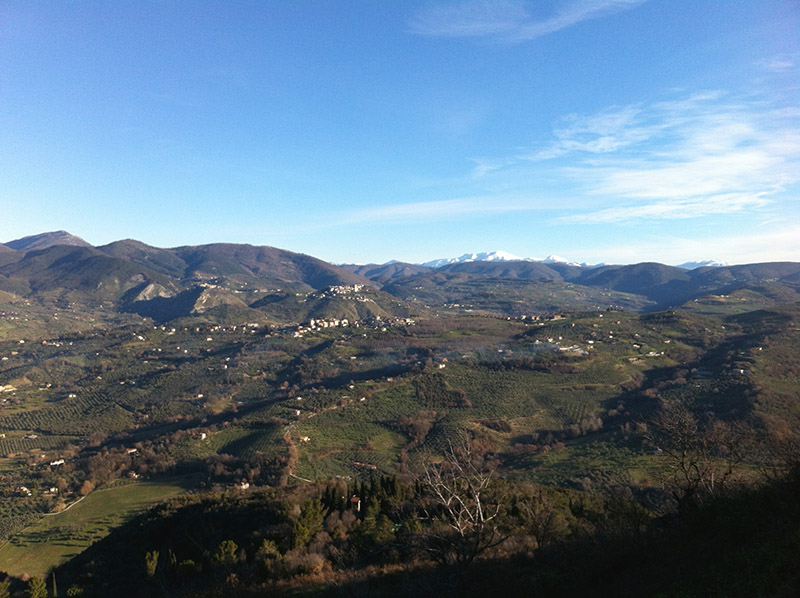
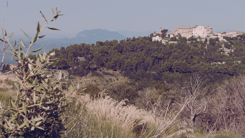
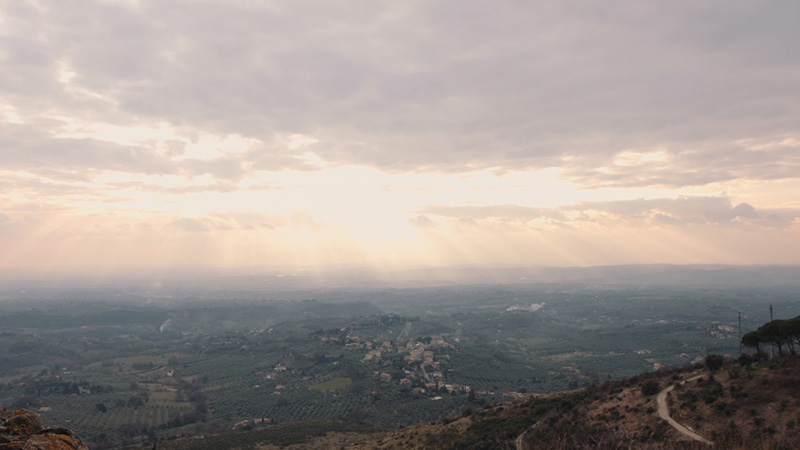
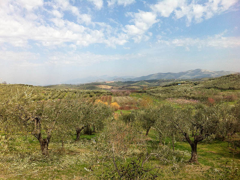
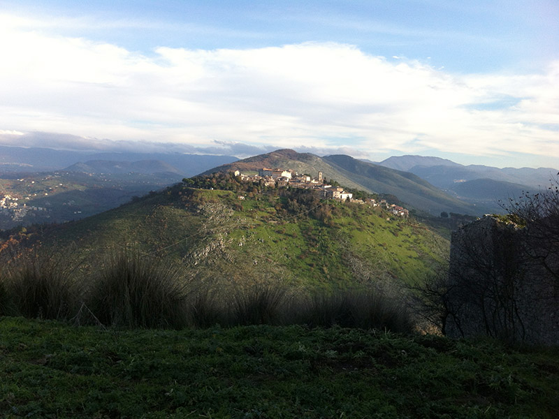
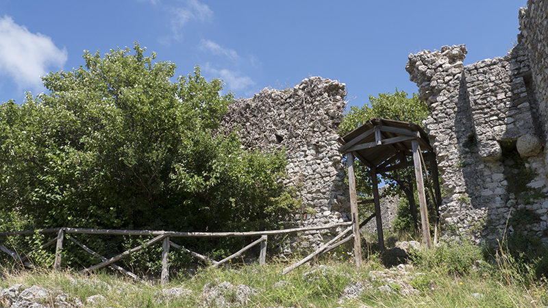
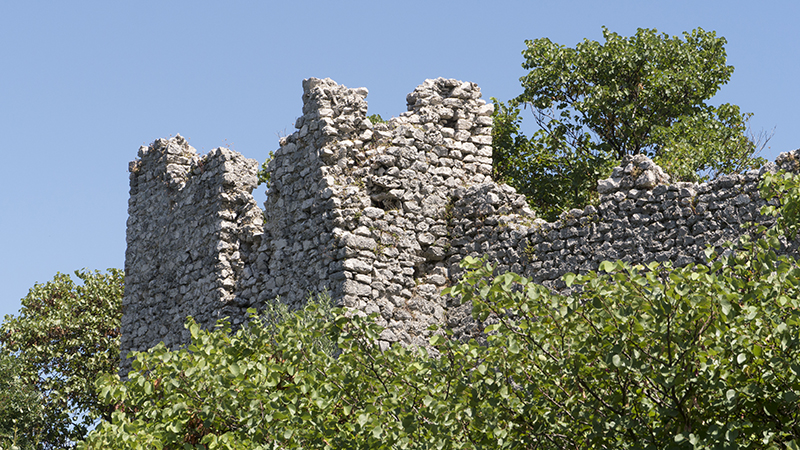
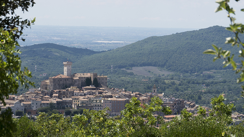
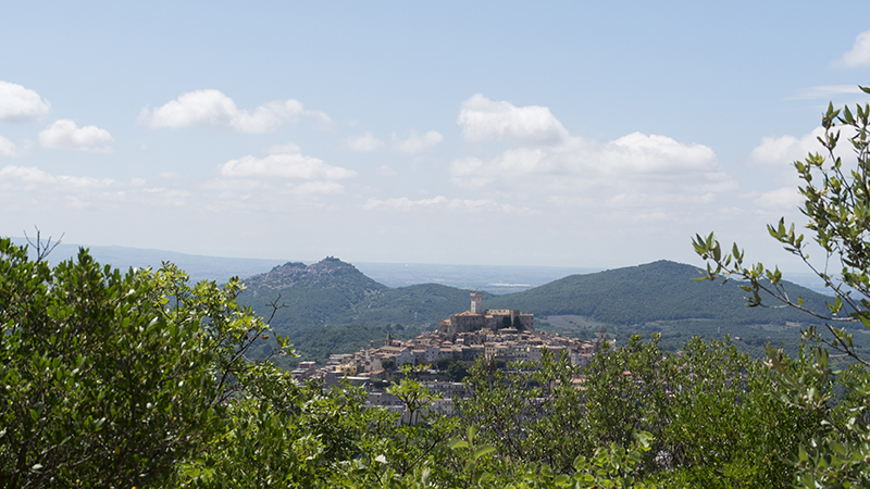
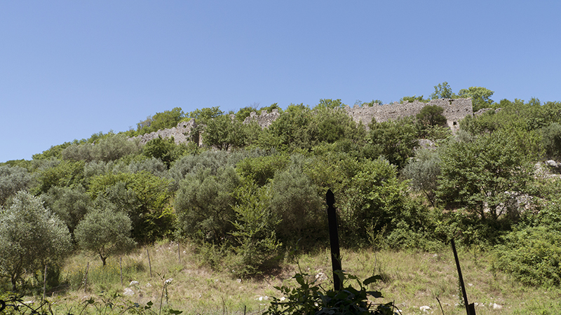
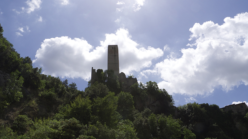
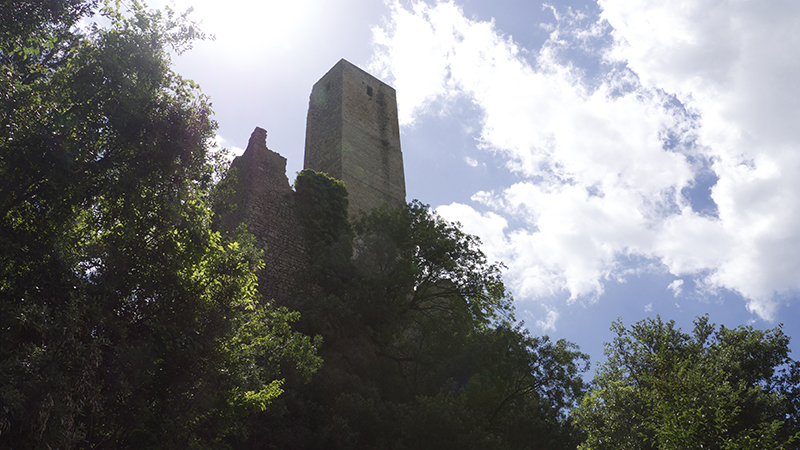
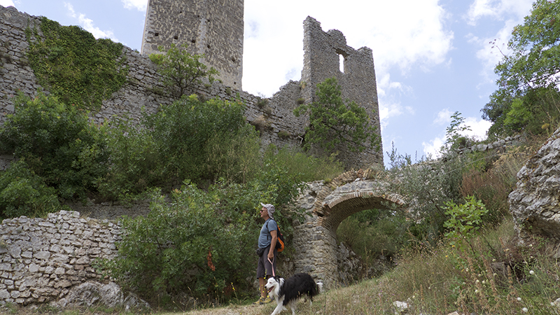
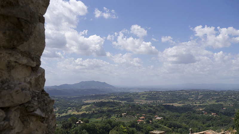
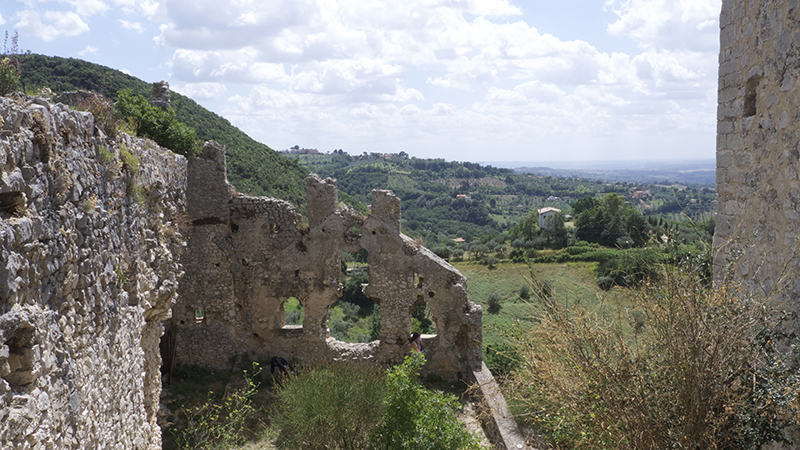
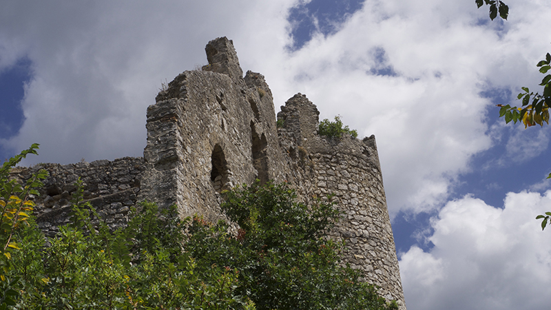
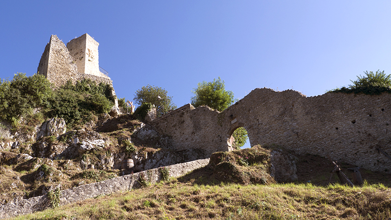
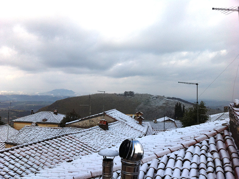
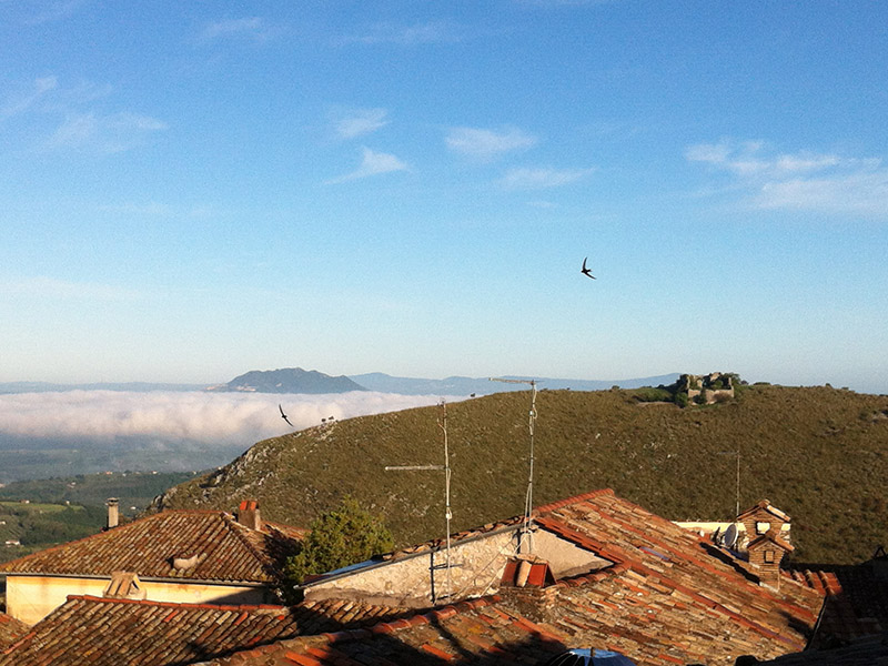
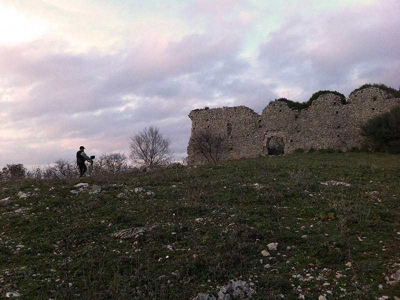
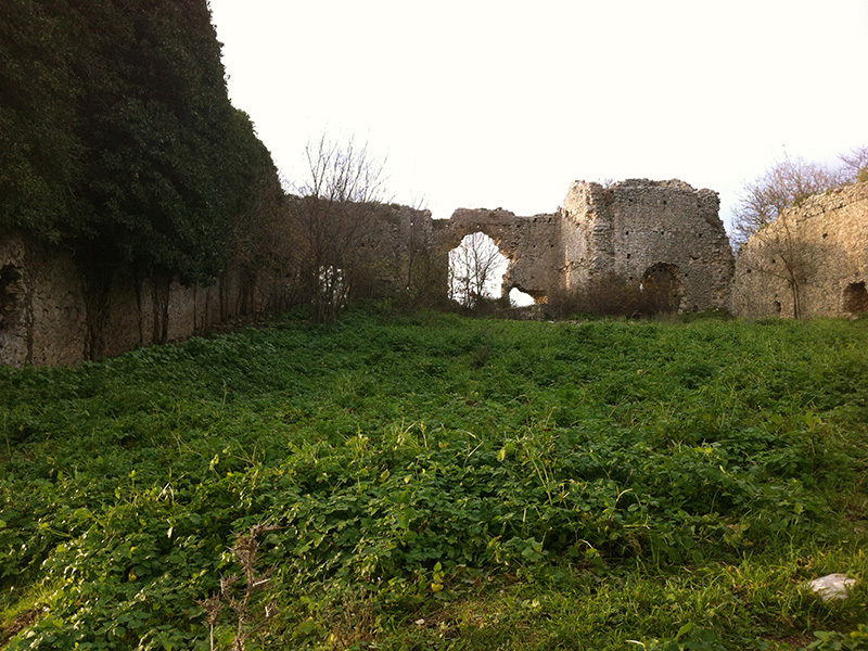
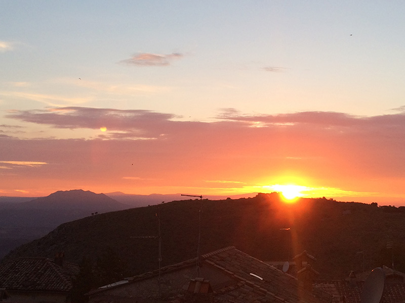
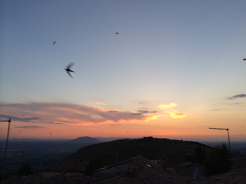
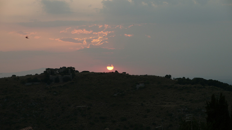
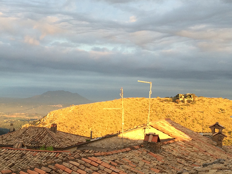
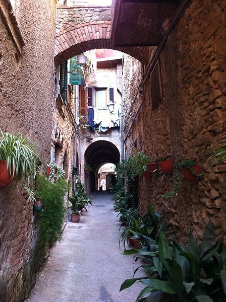
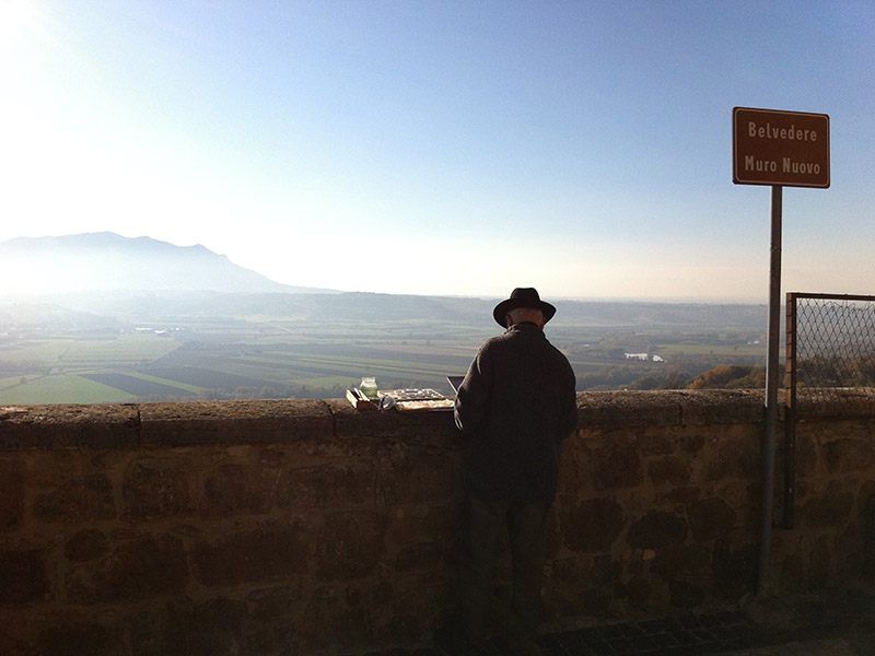
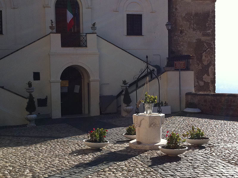
Casperia and Soratte mountain
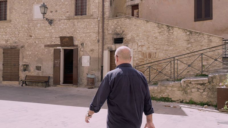
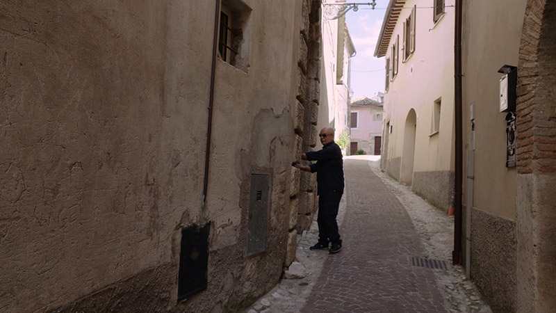
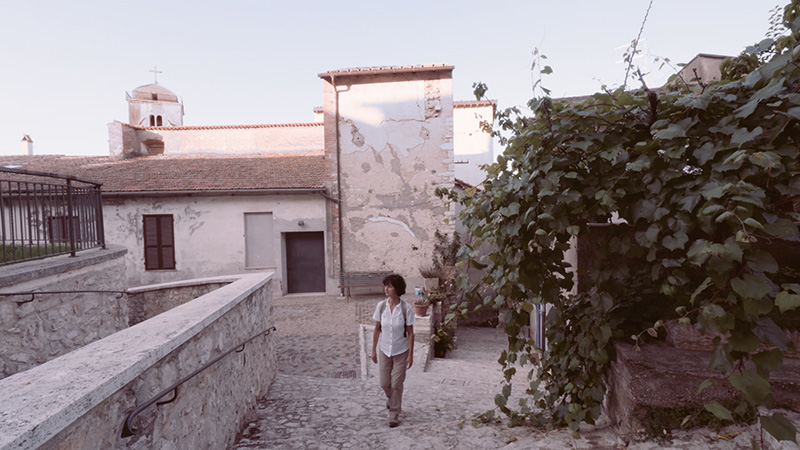
Casperia historical village
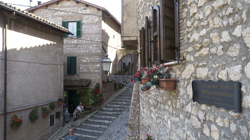
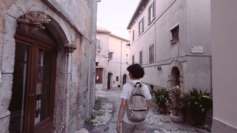
Casperia village
Gate to Casperia village
Casperia
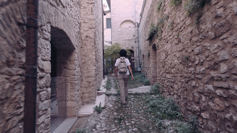
Casperia
Casperia
Fara in Sabina and, in background, Soratte mountain
Fara in Sabina
Roofs in Fara in Sabina
Fara in Sabina, square of the Cathedral
Rocci park in Fara in Sabina
Fara in Sabina historical village
Old Red Cross and Elci mountain ridge, from Fara in Sabina
Fara in Sabina historical village
Fara in Sabina
Fara in Sabina
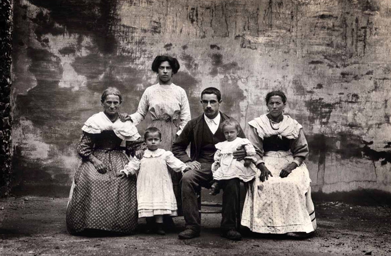
Filippo Rocci, Farmers family, 1911, Fara Sabina
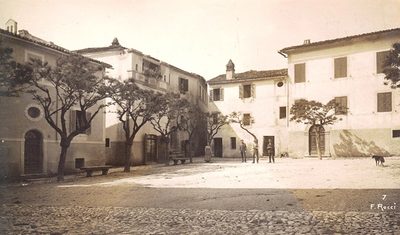
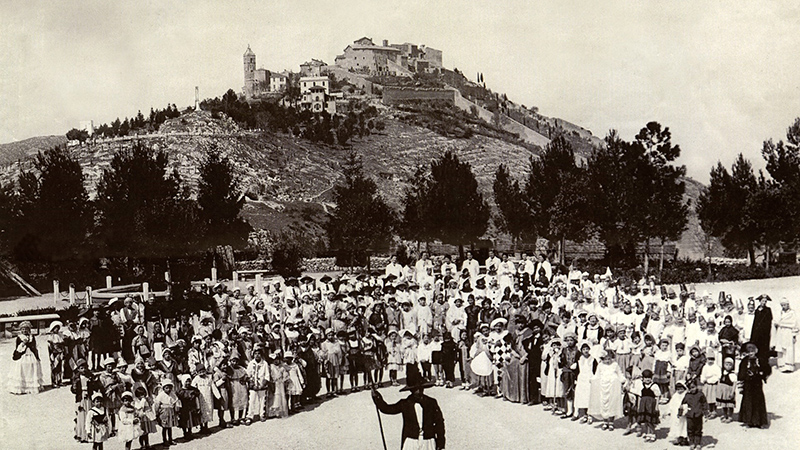
F. Rocci, Forcina square (now Garibaldi), Fara in Sabina, 1920 ca.
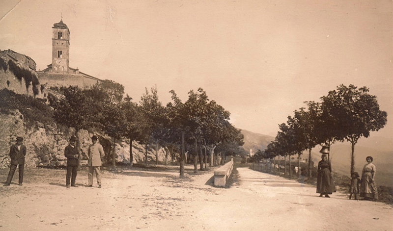
Filippo Rocci, Promenade in Fara in Sabina, 1920 ca.
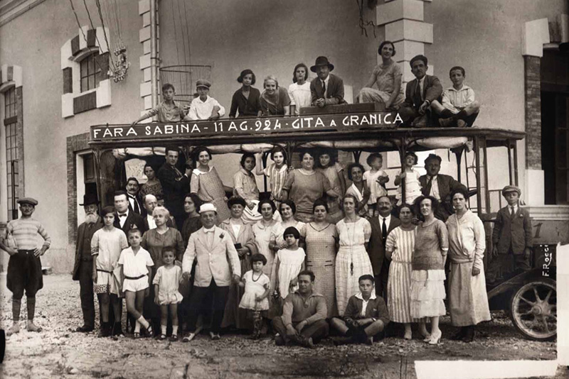
Filippo Rocci, Tour to Granica, 1924, Fara Sabina
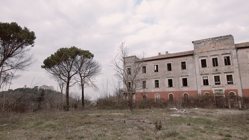
Old Red Cross and Villa Maraini seen from Fara in Sabina
Villa Maraini, old preventorium for patients infected
with tuberculosis, Fara in Sabina
Carnival 1937, preventorium, Fara in Sabina
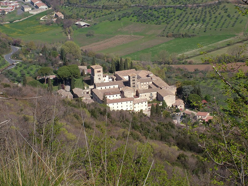
Farfa Abbey
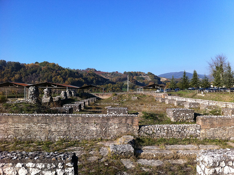
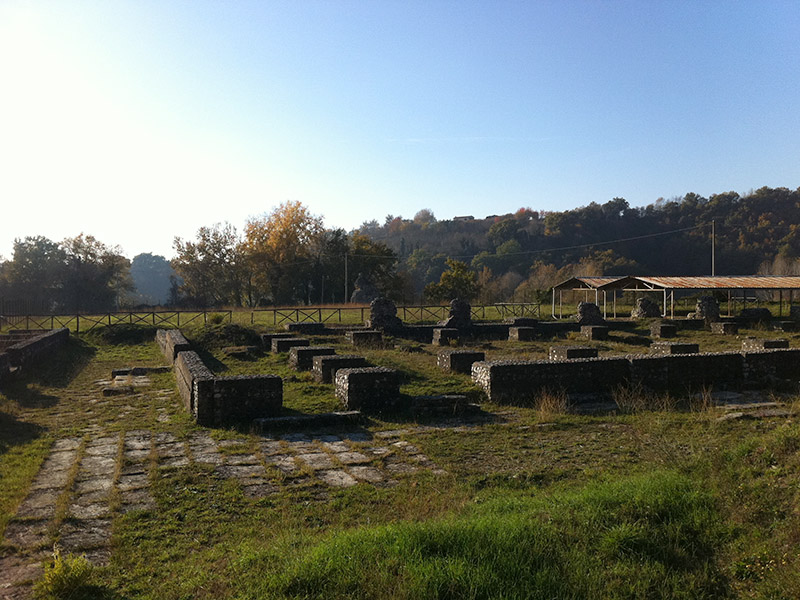
Remains of Forum Novum Roman Municipium, Torri in Sabina
Remains of Forum Novum Roman Municipium, Torri in Sabina
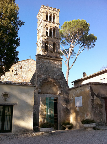
Santa Maria in Vescovio Romanesque church,
close to Forum Novum
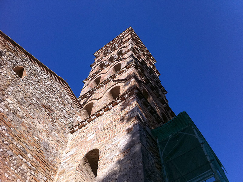
Santa Maria in Vescovio, bell tower of the X-XI century AD
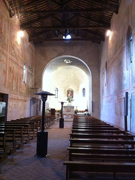
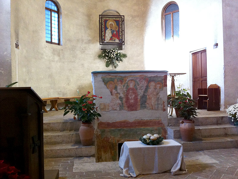
Santa Maria in Vescovio, interior with frescoes
of the XIII - XIV century
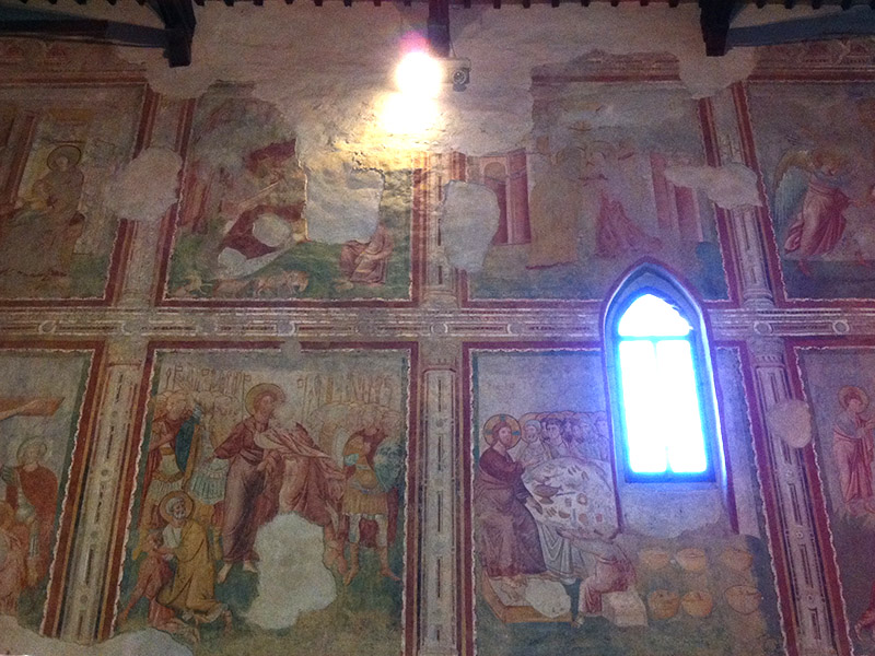
Santa Maria in Vescovio, interior with frescoes
of the XIII - XIV century
Santa Maria in Vescovio, interior with frescoes
of the XIII - XIV century
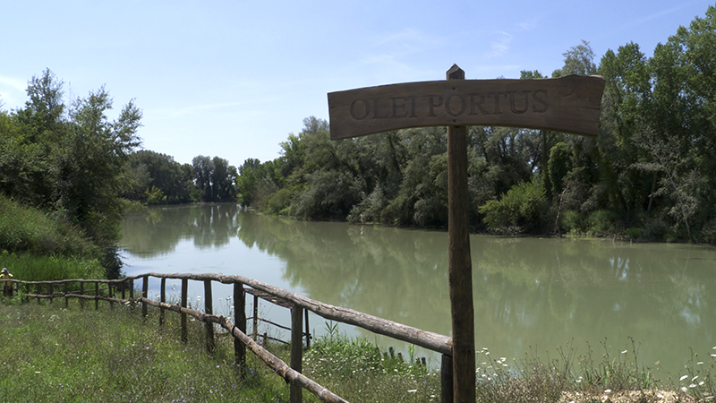
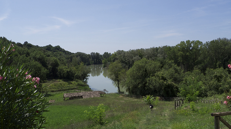
Ancient Roman Olei Portus on the Tiber, at Otricoli
Ancient Roman Olei Portus on the Tiber, at Otricoli
Castelnuovo di Farfa
Castelnuovo di Farfa, Mompeo
and Terminillo mountain, from Fara in Sabina
Castelnuovo di Farfa, Mompeo
and Terminillo mountain, from Fara in Sabina
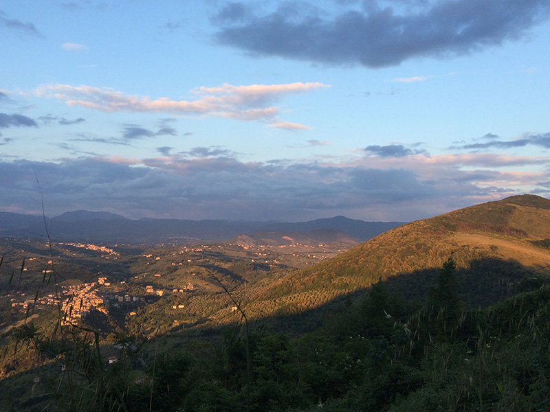
Elci mountain ridge, looking at the Tiber valley
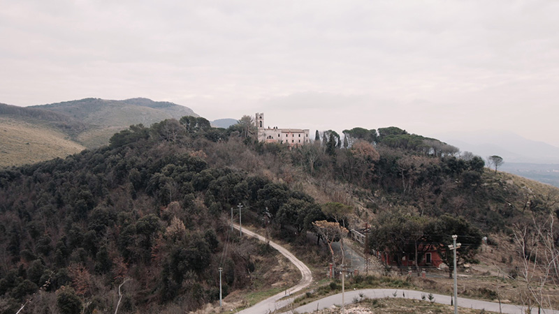
Fara in Sabina with the ancient castle,
today a Monastery of Clarisse Eremite
From the Elci mountain ridge, looking at the Tiber valley,
in direction of Rome
Olive tree groves in Sabina,
in the background Fara and the Elci mountain ridge
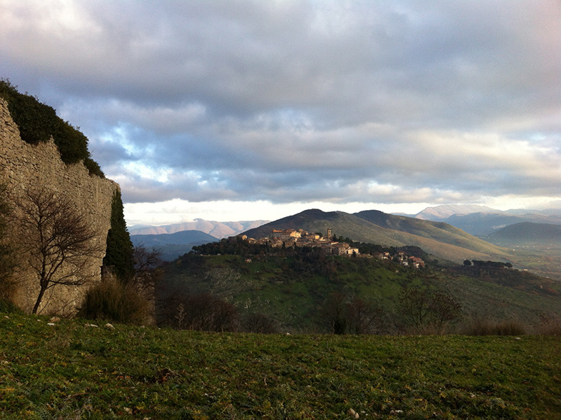
Fara in Sabina, seen from the Acuziano mountain
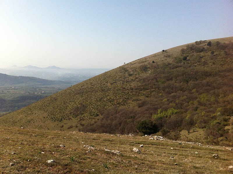
The Elci mountain ridge
Toffia and the Elci mountain (left), from Fara in Sabina
Ancient Palombara
Ancient Palombara
Ancient Palombara
Ancient Palombara
Palombara Sabina village
Palombara Sabina village
Ancient Palombara
Poggio Catino
Poggio Catino
Poggio Catino
Soratte mountain seen from Poggio Catino
Poggio Catino
Poggio Catino
Rocca Antica
Acuziano mountain and San Martino ruins, seen from Fara in Sabina
Acuziano mountain and San Martino ruins, from Fara in Sabina
in the backgrund Soratte mountain
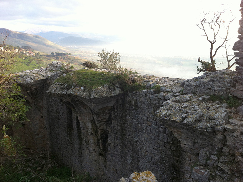
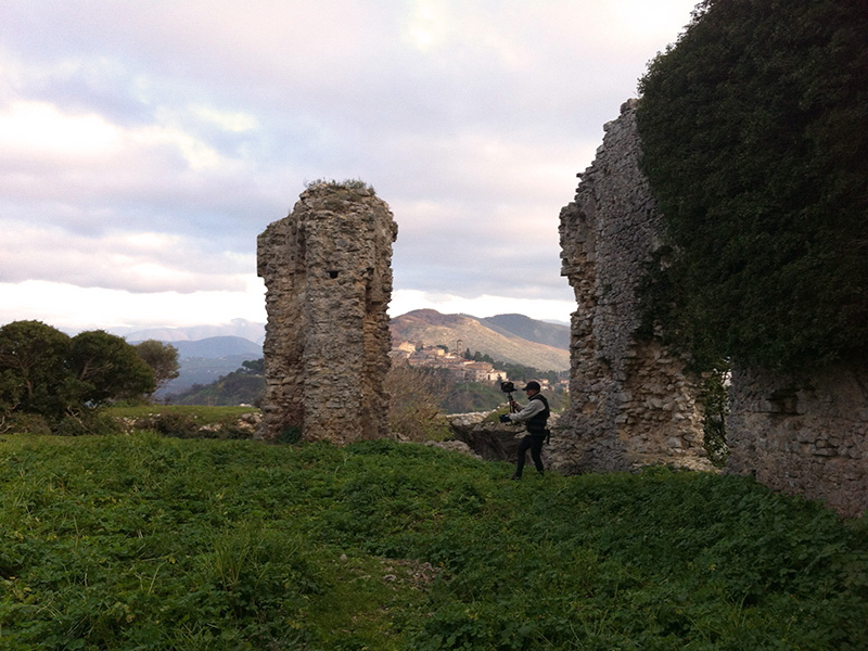
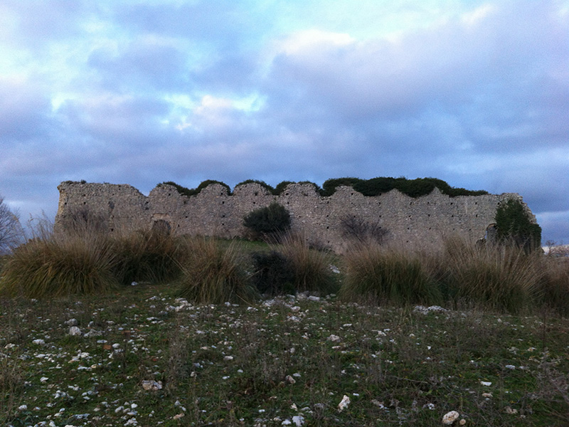
Ruins of the unfinished abbey of San Martino (XII century AD)
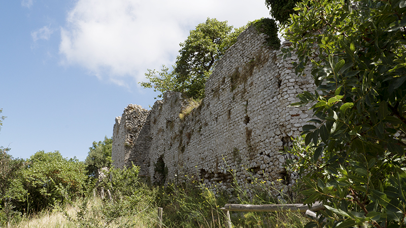
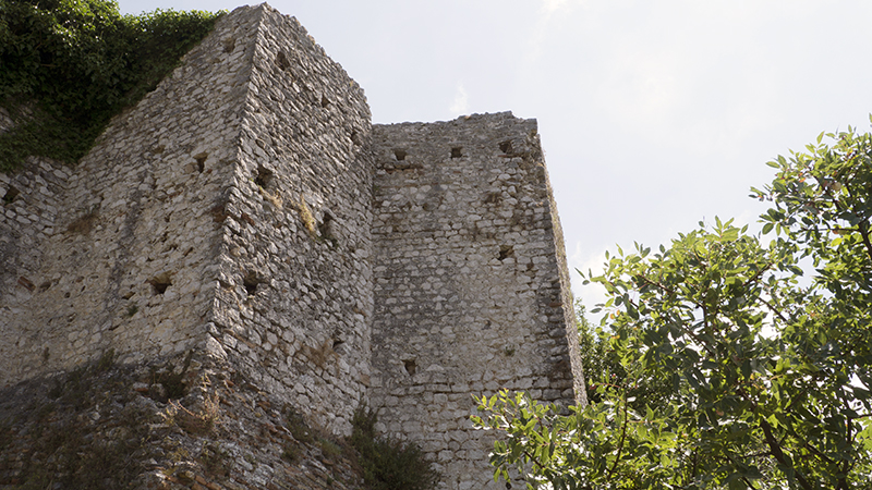
Ruins of the unfinished abbey of San Martino, Acuziano mountain
Ruins of the unfinished abbey of San Martino, Acuziano mountain
Ruins of the unfinished abbey of San Martino, Acuziano mountain
Fara in Sabina,seen from the Acuziano mountain
Ruins of the unfinished abbey of San Martino
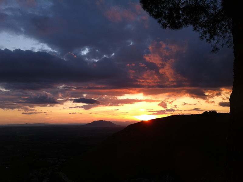
Sunset on the ruins of San Martino, from Fara in Sabina
Sunset on the unfinished abbey of San Martino
Sunset on the unfinished abbey of San Martino, from Fara
Ruins of the unfinished abbey of San Martino, from Fara
Sunset on the Soratte mountain, from Fara in Sabina
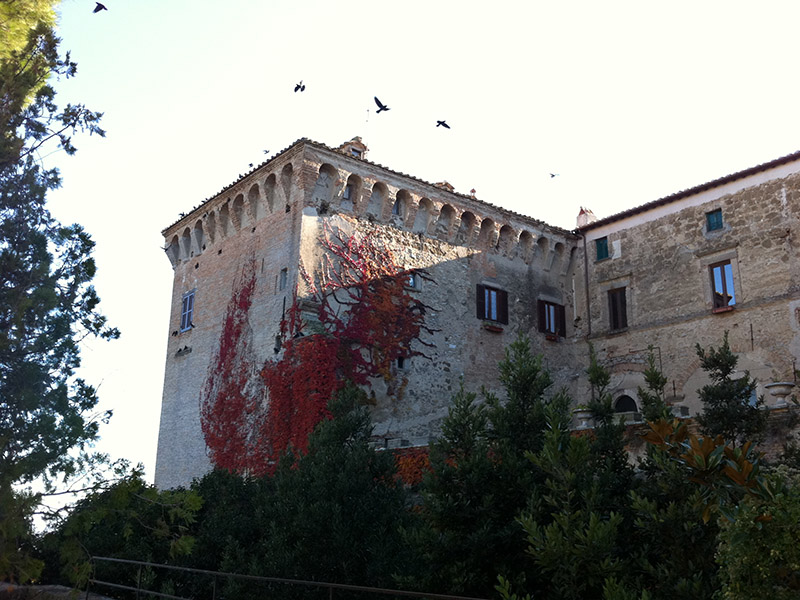
Stimigliano castle
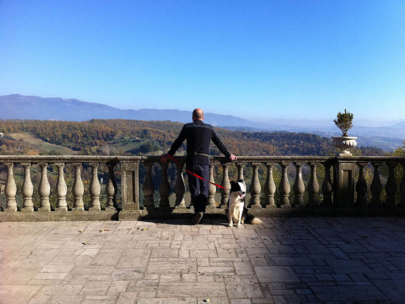
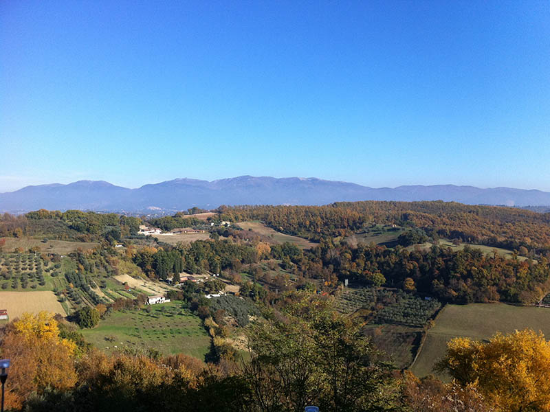
Landscape from Stimigliano
Landscape from Stimigliano
Stimigliano village
Tiber valley and Soratte mountain, from Stimigliano
Stimigliano City Hall
56 - 77
<
>
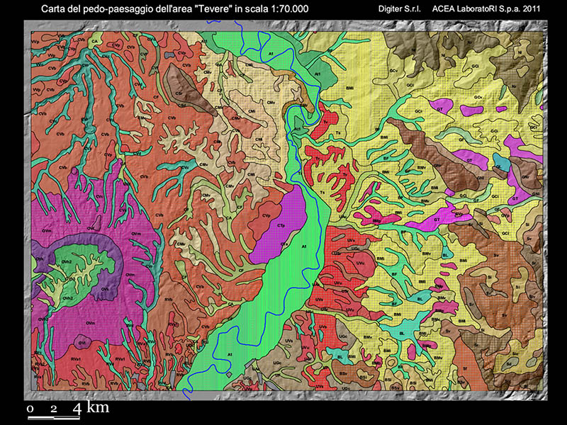
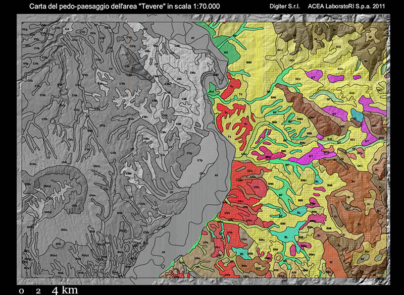
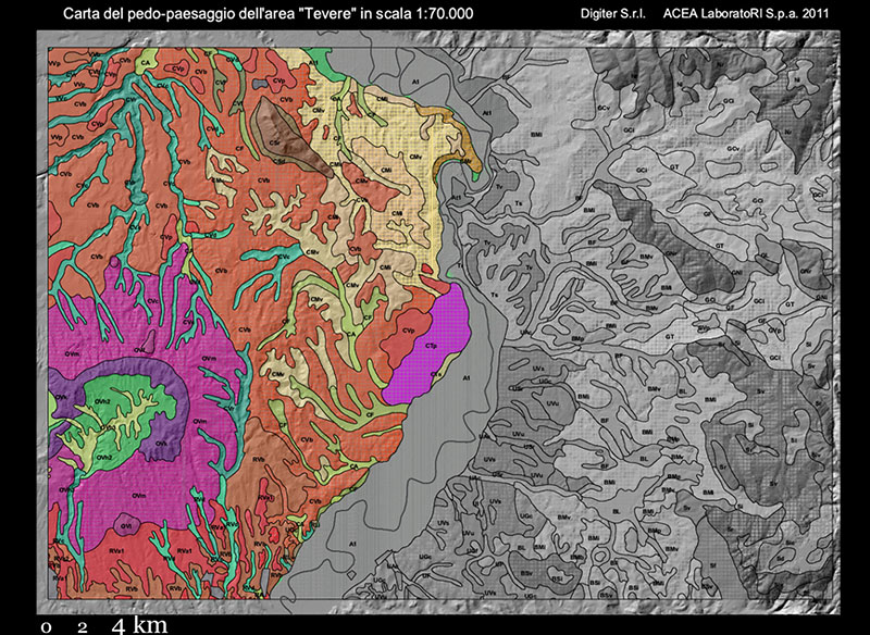
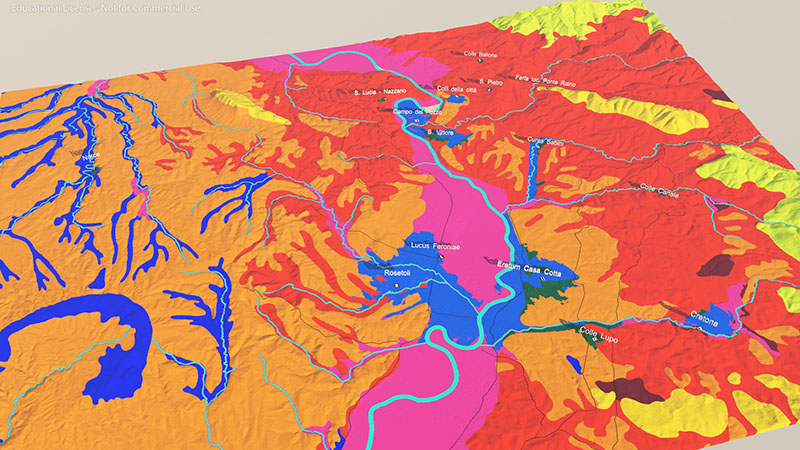
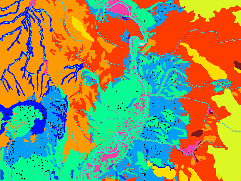
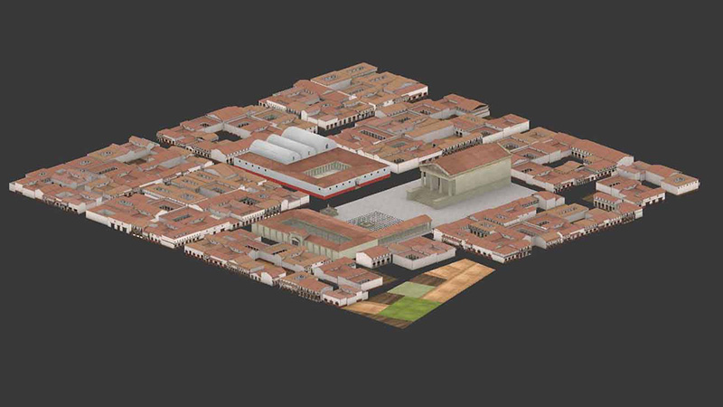
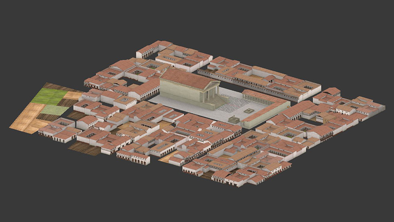
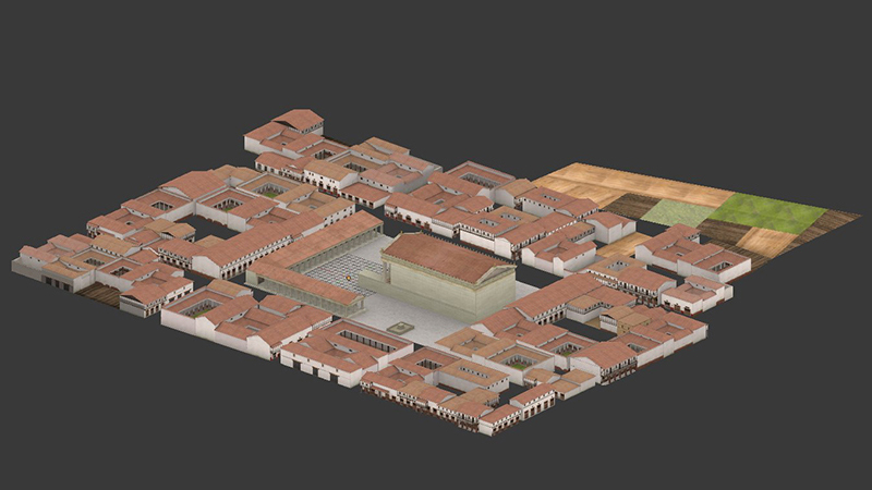
Pedo-landscape, in the area of interest
Pedo-landscape, on the right sandy soils
Pedo-landscape, on the left soils of volcanic origin
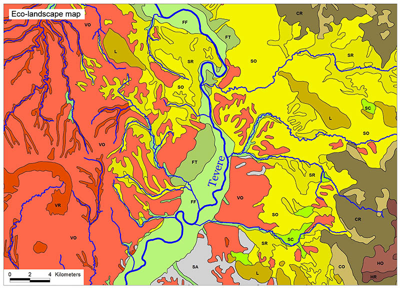
Eco-landscape map
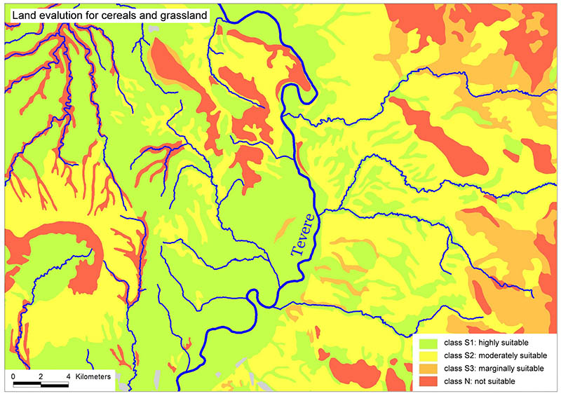
Land evaluation for cereals and grassland
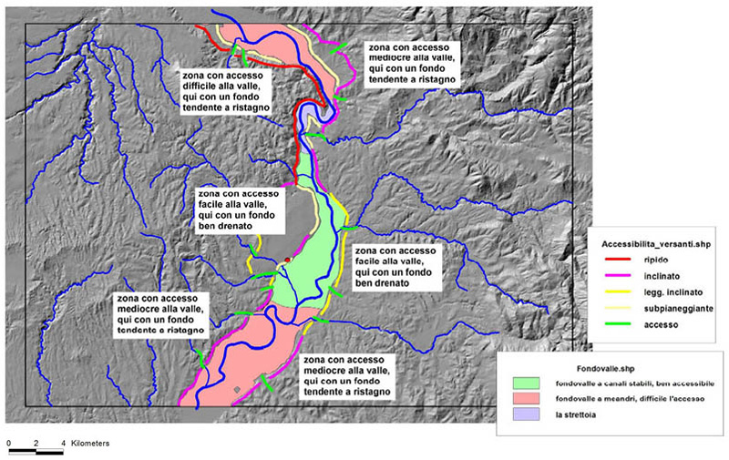
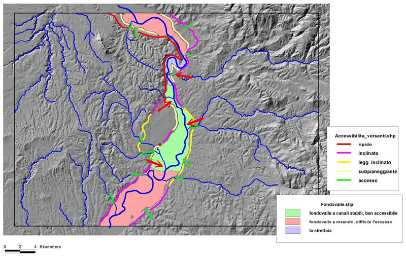
Accessibility of the Tiber along the valley
Accessibility of the Tiber along the valley
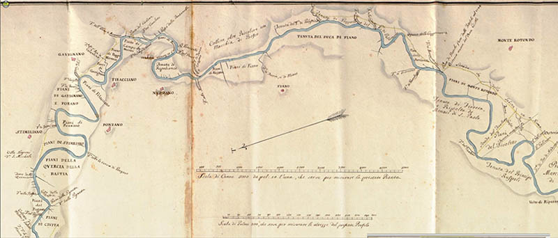
Map of the Tiber from the confluence of Nera to the mouth, 1744
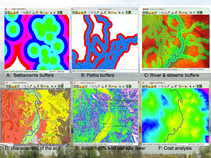
Buffer for the 3D reconstruction of the potential ancient landacape
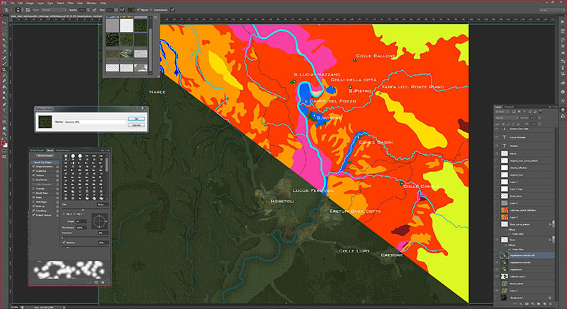
DEM textured with the colour map for the Orientalising period
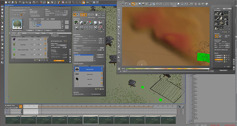
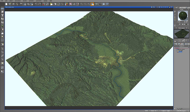
Landscape 3D reconstruction in e-on Vue (terrain generator)
Landscape 3D reconstruction in e-on Vue (terrain generator)
3D model of the terrain in the Orientalising period
Colour Map for the Roman period
3D reconstruction of a tipical Roman city
3D reconstruction of a tipical small Roman city
3D reconstruction of a tipical small Roman city
7 - 17
<
>
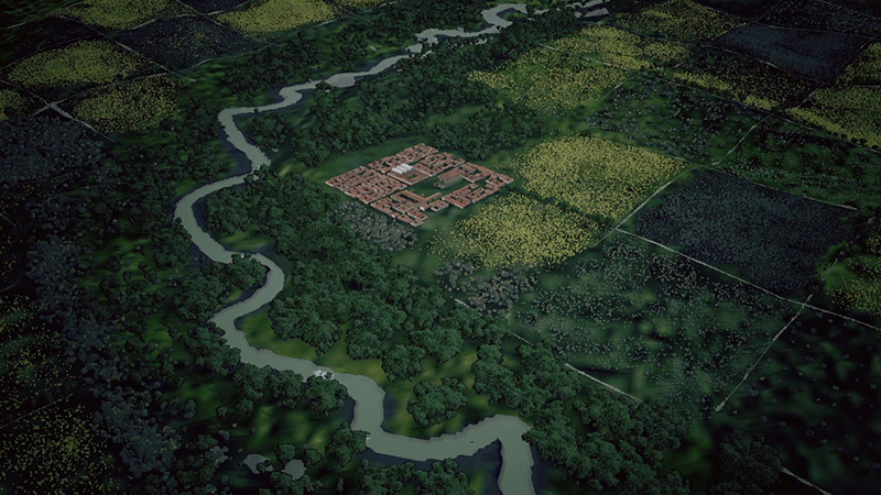
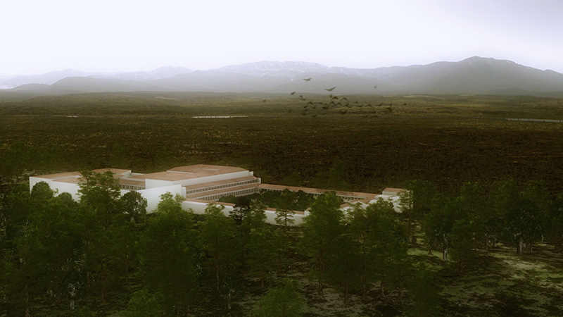
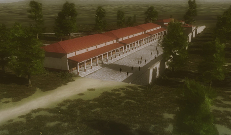
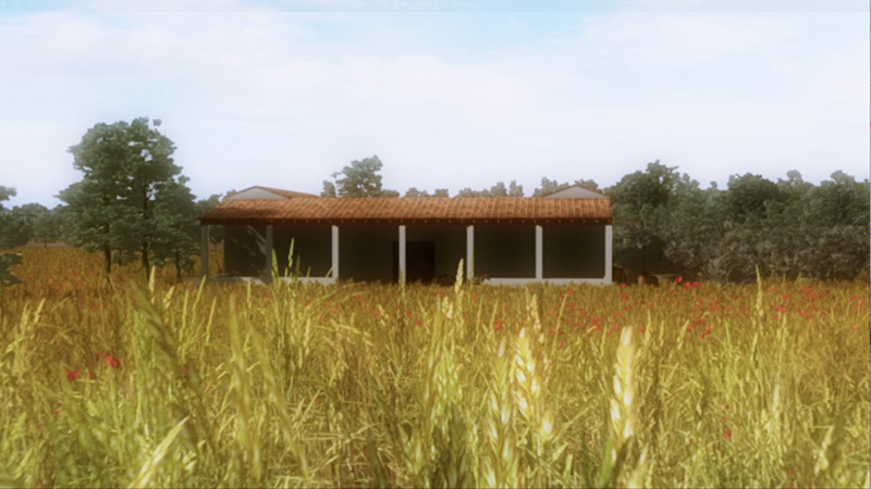
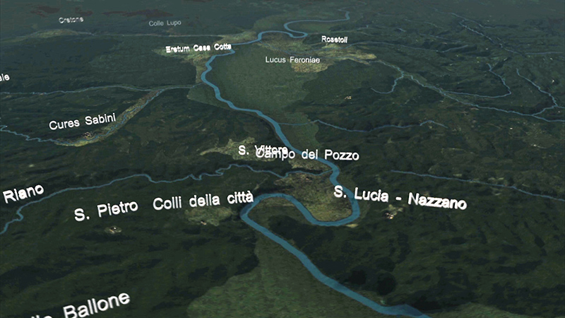
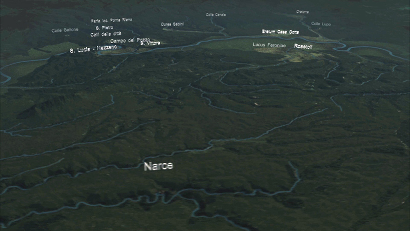
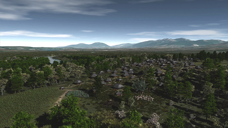
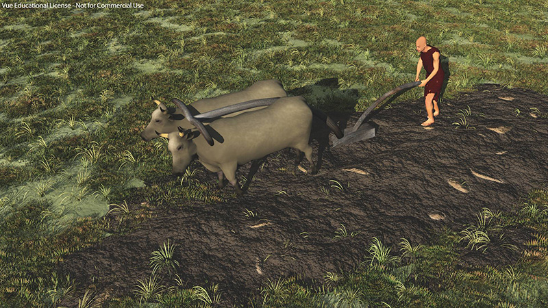
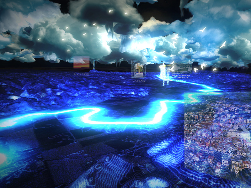
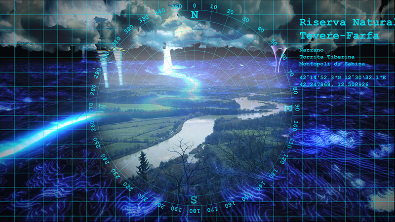
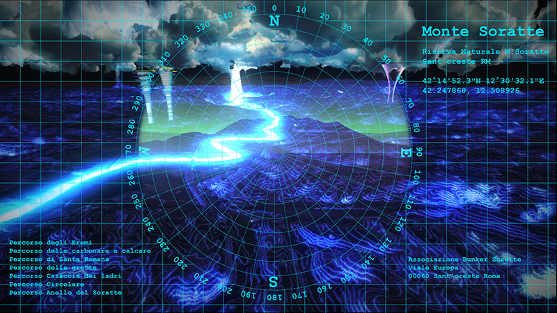
3D reconstruction of the potential landscape in Augustan age
Possible reconstruction of Volusii's Villa and landscape in Augustan age
3D reconstruction of Lucus Feroniae in Tiberian age
3D reconstruction of a typical Roman farm, Augistan age
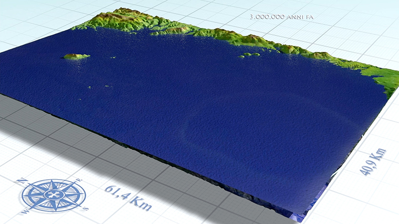
3D models of the main geological phases
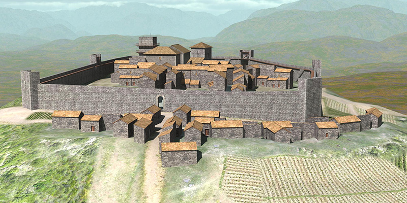
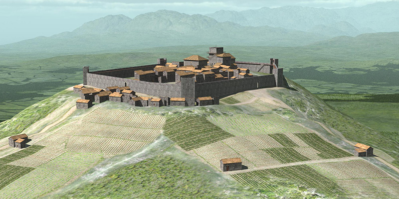
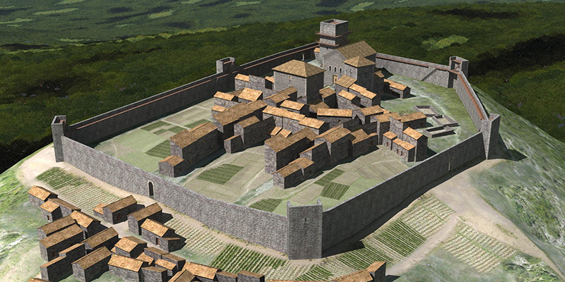
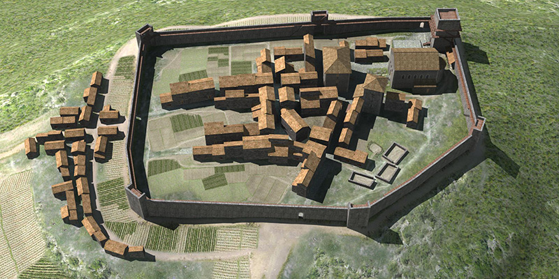
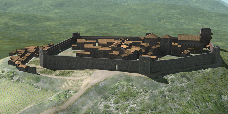
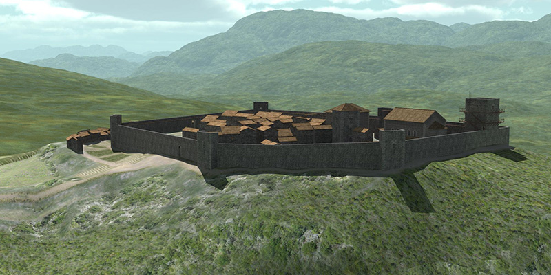
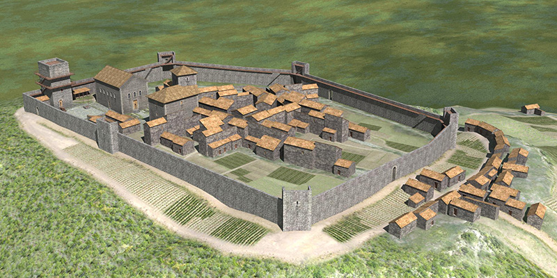
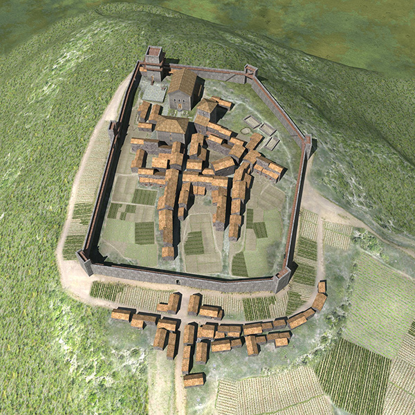
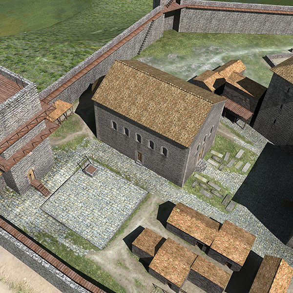
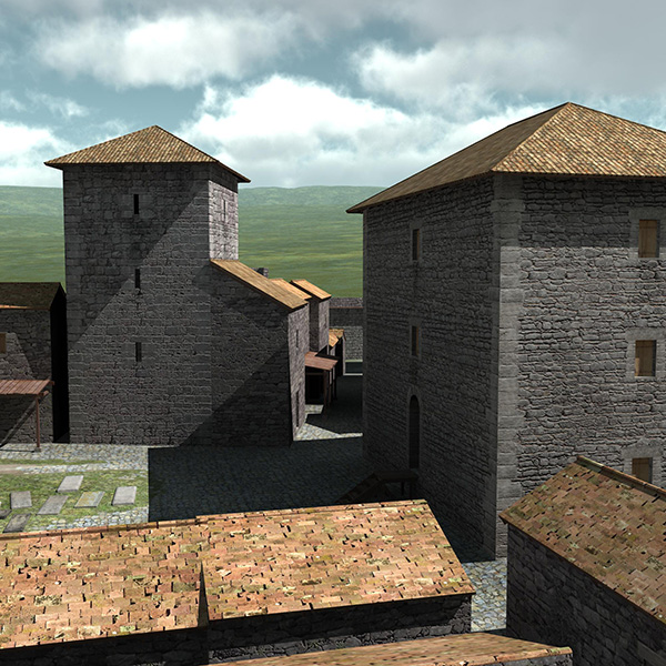
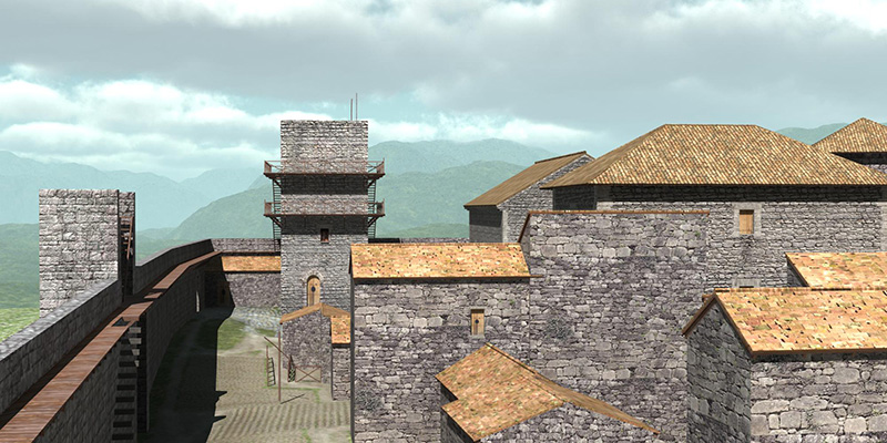
3D reconstruction of a typical Castrum of the XII century AD
3D reconstruction of a typical Castrum of the XII century AD
3D reconstruction of a typical Castrum of the XII century AD
3D reconstruction of a typical Castrum of the XII century AD
3D reconstruction of a typical Castrum of the XII century AD
3D reconstruction of a typical Castrum of the XII century AD
3D reconstruction of a typical Castrum of the XII century AD
3D reconstruction of a typical Castrum of the XII century AD
3D reconstruction of a typical Castrum of the XII century AD
3D reconstruction of a typical Castrum of the XII century AD
3D reconstruction of a typical Castrum of the XII century AD
3D reconstruction of the potential landscape, Orientalising period
3D reconstruction of the potential landscape, Orientalising period
3D reconstruction of the potential landscape, Iron-Orientalising period
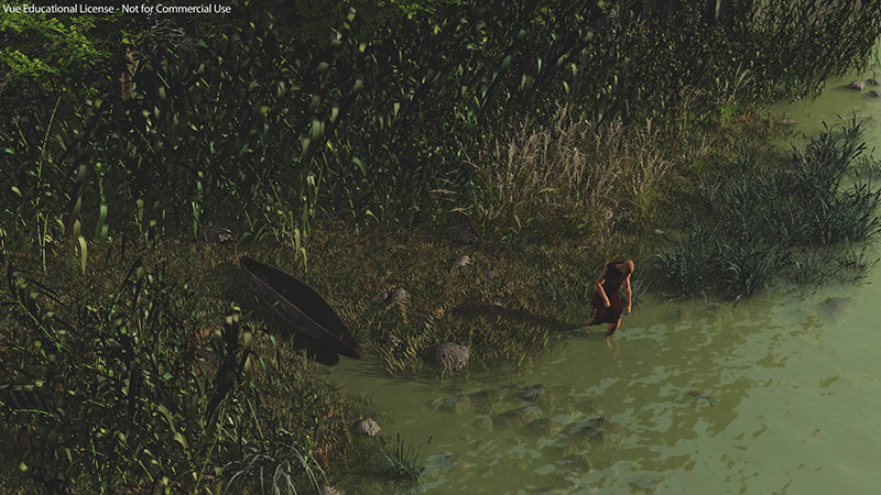
3D reconstruction of human activity in the Orientalising period
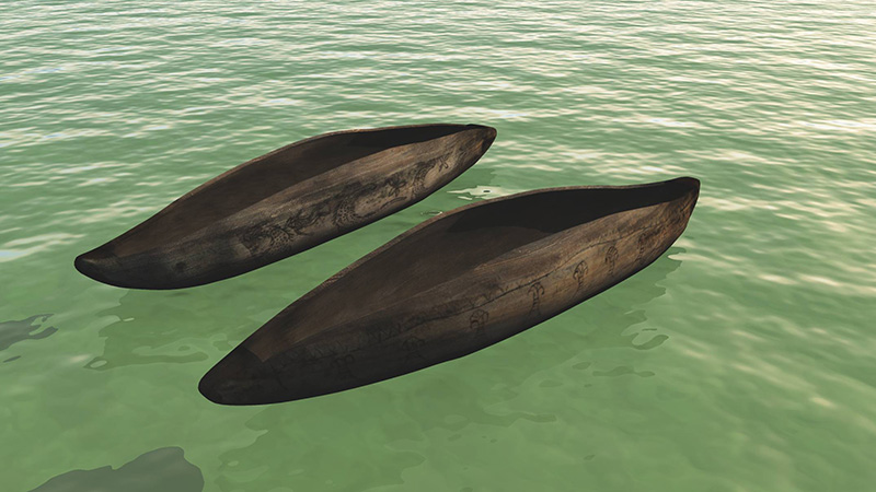
3D reconstruction of a typical boat in the Orientalising period
3D reconstruction of a typical boat in the Iron-Orientalising period
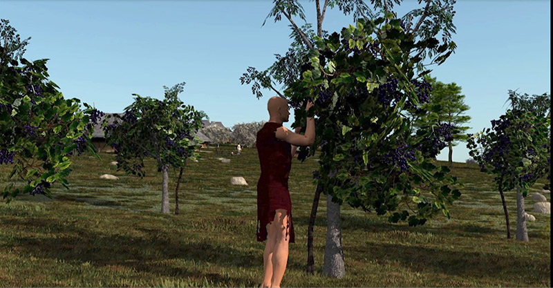
Typical rearing of grapevine in the Orientalising period
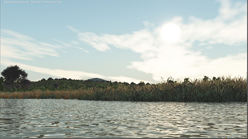
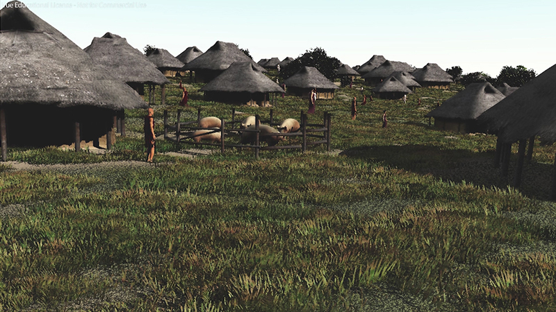
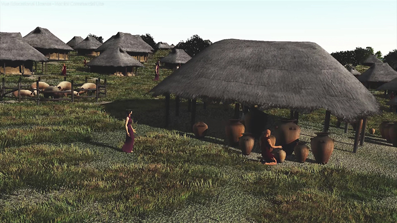
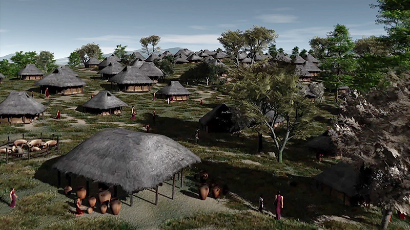
3D reconstruction of a typical huts village (Eretum), along the Tiber,
in the Iron - Orientalising period
3D reconstruction of a typical village, in the Iron-Orientalising period
3D reconstruction of a typical village, in the Iron-Orientalising period
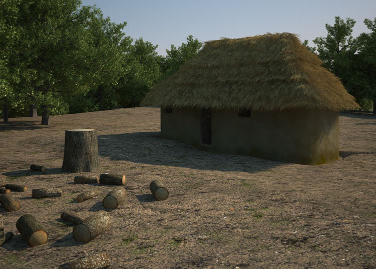
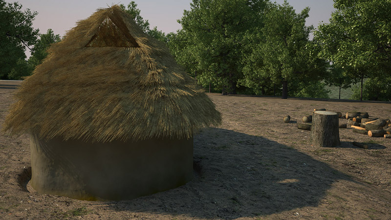
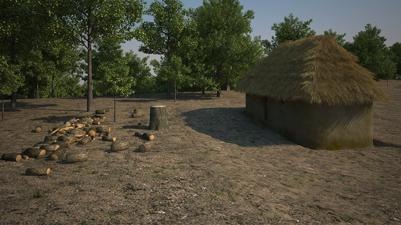
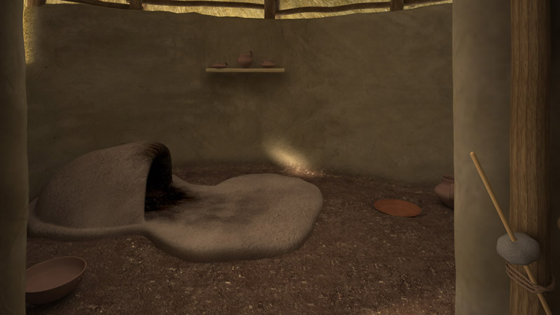
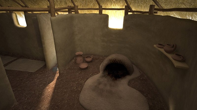
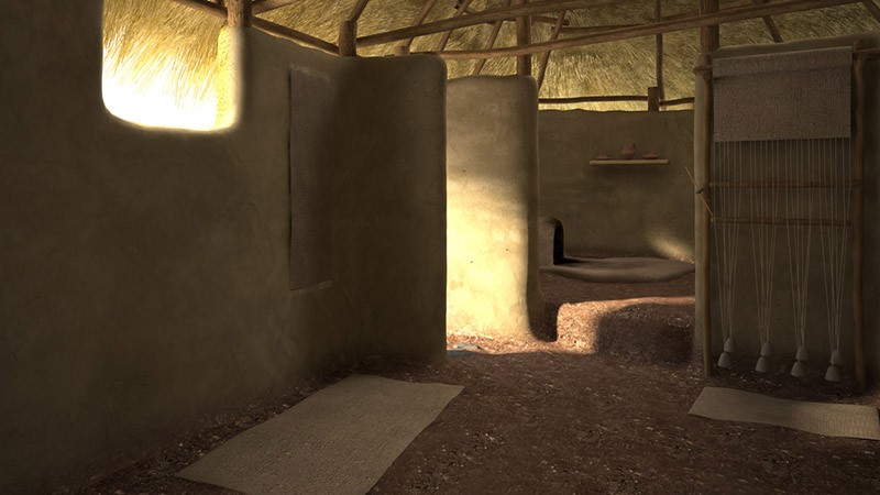
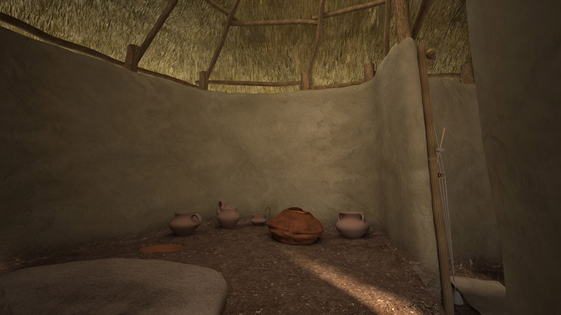
3D reconstruction of a typical hut in the Iron period (hut of Cures)
A typical hut in the Iron period (hut of Cures)
(courtesy of STEP srl, Archaeological Mseum of Fara Sabina, CNR ISMA)
3D reconstruction of a typical hut in the Iron period (hut of Cures)
3D reconstruction of a typical hut in the Iron period (hut of Cures)
3D reconstruction of a typical hut in the Iron period (hut of Cures)
3D reconstruction of a typical hut in the Iron period (hut of Cures)
3D reconstruction of a typical hut in the Iron period (hut of Cures)
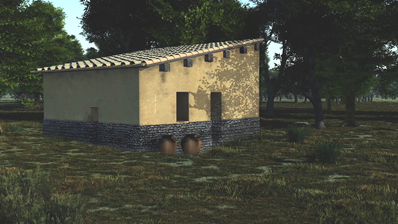
3D reconstruction of a typical built house in the Orientalising period
3D reconstruction of a typical village in the Iron period
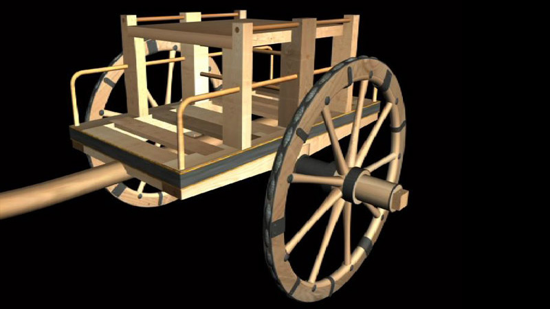
3D reconstruction of a typical charriot in the Orientalising period
3D reconstruction of the Tiber valley "mindscape" today
3D reconstruction of the Tiber valley "mindscape" (videogame style)
3D reconstruction of the Tiber valley (compass and gun sight)
19 - 39
<
>
LUCUS FERONIAE
Here, once upon a time, everyone worshipped her. There was a sanctuary, and a sacred grove dedicated to her.
Later on the Romans of Augustus founded a new town.
Via Tiberina km 18,500 Capena
LUCUS FERONIAE
The site is located on the right bank of the Tiber, on a travertine platform at the 18th km of the Via Tiberina.
In the archaic age Lucus Feroniae was a very important marker in the territory for a famous sanctuary dedicated to the Italic Goddess Feronia, protecting harvest, fertility, health and freed slaves. At that time different populations, coming from a wide area all around, Falisci, Capenati, Etruschi, Sabini, Latini, converged to give honour to this Goddess, in her ‘lucus’ (originally a sacred wood, then evolving into a sanctuary), and occasionally a site for fairs, as this place was a very important emporium as well.
The ancient Roman authors refer to the life of this well-known and rich sanctuary before the Roman occupation and Hannibal’s sack in 211 BC.
In the late Republican Roman age it lost its previous status, turning into a simple farming town. It was transformed into a colony in Augustan times and a new monumental urban development took place there, under the patronage, of the Volusii Saturni family. One century later it was restored by Trajan and few new structures were built, among which the Thermal Baths in the Forum, in a place previously occupied by a third insula of shops.
In the third century AD depopulation began, until the final abandonment, in the sixth century. The city was used as a quarry for material to build the new town nearby castle of Scorano.
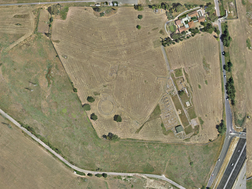
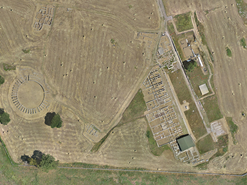
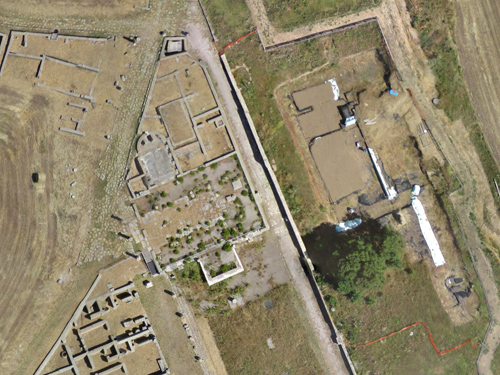
Lucus Feroniae, near Capena-Scorano
The archaeological site
Roman Basilica (left) and area of Feronia's sanctuary (right)
1 - 3
<
>
SITE
SURVEY
3D MAKING OF
3D RECONSTRUCTION
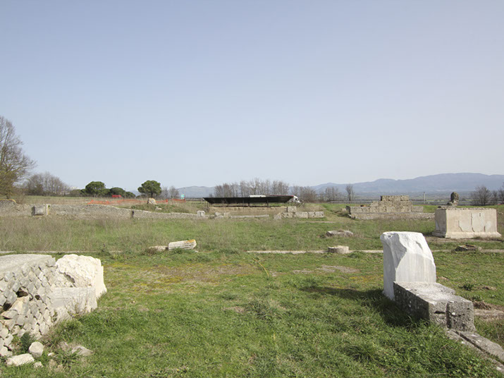
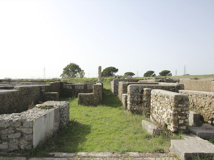
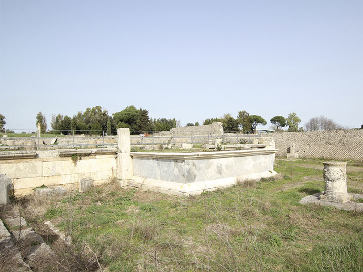
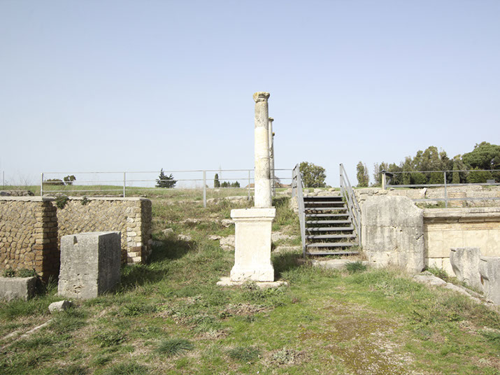
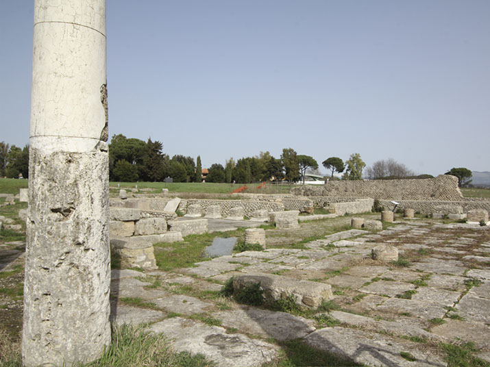
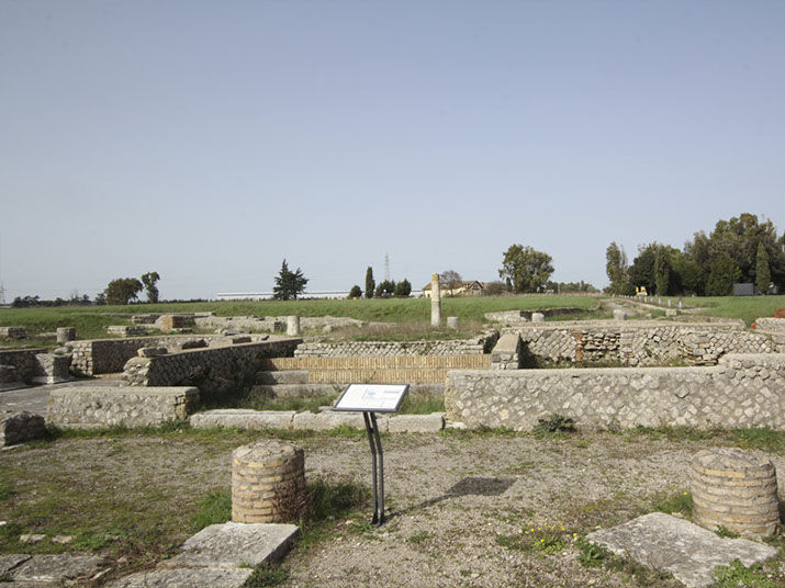
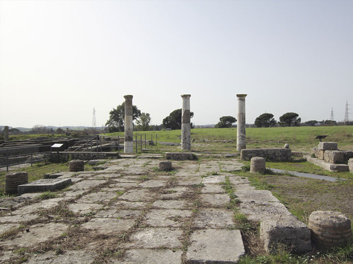
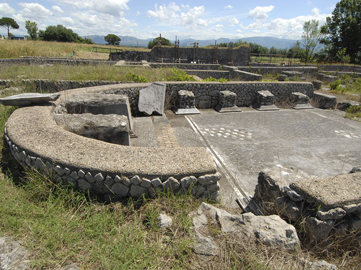
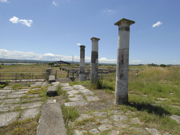
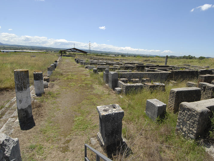
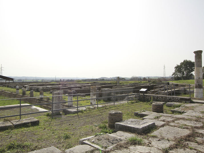
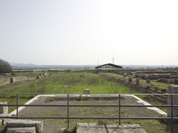
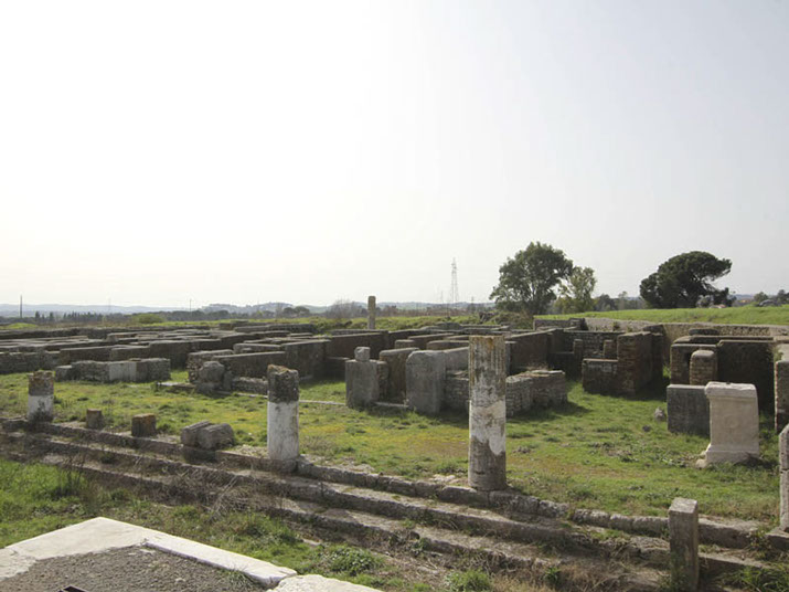
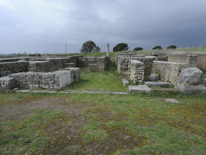
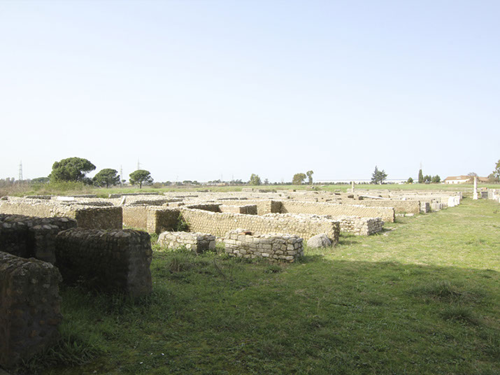
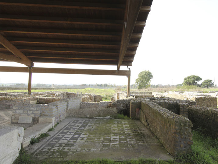
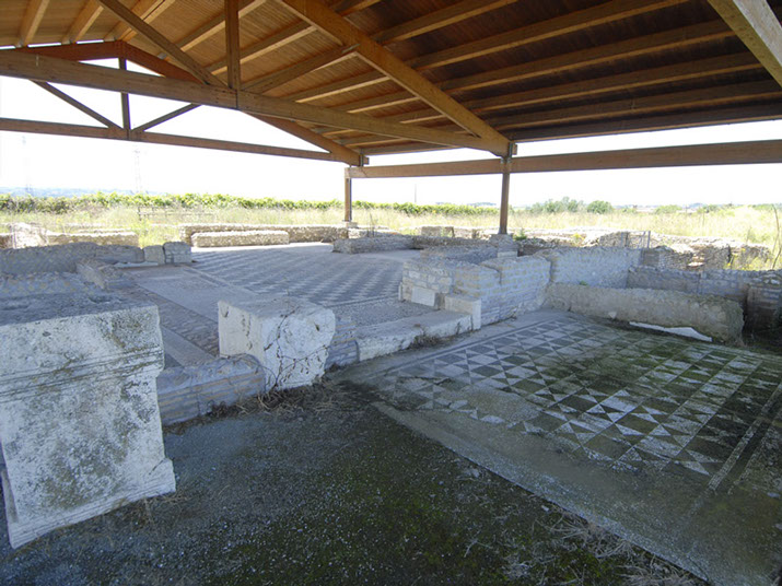
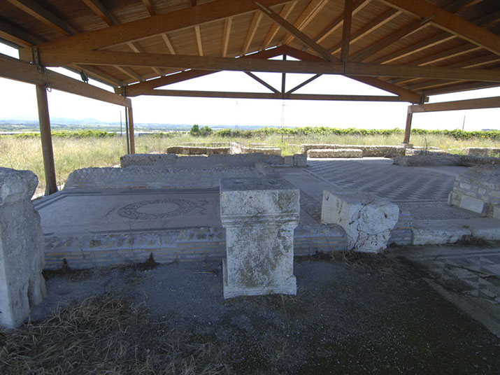
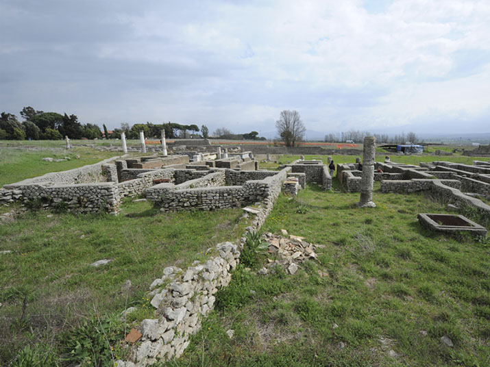
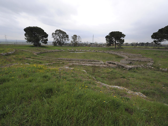
Access to the Forum (150x40mt), from a side street
coming from the Amphitheatre
Workshop, on the ground the groove for the roller shutter closure
Podium of the Basilica, on the right the altar for civic worship
to Feronia
Steps from the Forum leading to the entrance of the Basilica
Entrance of the Basilica
The temple to the goddess Salus Frugifera overlooked the Basilica
Basilica
Augusteum in the Basilica, for the cult of the imperial family
Access road from the Basilica to the Forum
Two blocks of houses with shop, back room and patio
on the ground floor. The house is at the first floor
Basilica, in the background the workshops of the Forum
Podium of the Basilica, looking at the Forum
Workshops on the western side of the Forum;
the steps needed also as seats during public ceremonies
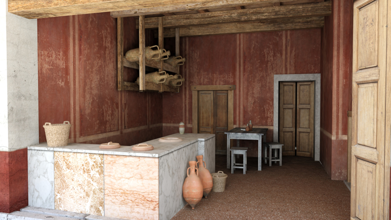
The original marble counters of the workshops, and the dolii
containing beverages and wine, are still well preserved
Workshops (tabernae), Sud-West in the Forum
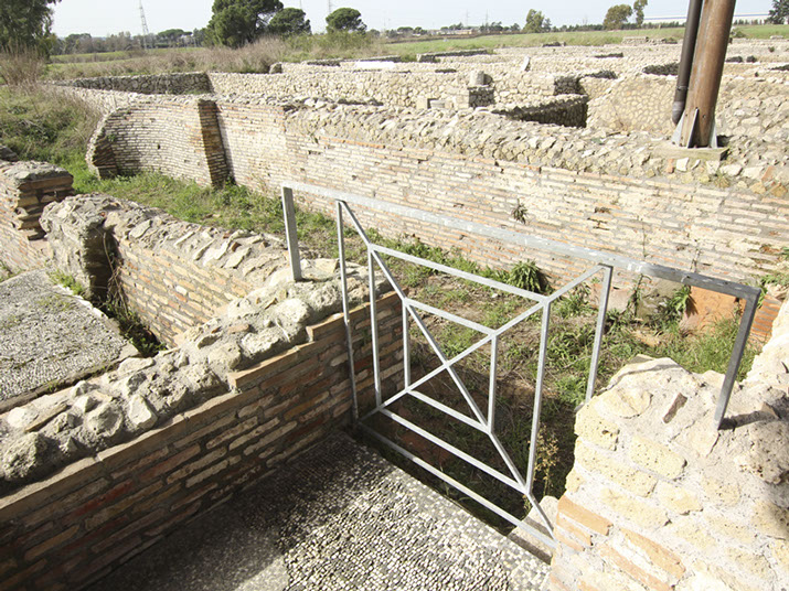
Entrance of the thermal baths in the Forum, Trajan age
Thermal baths in the Forum, Trajan age
Thermal baths in the Forum, Trajan age
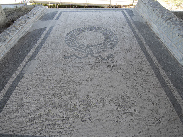
Mosaic pavement of the thermal baths in the Forum, Trajan age
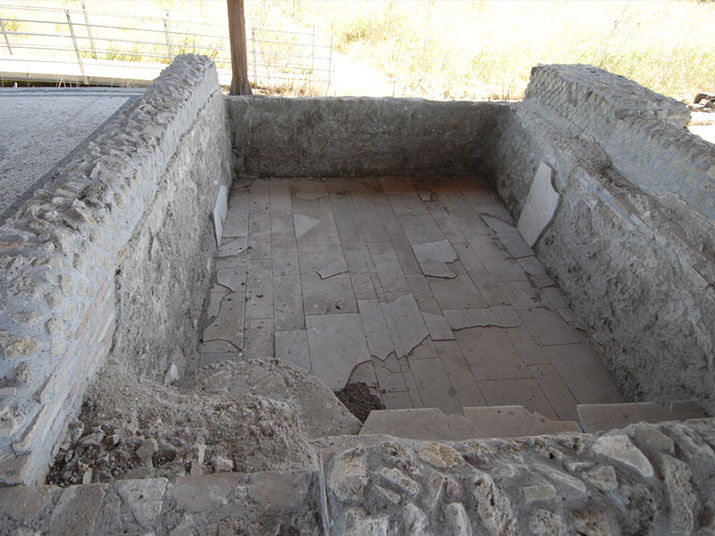
Thermal baths in the Forum, Frigidarium
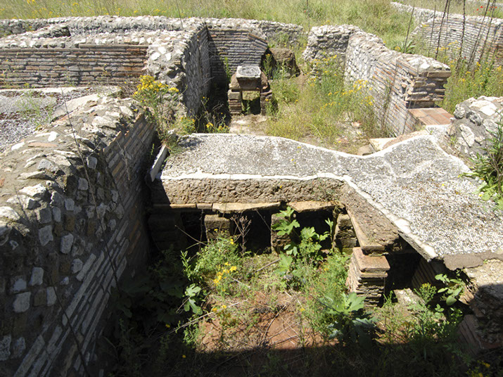
Thermal baths in the Forum, calidarium with suspensurae
Thermal baths in the Forum
Thermal baths along via Capenate
Amphitheater for gladiatorial games,
Julio-Claudian and Trajan age
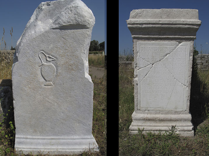
Epigraphs and honorary bases dedicated to famous people
who financed public events
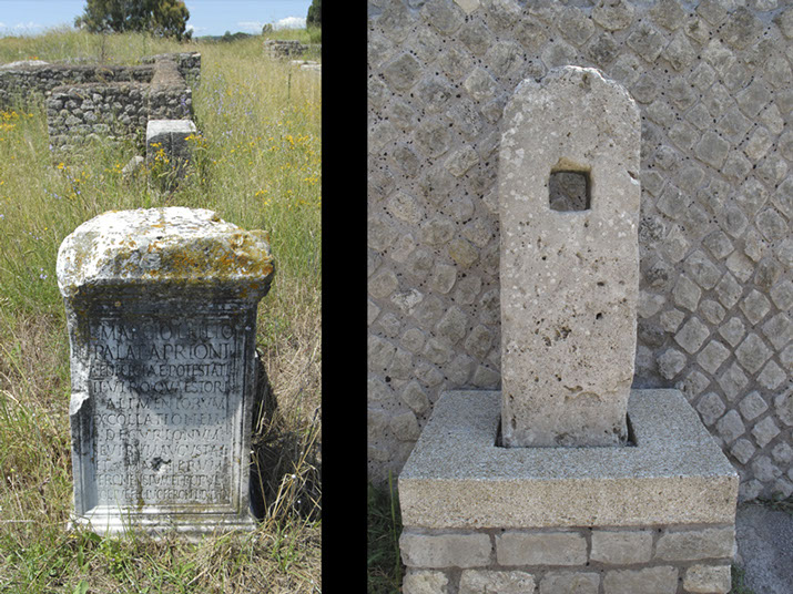
Epigraph and closing system of a gate to ban the carts
to access the Forum during the religious ceremonies
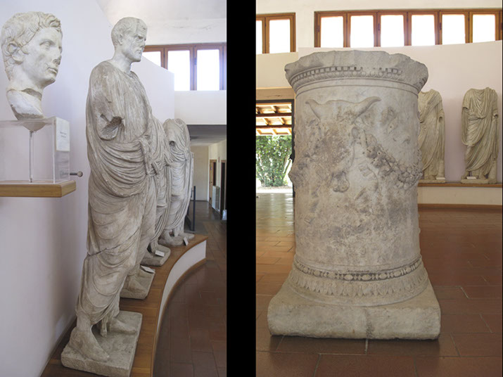
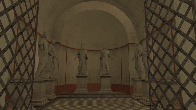
Lucus museum: statues of famous men
and altar for the civic cult of the goddess Feronia
1 - 27
<
>
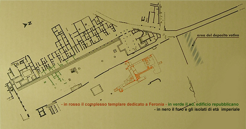
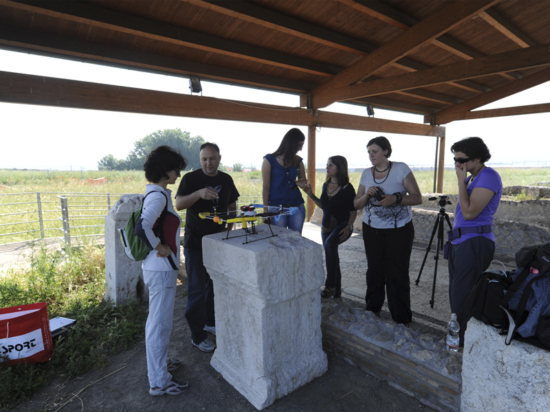
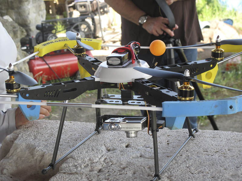
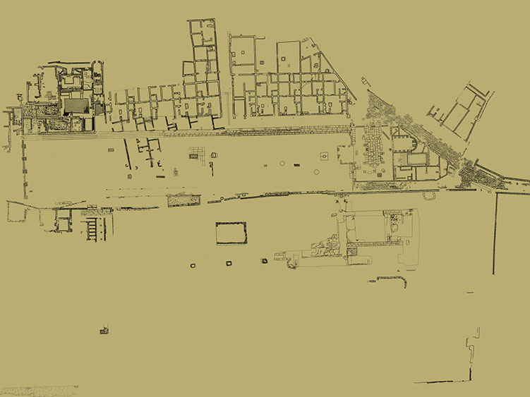
Plan of Lucus Feroniae with historical phases in evidence
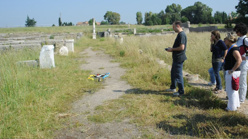
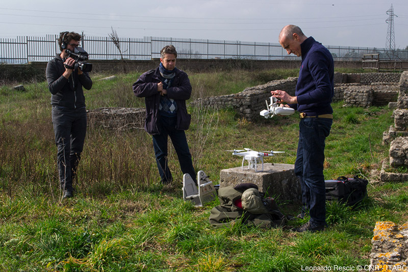
Self-assembled drone (courtesy of C. Leggieri)
Drone equipped with Canon Digital IXUS 50 camera
Self-assembled drone for photographic survey
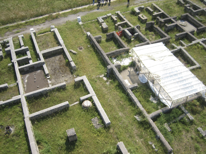
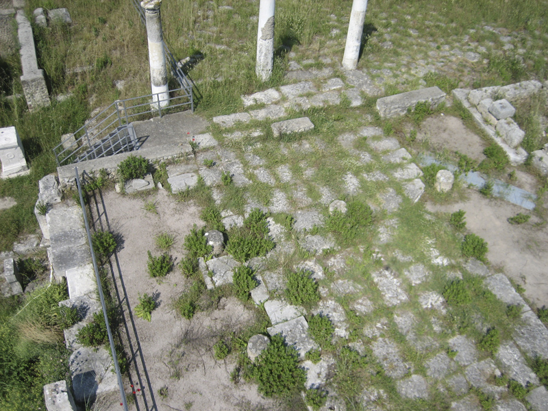
Photo from drone, workshop area, and Duoviri room
Photo from drone, Basilica area
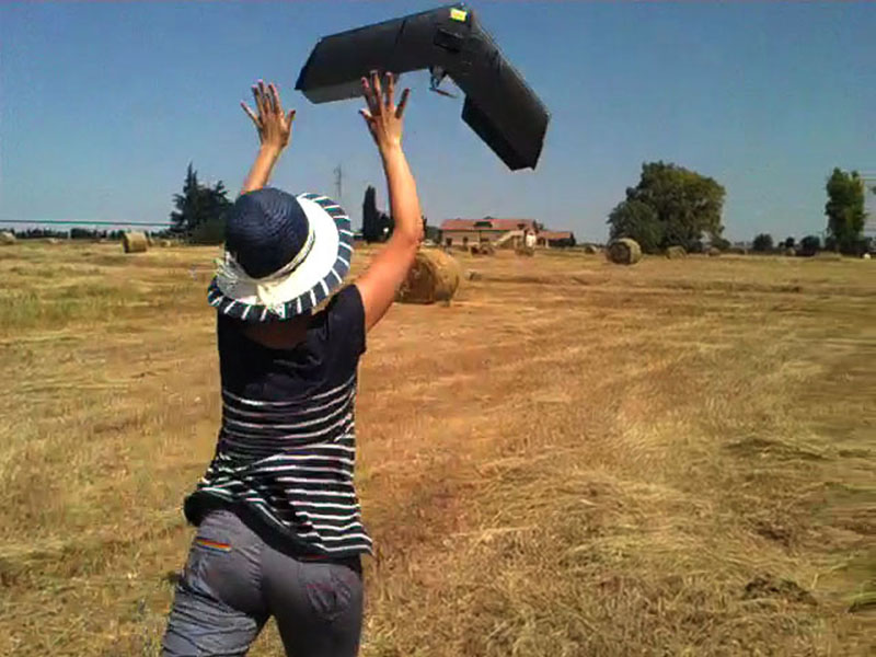
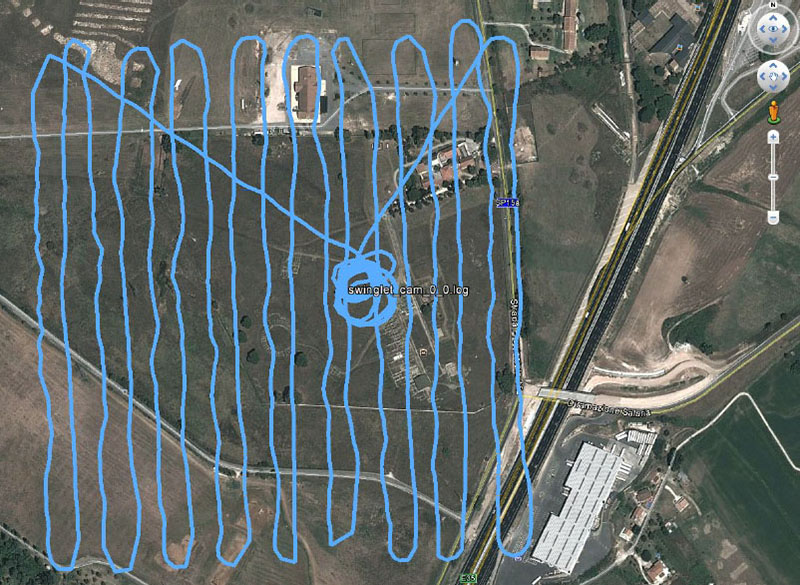
Drone Swinglet Cam, Canon IXUS 220HS 12 Megapixel
Flight path on the territory of Lucus Feroniae
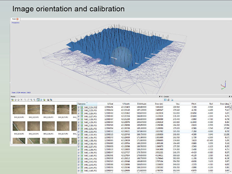
Images 3D orientation and calibration (Agisoft Photoscan)
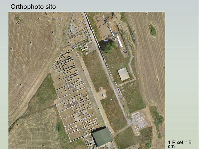
Orthophoto, (Photoscan)
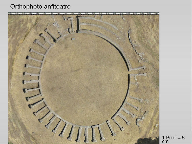
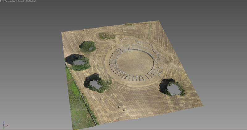
Orthophoto of the Amphitheatre (Photoscan)
3D model of the Amphitheatre, dense stereo matching
Drone DJI Phantom 2 vision with Full HD videocamera
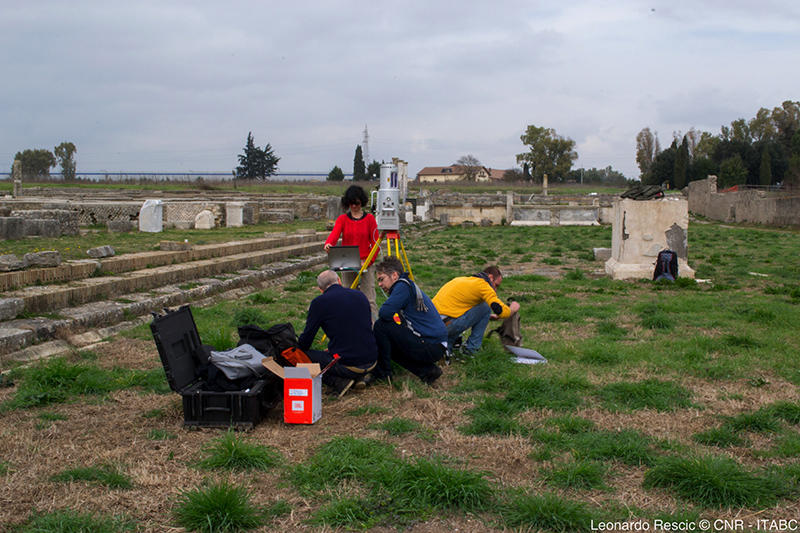
3D acquisition with laser scanner Riegl LMS 390i
Archaeological map of Lucus Feroniae
1 - 15
<
>
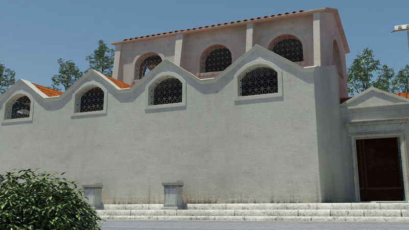
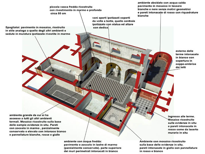
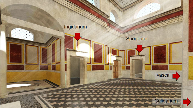
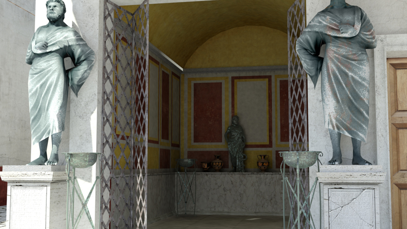
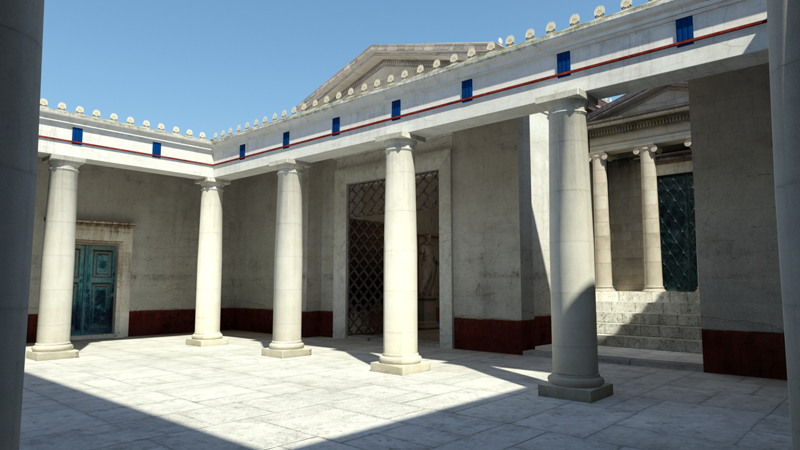
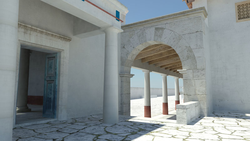
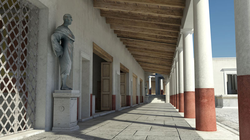
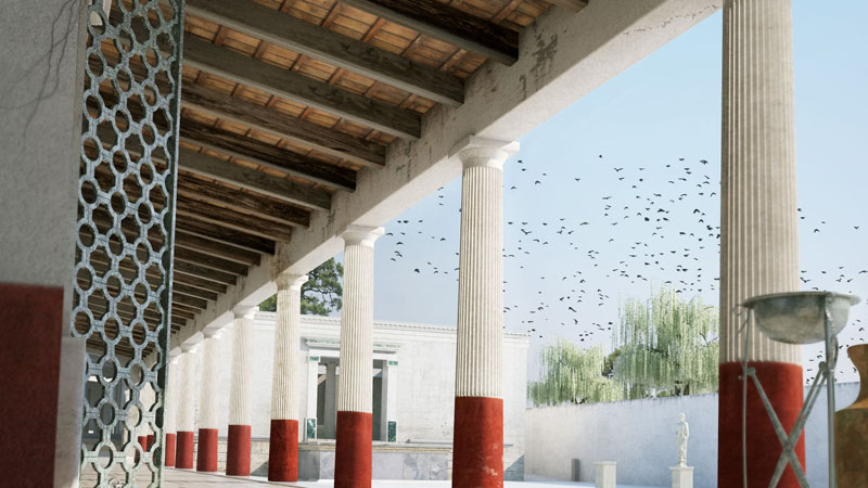
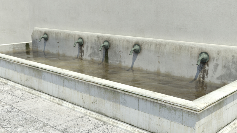
3D reconstruction of the Thermal bath in the Forum
3D reconstruction of the Thermal bath in the Forum, Trajan age
3D reconstruction of the Thermal bath in the Forum, Trajan age
3D reconstruction of the Duoviri room, in the Forum, (3D Studio Max)
3D reconstruction of the Basilica, (3D Studio Max, VRay)
3D reconstruction of the Augusteum, in the Basilica
3D reconstruction of the Forum
3D reconstruction of a workshop (3D Studio Max, VRay)
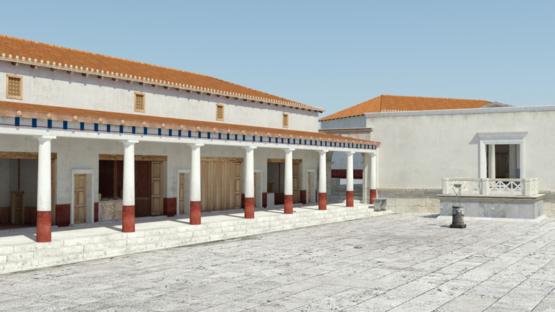
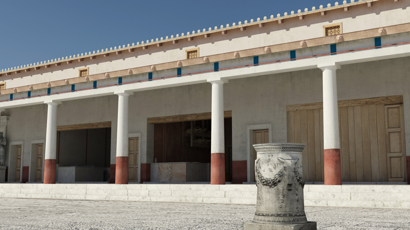
3D reconstruction of the portico on the western side of the Forum
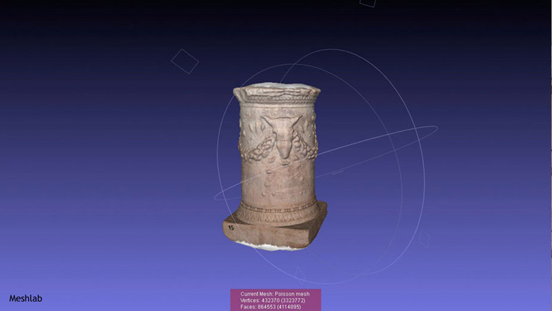
3D model of the altar dedicated to Feronia
(dense stereo matching, Meshlab)
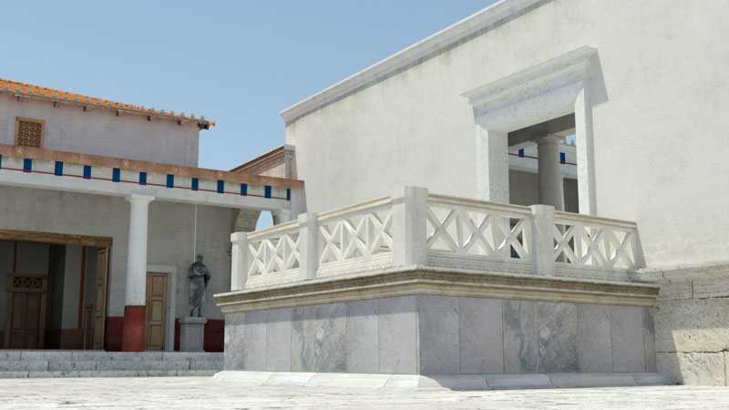
3D reconstruction of the podium of the Basilica overlooking the Forum
3D reconstruction of the temple of Salus Frugifera, in the Basilica
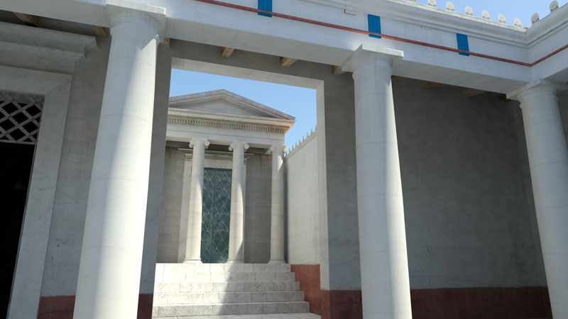
3D reconstruction of the accesses to the Basilica and to the Forum
3D reconstruction of the portico on the western side of the Forum
3D reconstruction of the portico on the western side of the Forum
3D reconstruction of the fountain on the eastern side of the Forum
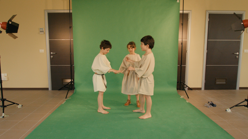
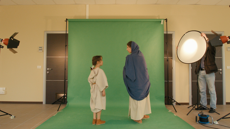
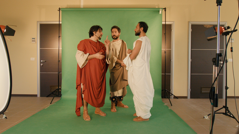
Virtual set with real actors playing the role of ancient personages
Virtual set with real actors playing the role of ancient personages
Virtual set with real actors playing the role of ancient personages
1 - 19
<
>

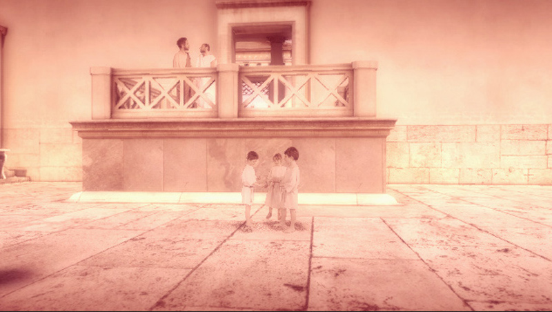
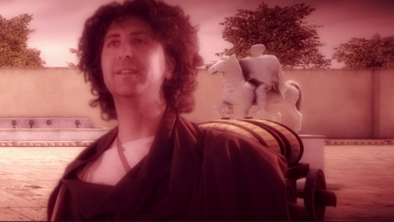
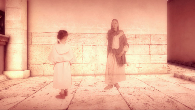
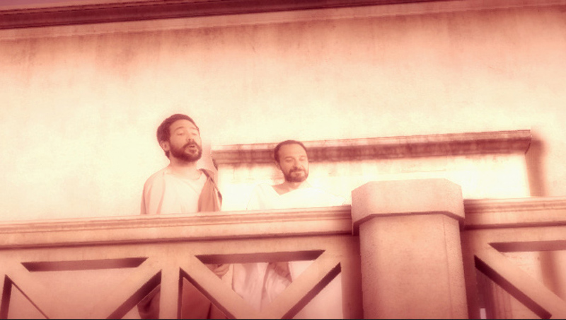
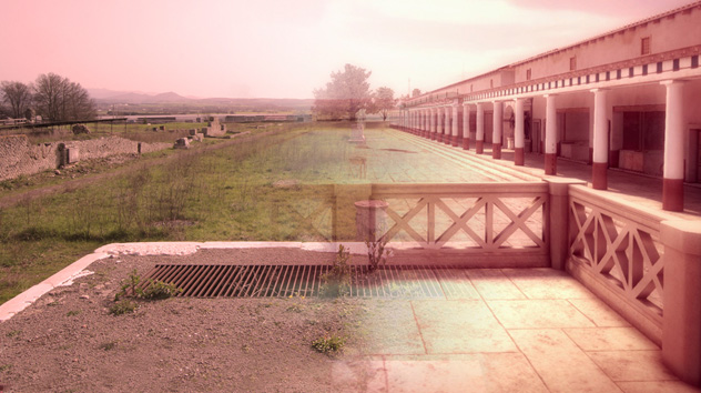
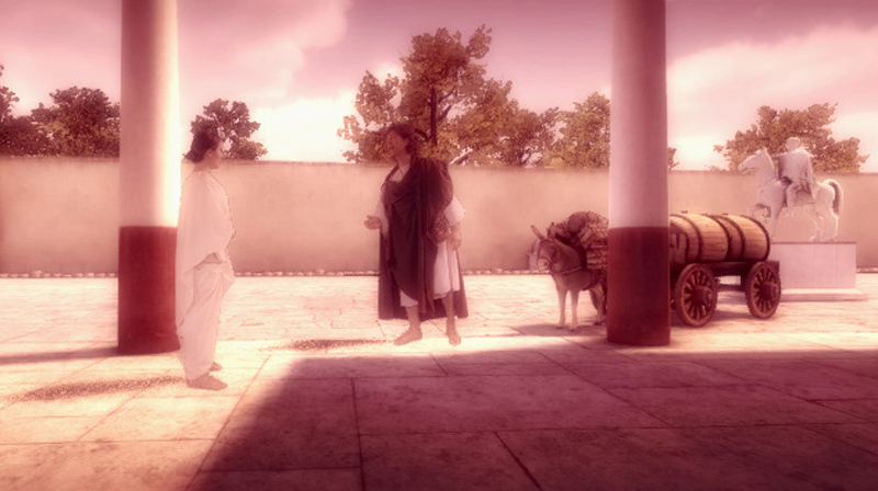
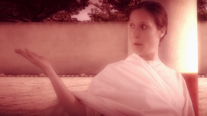
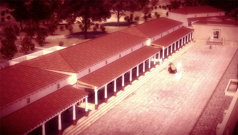
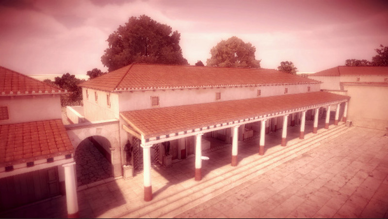

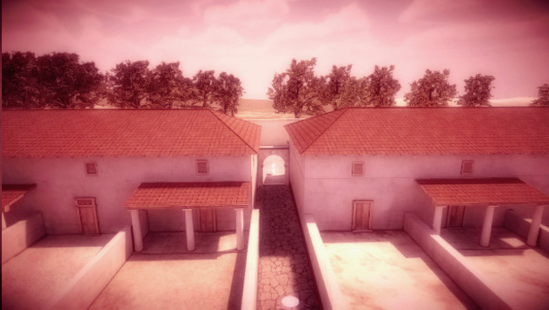


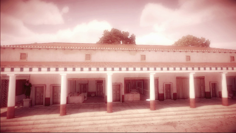
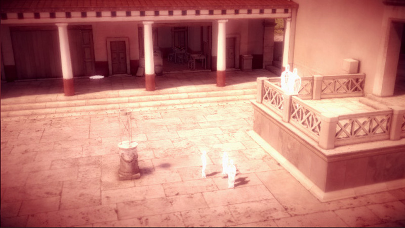
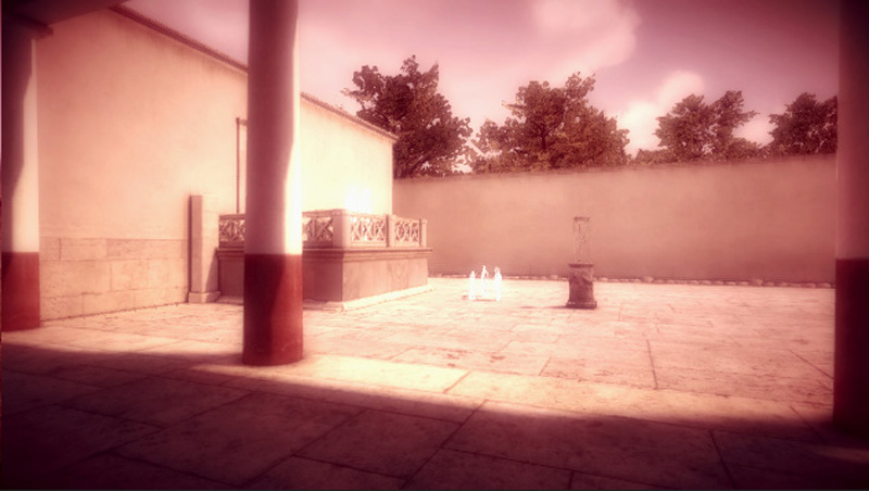
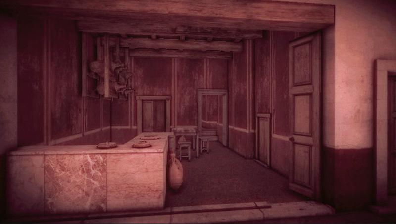
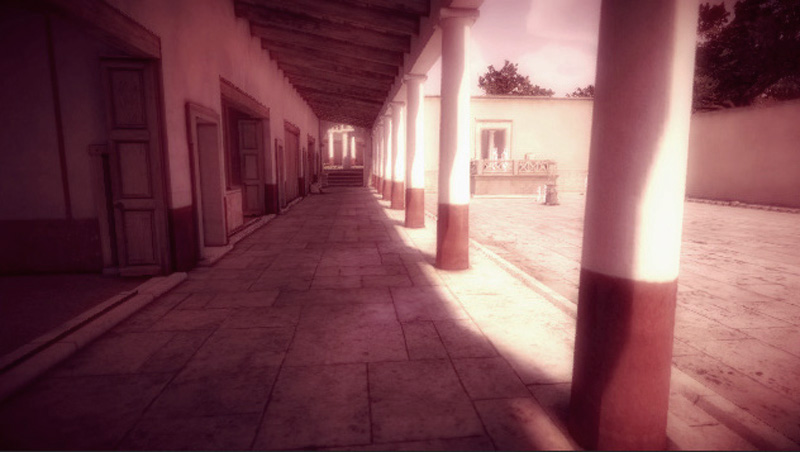
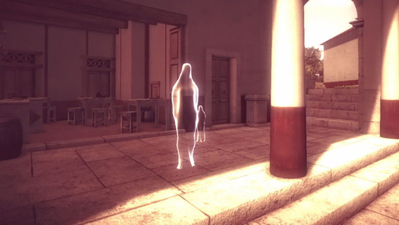
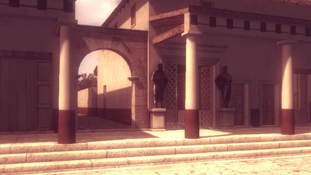
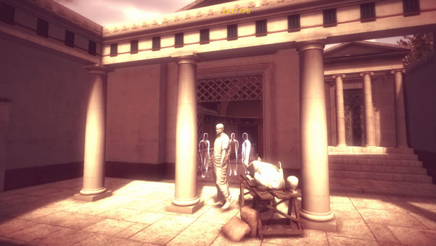
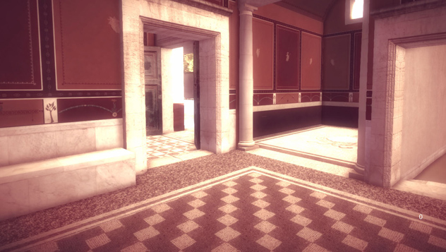
Lucus Feroniae in the final VR installation: display in on three screens
Real actors in the virtual Basilica, real time visualization (Unity 3D)
Real actor in the virtual environment, (Unity 3D)
Real actors in the virtual environment, Feronia appears to little Cesia
Real actors in the virtual environment, storytelling is episodic and interactive
The Forum seen from the podium of the Basilica (real-virtual)
The farmer asks for information to a local woman
Actors have been shot on a green screen with a cinema camera
The Forum in Tiberian age, with three blocks of shops
First block of workshops and road connecting Forum and Amphitheatre
Forum and podium of the Basilica,
real - virtual seen from the same point of view
The rendering (Unity 3D) wants to evoke rather than coldly describe
Workshop on the western side of the Forum, real - virtual
from the same point of view
Portico on the western side of the Forum, real - virtual
from the same point of view
Workshops; on the far lef the Dioviri room (Trajan age)
The shadows of the ancient characters anticipate
the narrative of the actors
Camera filters in Unity 3D give the grading and the rendering effects
3D reconstruction of a workshop, rendering in Unity 3D
Western portico of the Forum, (Unity 3D)
Shadows of the goddess Feronia and little Cesia, before actors appear
Side road accessing the Forum, Duoviri room on the right
Narrative episode in the Augusteum, in the Basilica
Thermal baths in the Forum, final rendering in Unitiy 3D
1 - 23
<
>
VILLA DEI VOLUSII
"She asked me what else I desired. I replied: to be lent a few days to Consul Lucio Volusio Saturnino, in his family, at his home".
Via Tiberina km 18,500 Capena
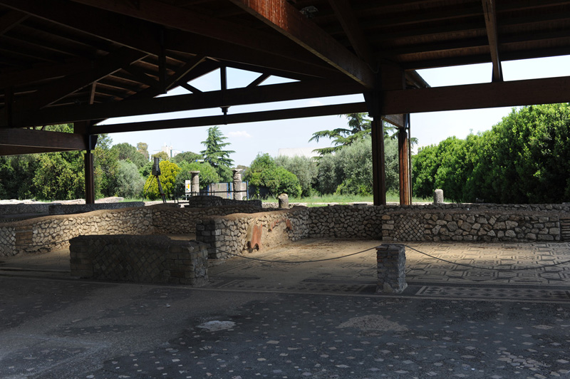
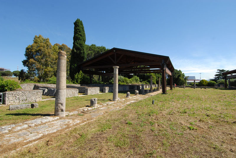
Volusii’s Villa, the most important roman villa of the area, is located near the ancient sanctuary of Lucus Feroniae, at around 30 km north from Rome.
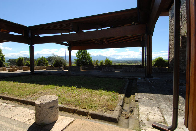
The site was discovered in 1962 during the excavation for the building of the Autoroute A1 Milan-Naples and was seriously damaged before the authorities could stop its destruction. The archaeological area is accessible from Feronia Service Area of the highway, North of Rome, and from the archaeological site of Lucus Feroniae.
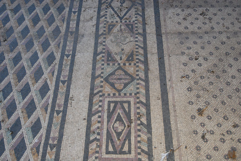
The first nucleus of the villa dates back to the Republican period, it belonged to the family of Egnazi, emerging family of Lucus Feroniae. Later on, Volusii Saturnini, one of the most important roman families, follower and faithful of Ottaviano Augusto, became owners of the villa,. The villa occupies the upper terrace and is divided into two sectors: the manor, to the east, where the owners resided, and the servile to the west. The residential part retains the previous republican core. Rooms are arranged around a small peristyle, all decorated with fine mosaics: the polychrome are dated to the late Republican age, while the black and white ones are of the first imperial age. Volusii’s estates aimed essentially at the production of cereals and livestock on a large scale, with a very large number of slaves. The proximity to the Tiber and the streets along the river guaranteed the ease transport and distribution to the urban market.
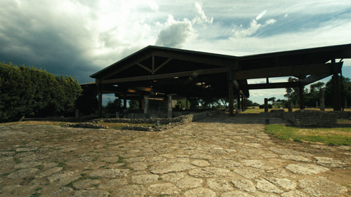
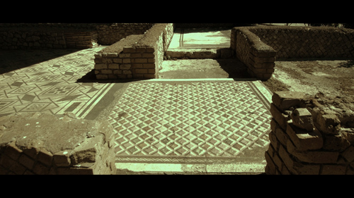
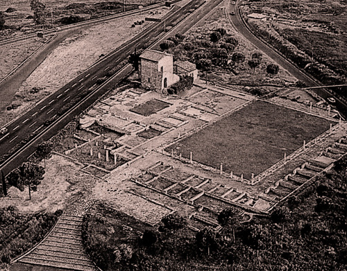
Volusii,'s Villa, vehicle accessible entrance
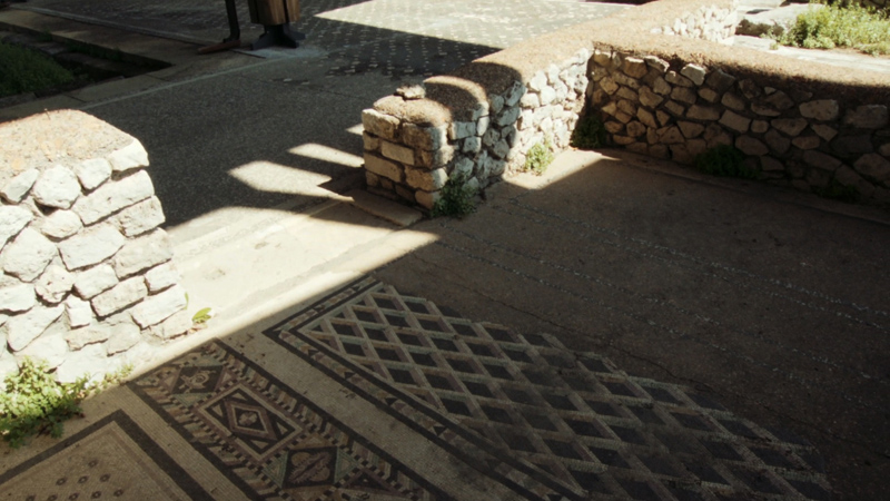
Republican mosaics, close to the Tablinum
Volusii's villa in 1960
1 - 3
<
>
SITE
SURVEY
3D MAKING OF
3D RECONSTRUCTION
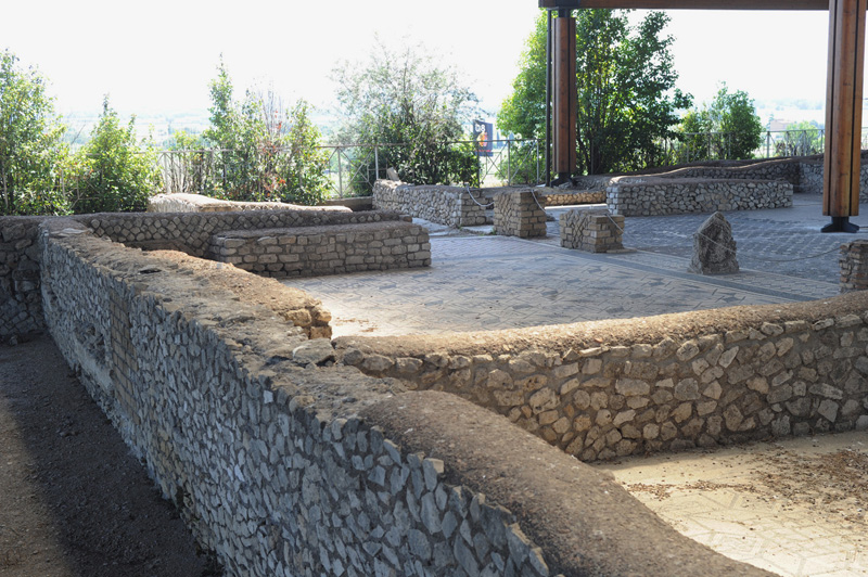
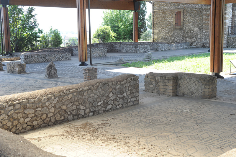
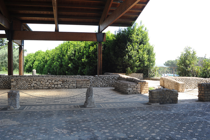
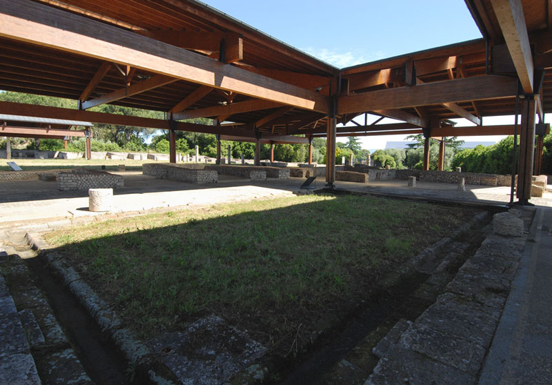
That Volusii is a typical example of the luxury villas
built between the late republican and early imperial phases
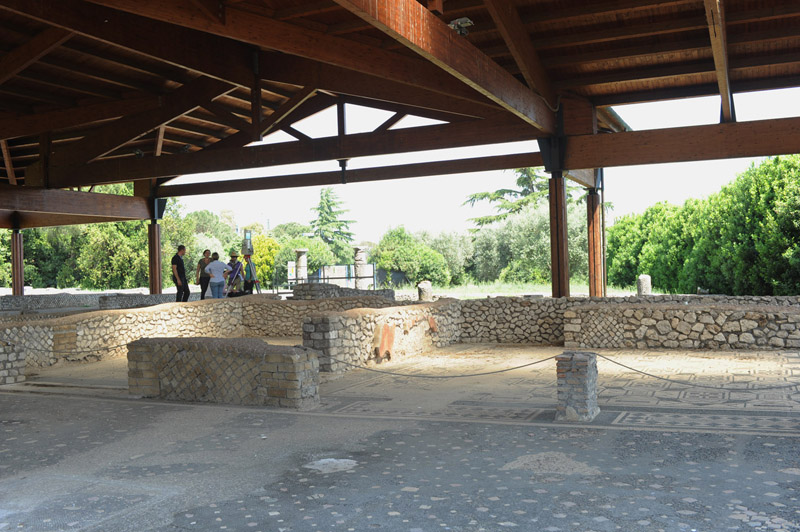
Residential area, rooms arranged around a small peristyle
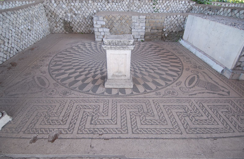
Tablinum with mosaics of the early imperial age
Tablinum, in the background the entrance from the Highway Blue Point
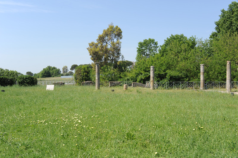
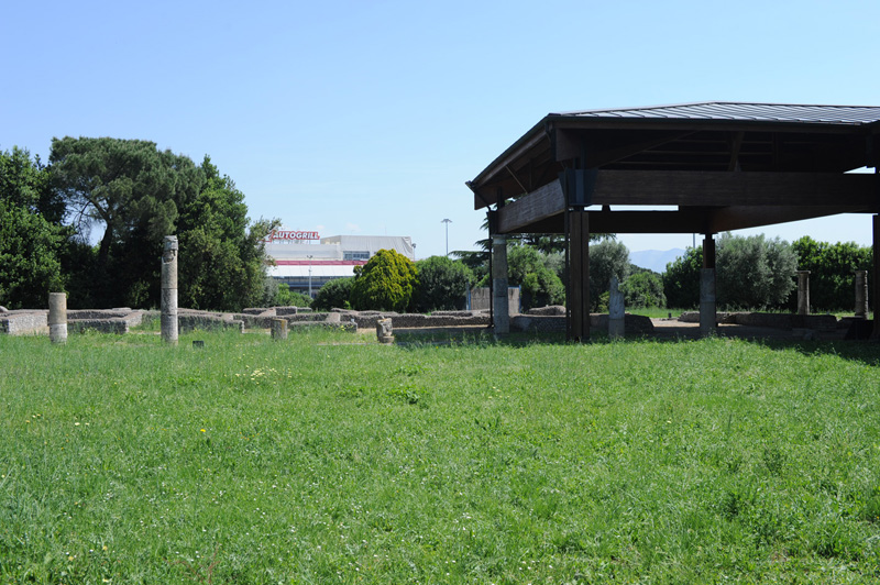
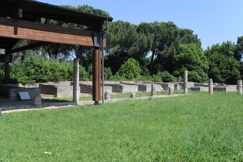
The great peristyle area. Compared to its estimated maximum
extension, about a third of the rooms of the villa have been unearthed
To residential and recreational functions of otia, a pars rustica,
destined to rustic-productive activities, is associated
Service rooms overlooking the peristyle interpreted as
ergastula (for slaves cells) or nundinae (markets)
Residential area, polychrome mosaics of the Republican period
Residential area, small peristyle
Lararium with original mosaic
Production area overlooking the great peristyle
Residential area, small peristyle
Residential area, polychrome mosaic of the Republican period
10 - 13
<
>
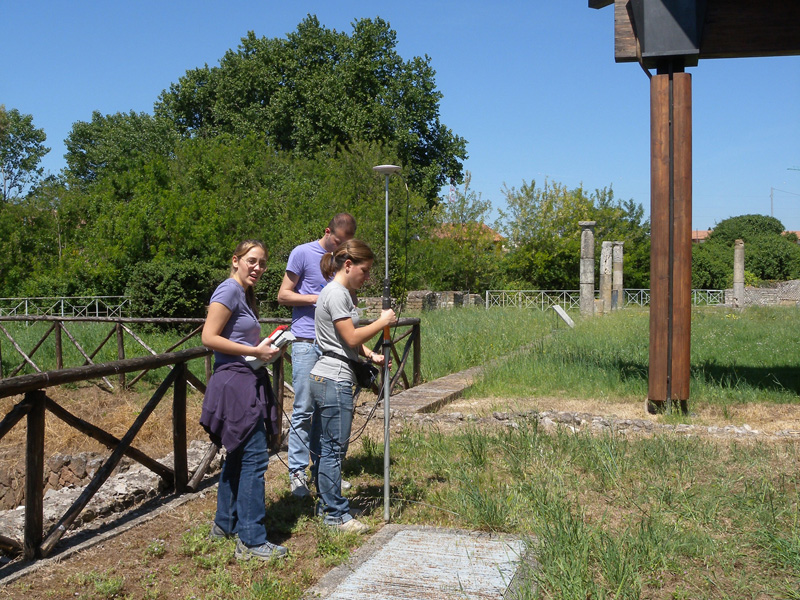
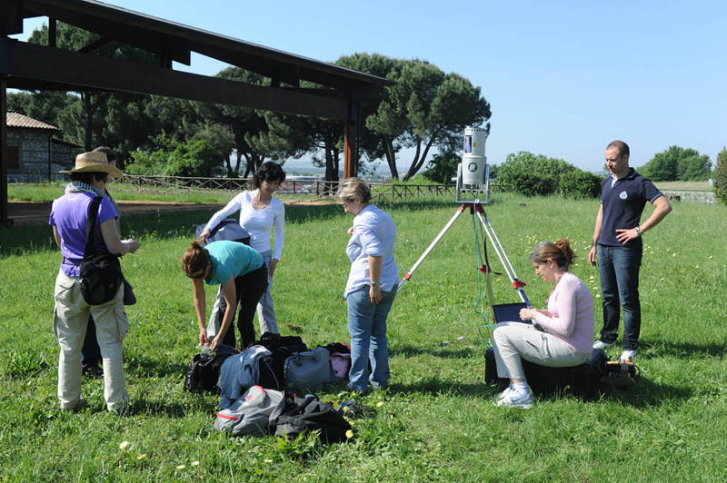
Survey with GPS
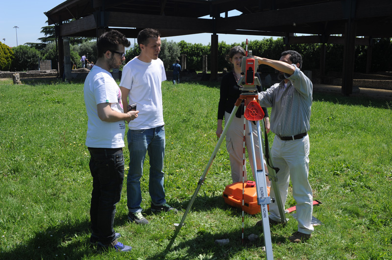
Survey with total laser station
Survey with time of flight laser scanner
Survey with time of flight laser scanner
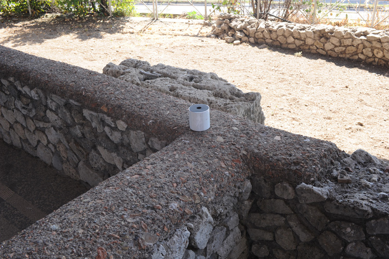
Target used to allign the point clouds acquired by laser scanner
Survey with laser scanner and photogrammetry,
Tablinum and adjacent room
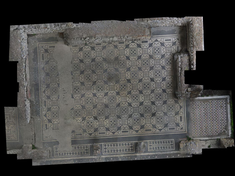
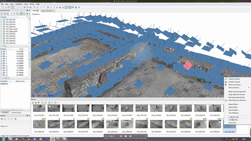
3D model obtained through photogrammetric techniques
(dense stereo matching, Agisoft Photoscan)
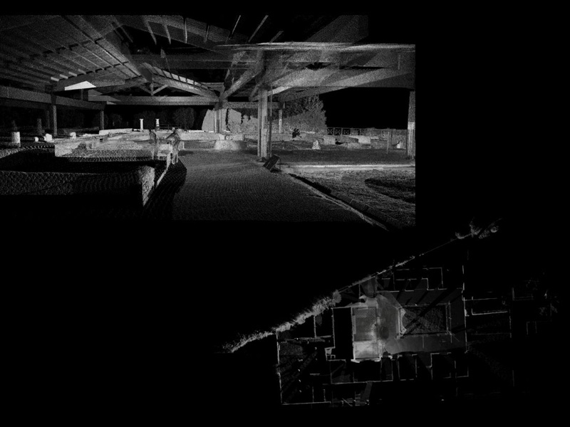
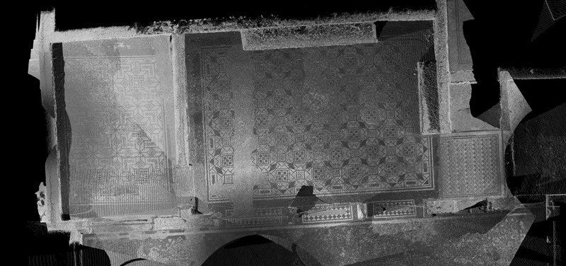
Point cloud to set the general topography of the site
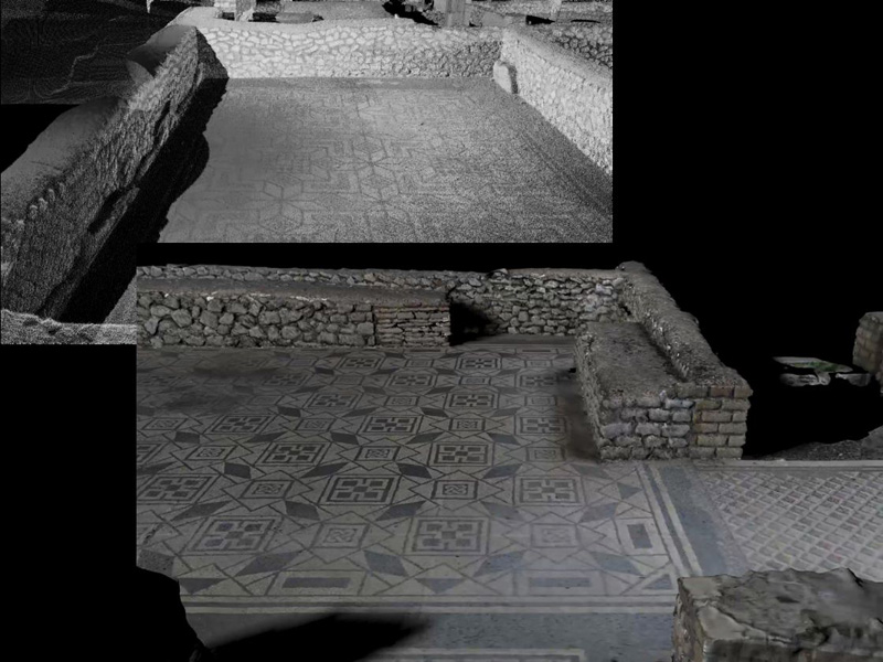
Point cloud of the area around the small peristyle
Point cloud acquired through laser scanner
of a room adjacent to the tablinum
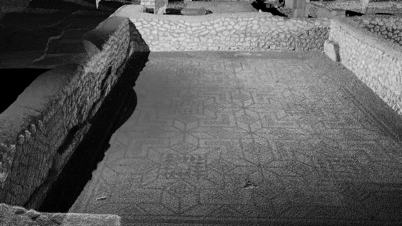
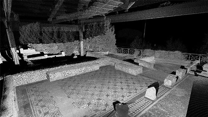
Point cloud of the tablinum and adjacent room
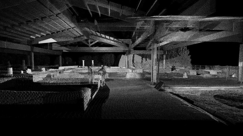
Point cloud of the tablinum area, railing
in the background marks the limit on the highway cutting
3D model of the tablinum , dense stereo matching techniques
(Agisoft Photoscan)
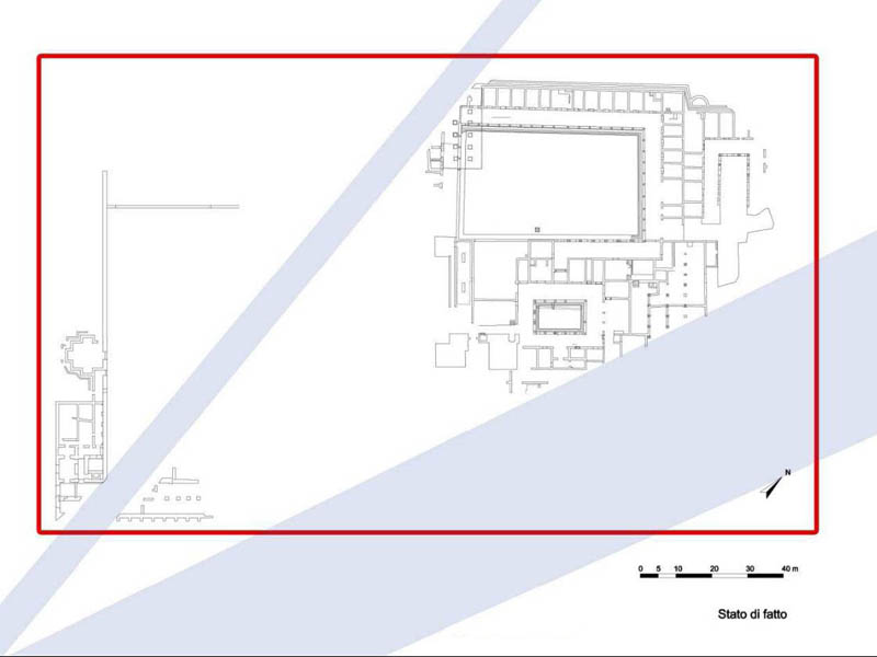
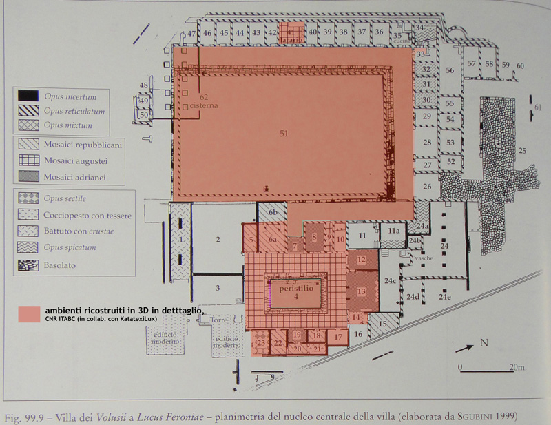
Plant of the archaeological site.
In light blue the cuts of roadways (1960s)
14 - 14
<
>
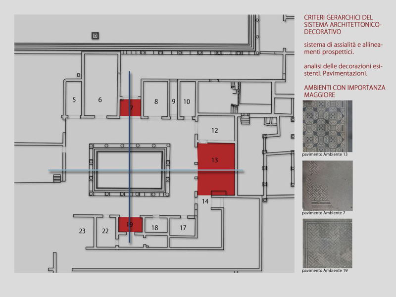


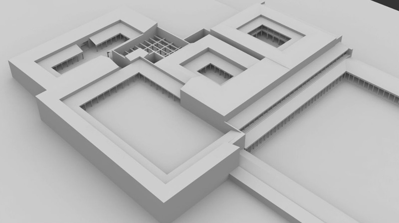
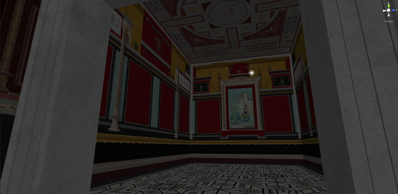
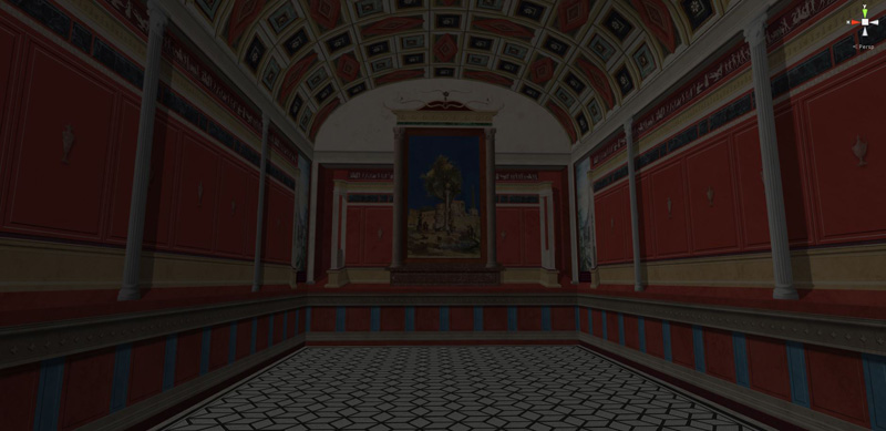
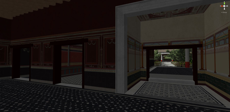
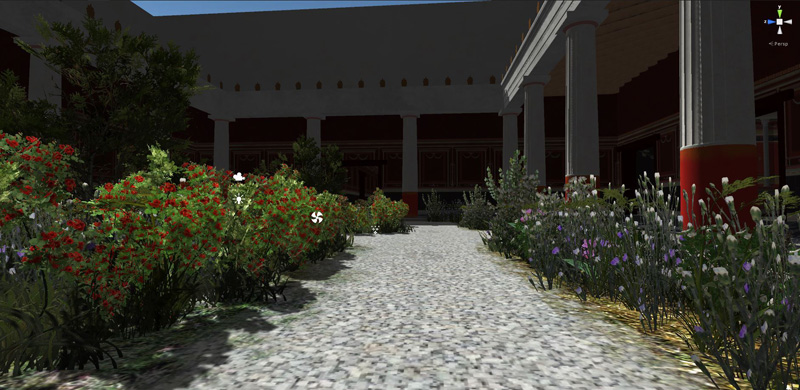
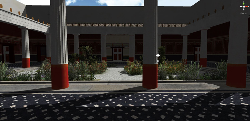
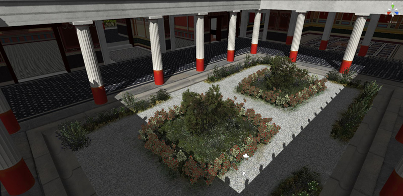
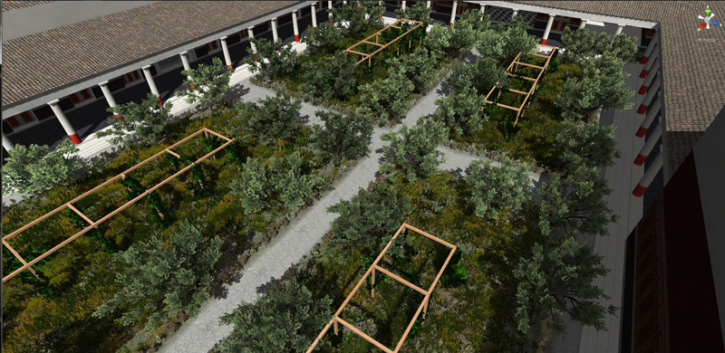
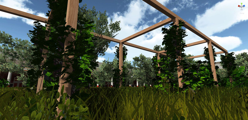
Hierarchy of importance of rooms
distributed along the spatial axes of the small peristyle
Hierarchy of importance of rooms
distributed along the spatial axes of the small peristyle
Hierarchy of importance of rooms
distributed along the spatial axes of the small peristyle
Hierarchy of importance of rooms
distributed along the spatial axes of the small peristyle
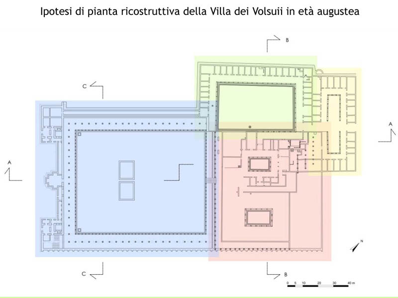
In red the residential unit; in green the part for productive activities;
in yellow the service entrance; in light blue the large garden
Plant of the construction techniques
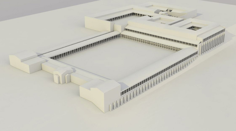
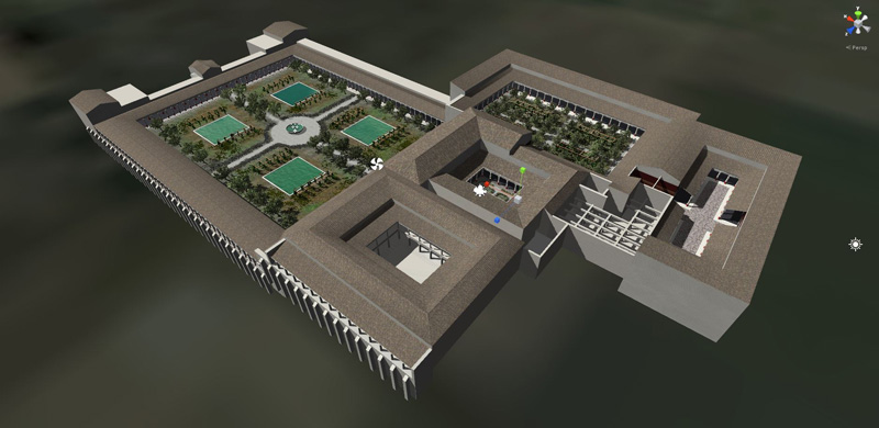
3D reconstruction of the general volumes of the Villa in Augustan age
3D reconstruction of the general volumes of the Villa in Augustan age
3D reconstruction of the general volumes of the Villa in Augustan age
Possible recostruction in Unity 3D of the tablinum in Augustan age.
The existing mosaic in black and white are probably of Hadrianic age
3D reconstruction, in Unity 3D, of the small peristyle,
before the lighting set up and camera filters
Possible recostruction in Unity 3D of the small peristyle in Augustan age
Possible recostruction of the tablinum in Augustan age.
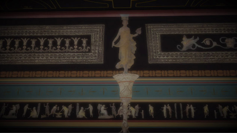
Decoration is evocative, based on typological comparisons
Possible recostruction of the tablinum in Augustan age.
Decoration is evocative, based on typological comparisons
Possible recostruction of a room in the residential area,
mosaics are original, wall painting is evocative
Possible recostruction of a room overlooking the small peristyle,
mosaics are original, wall painting is evocative
Possible recostruction of a room overlooking the small peristyle,
mosaics are original, wall painting is evocative
Possible recostruction of rooms between the small and the great peristyles,
mosaics are original, wall painting is evocative
3D reconstruction of the small peristyle in Augustan age,
possible reuse of the old Republican peristyle
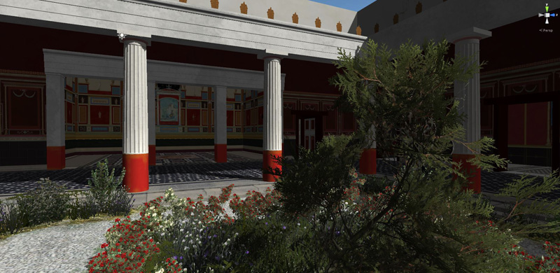
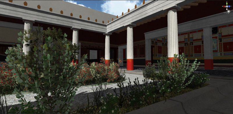
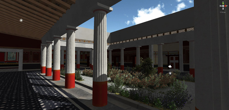
3D reconstruction of the small peristyle
3D reconstruction of the small peristyle, consisting
4 by 6 Tuscan columns plastered with faux marble
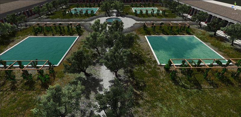
3D reconstruction of the great peristyle, probably connected
with the productive activities of the Villa
The vegetation has been created and edited in Unity 3D
The large southern garden, partly visible today
3D reconstruction of the small peristyle
3D reconstruction of the small peristyle
Virtual restoration of a polychrome mosaic, still existing, of the Republican age
1 - 27
<
>
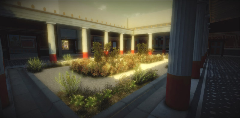
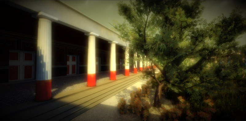
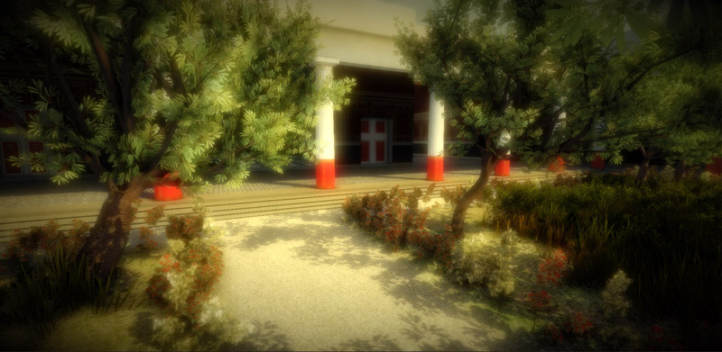
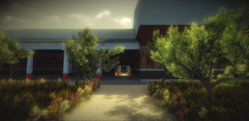
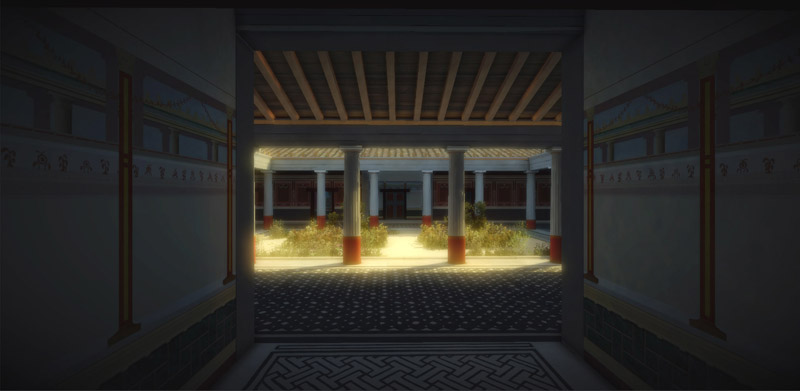
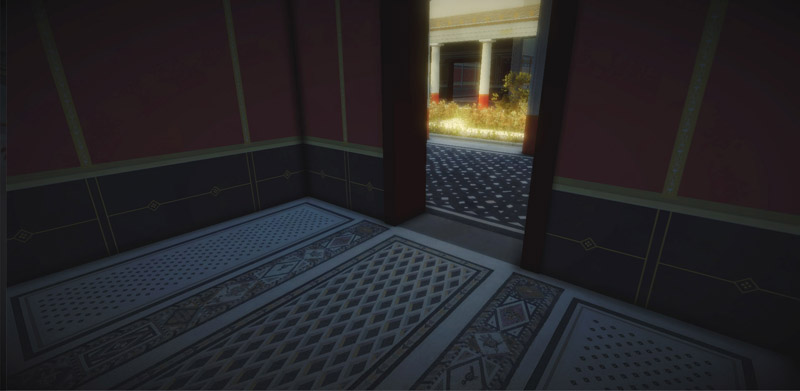
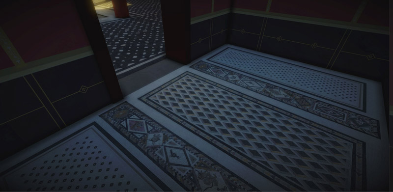
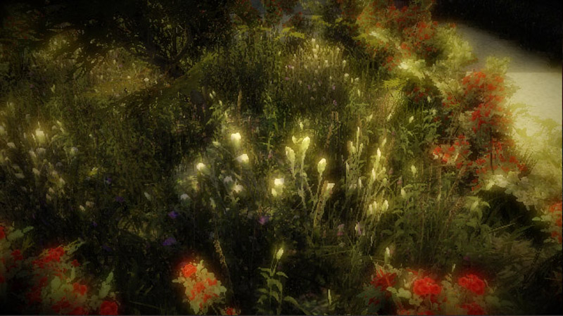
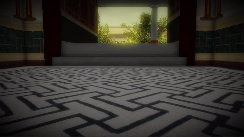
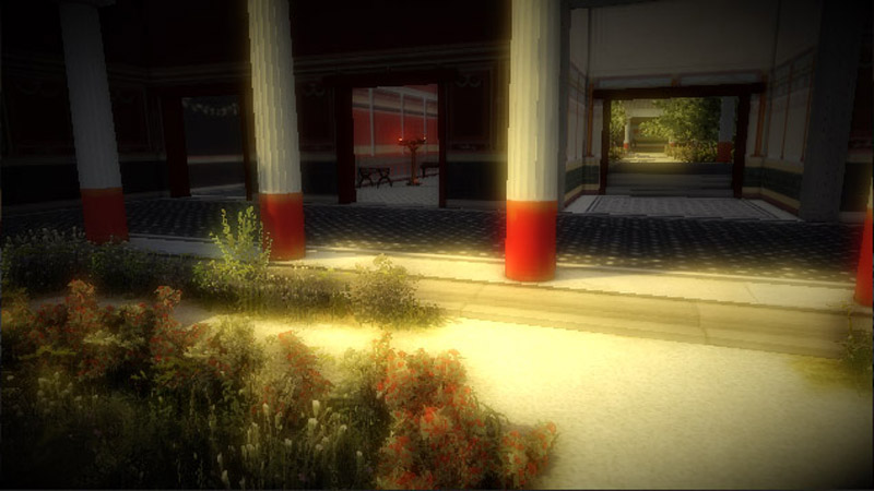
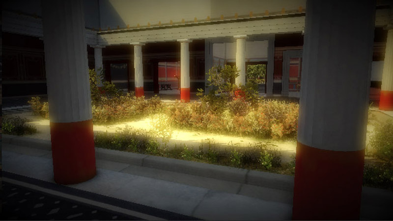
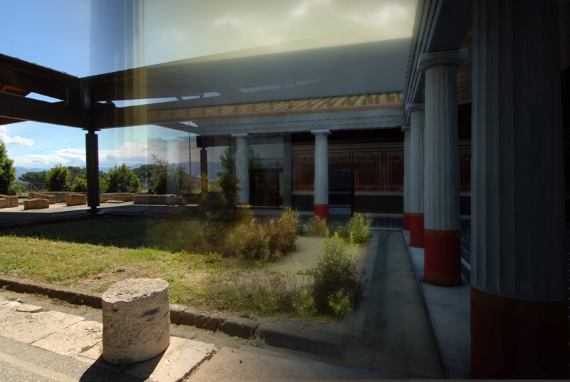
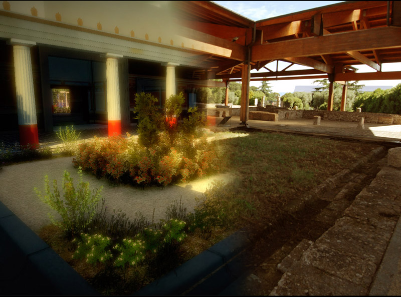
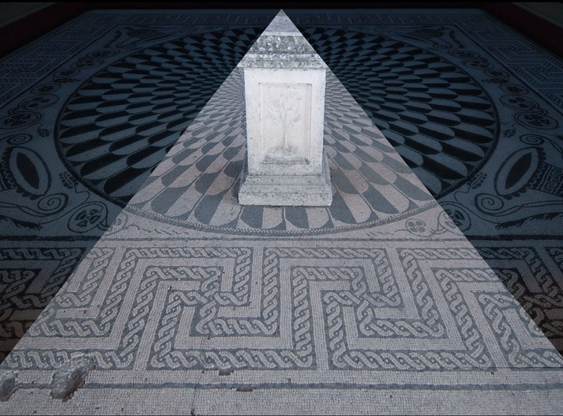
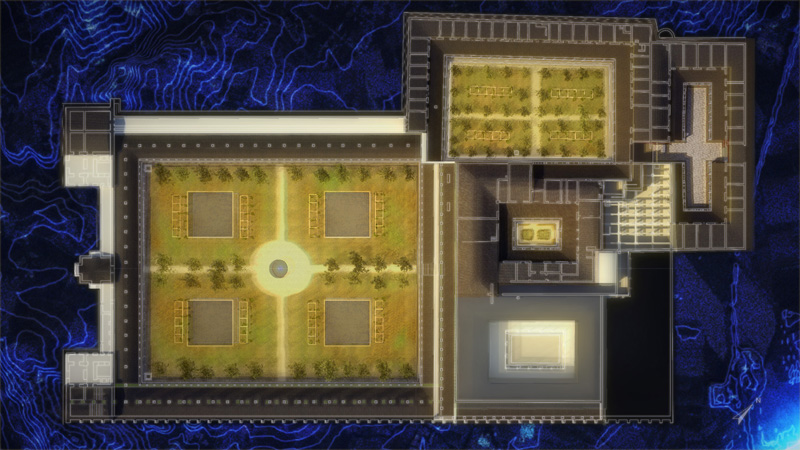
Final rendering of small peristyle in Unity 3D with lighting set up,
light mapping, camera filters, skybox, atmospheric effects
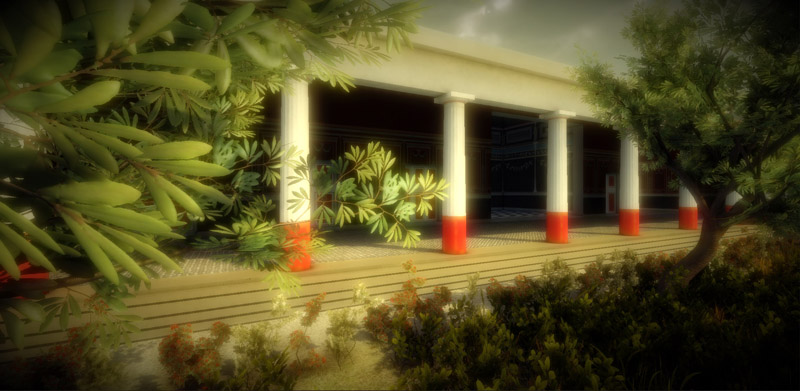
3D portico along the west side of the great peristyle
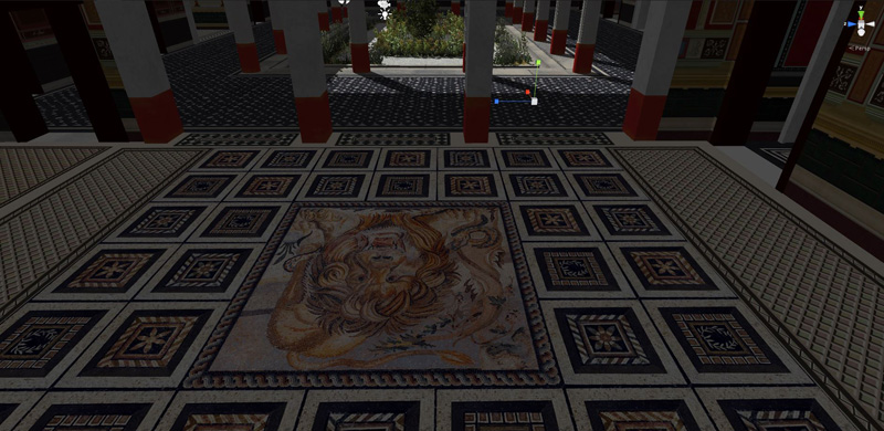
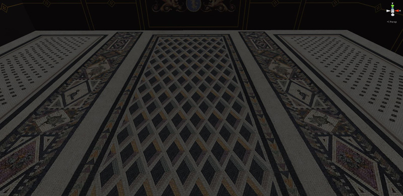
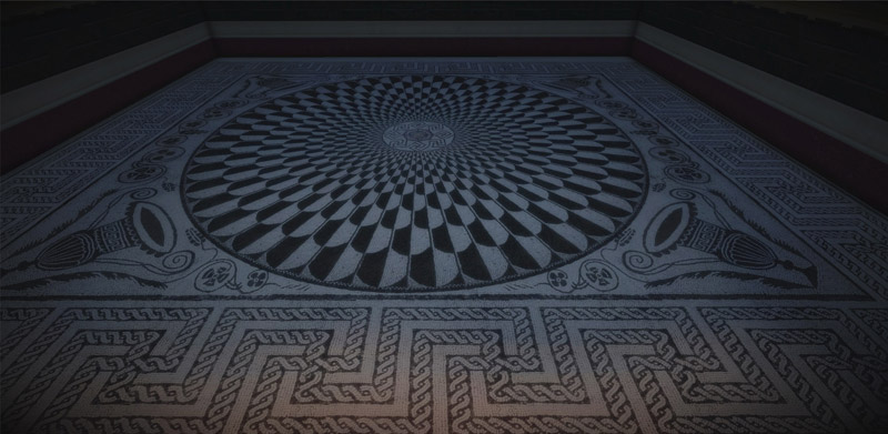
The mosaic floor of Lararium, 3D rendering based on the actual texture
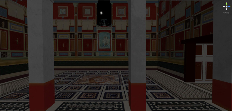
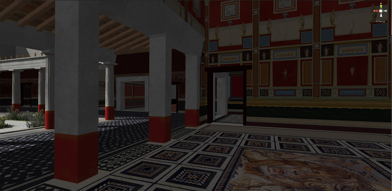
Final rendering in Unity 3D, with lighting set up and camera filters
Final rendering in Unity 3D, with lighting set up and camera filters
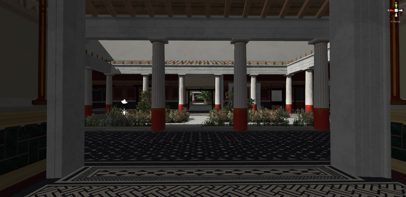
Perspective axis from large to small peristyle, final rendering in Unity 3D
Perspective axis to small peristyle, final rendering in Unity 3D
Final rendering in Unity 3D of a room overlooking the small peristyle,
with still existing mosaics
Final rendering in Unity 3D of a room overlooking the small peristyle,
with still existing mosaics
Garden of the small peristyle, final rendering in Unity 3D
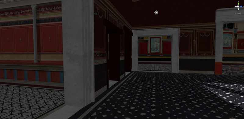
Room between the small and the large peristyles
final rendering in Unity 3D
Rooms between the small and the large peristyles
final rendering in Unity 3D
Example of decoration assumed on the basis of typological comparisons,
(coeval Roman villas of similar context)
Small peristyle, final rendering in Unity 3D
Small peristyle, final rendering in Unity 3D, overlaid
the actual view of the archaeological structures
Small peristyle, final rendering in Unity 3D, overlaid
the actual view of the archaeological structures
The mosaic of the Lararium that overlooks the large peristyle, (real-virtual)
Reconstructive plan of the Augustan age. The shaded portion
bottom right is hypothetical, since destroyed by the highway
18 - 18
<
>
TEVERE FARFA NATURAL RESERVE
Water, air, soil: suspended in perfect balance.
Dialogues of sounds and silences.
Via Tiberina km 28,100
TEVERE - FARFA NATURAL RESERVE
Between 1953 and 1955 ENEL built a dam on the Tiber River for the production of electricity, just downstream of the confluence with the river Farfa.
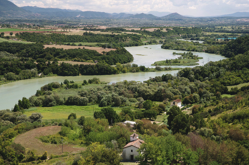
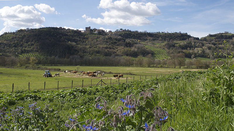
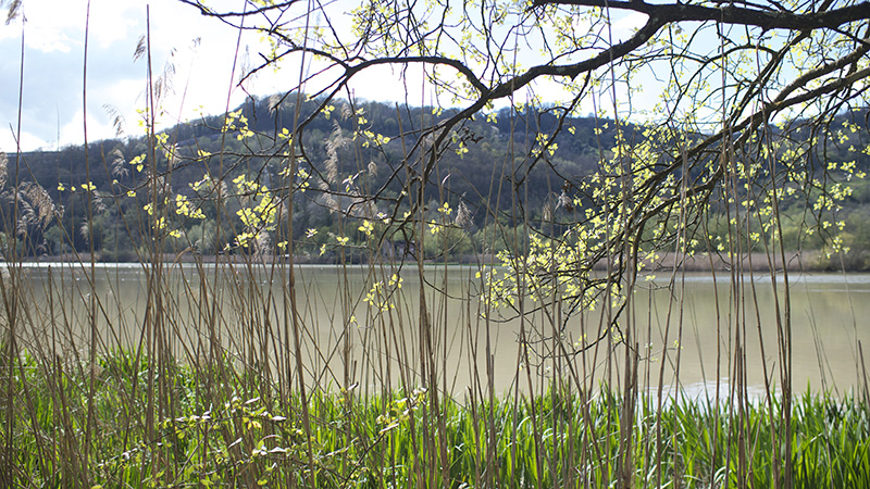
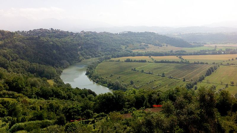
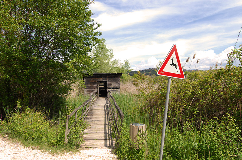
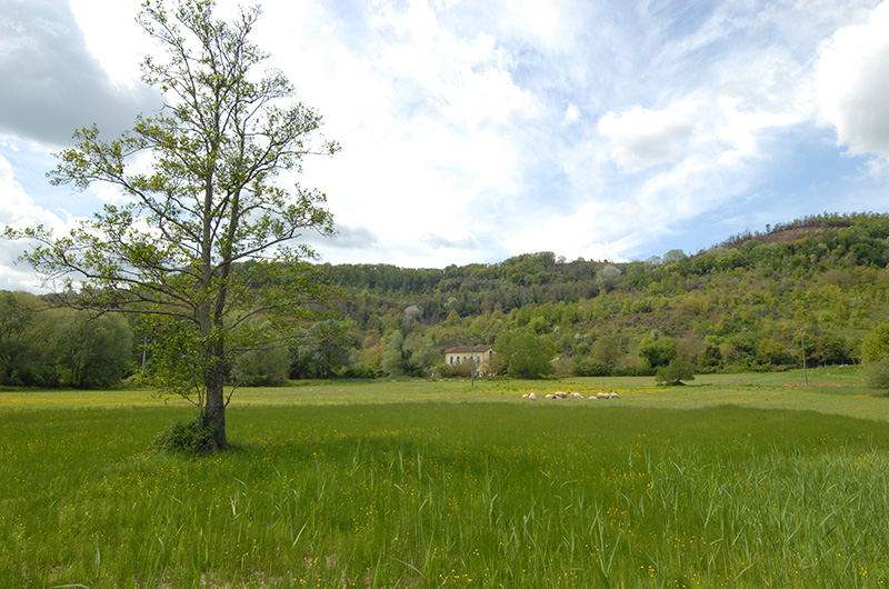
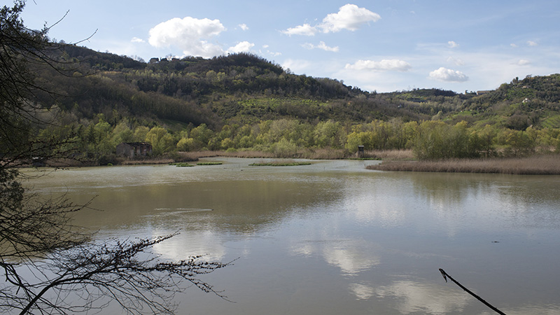
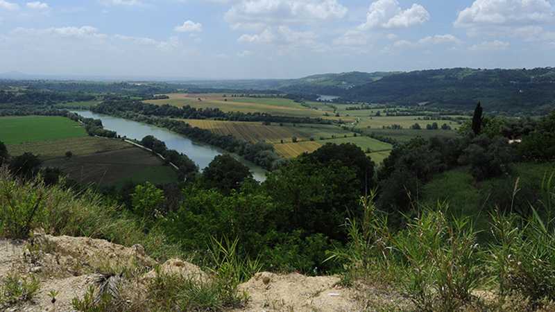
Following the realization of this dam, the water level lifted up, with the consequent flooding of surrounding lands. It formed thus a kind of "lake", extended for about 300 hectares, able to accommodate a large number of species of birds during their migration. The ecological importance of the Lake of Nazzano led in 1968 to the creation of a wildlife protected oasis, thanks to the agreement established between ENEL, the City of Nazzano and the Italian WWF. In 1979 the Lazio Region instituted the "Tevere-Farfa Nature Reserve", first regional protected area, including part of the territories of the municipalities of Nazzano and Torrita Tiberina. The Tiber flows slowly along this territory, forming large loops, in a beautiful natural, and extremely rich environment, that includes the swamp, the swamp forest, riparian forest, along with a large amount of animals. The birds are the main attraction for nature lovers, who can observe and photograph them in their different habitats, hiding in special wooden huts. Besides the many ducks, it is easy to see the great crested grebe, coots, kingfishers, herons and raptors such as the marsh harrier and osprey. It 'also nice to observe the changing seasons and the colors of dawn and sunset in this little paradise, suspended between earth, water and sky.
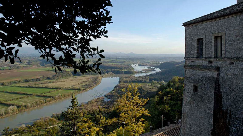
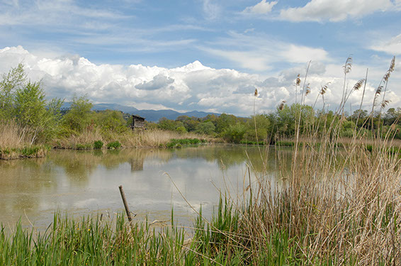
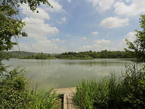
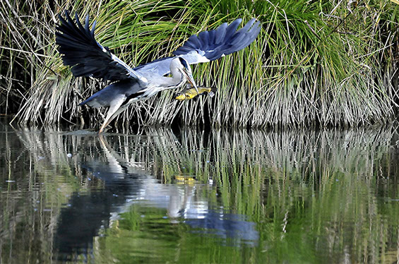
Tevere-Farfa natural reserve, from Nazzano
Tevere-Farfa natural reserve
Tevere-Farfa natural reserve
http://www.juzaphoto.com/destinazioni.php?d=tevere_farfa&l=it
1 - 4
<
>
SITE
BIRDS
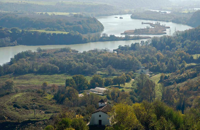
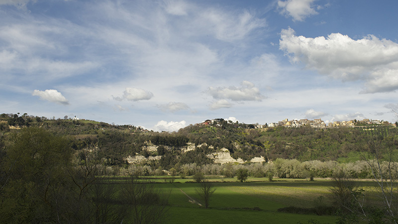
Tevere-Farfa natural reserve
The rock face of Ripa Bianca is for the birds, the ideal place to take refuge
and nest
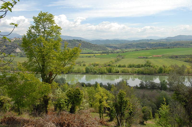
Meander of the Tiber at Ripa Bianca, between Nazzano and Torrita Tiberina
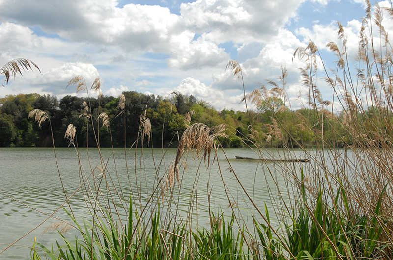
Lake of Nazzano, created upstream of the dam, populated by many birds
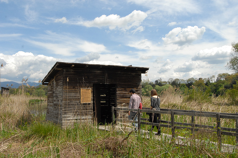
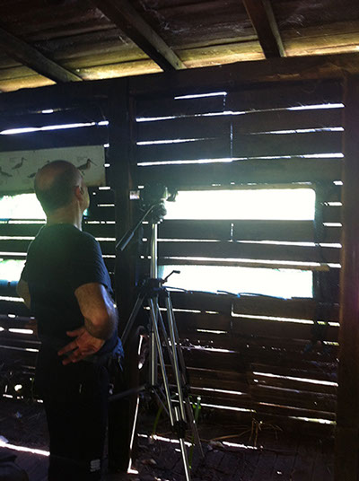
Hut for bird watching
The cattails, in the reeds near water
The agricultural landscape near the Tiber
The Tiber, in the reserve, is also a beautiful photographic subject
Meander of the Tiber and agricultural landscape
between Nazzano and Torrita Tiberina
Hut for bird watching
Hut for bird watching, with educational panels inside
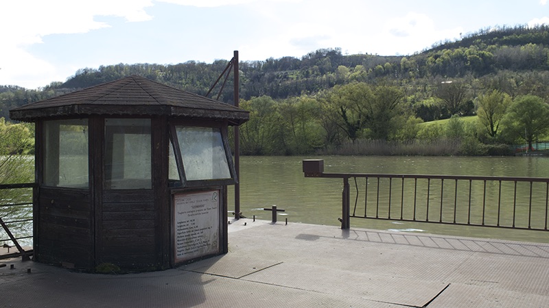
The ferry with the winch in the "Porto" area
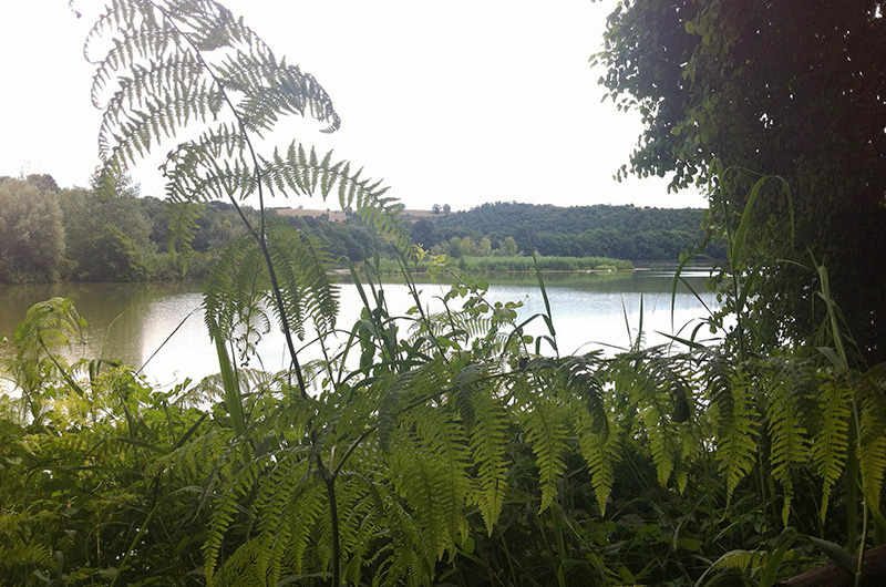
The ferns grow in wetlands, along the banks and ditches
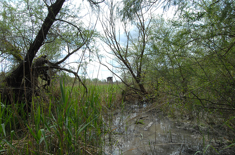
The marsh
The fields
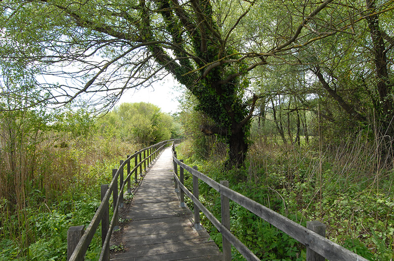
The path in the marsh is facilitated by walkways in wood
The agricultural landscape in the Tevere-Farfa Reserve, below Nazzano
The Reserve and, bottom left, the "Furnace"
The natural reserve seen from Torrita Tiberina
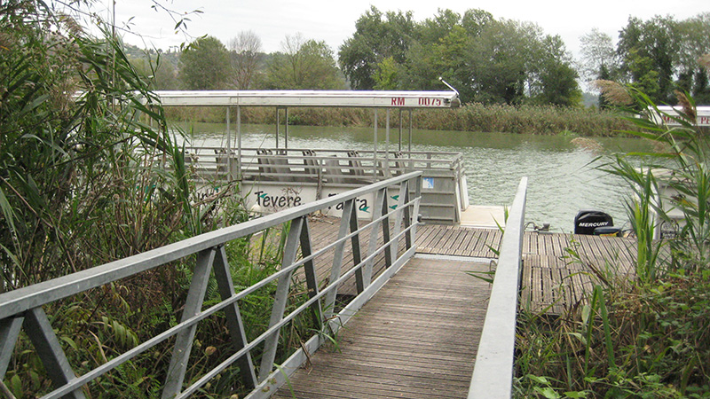
The electric boat for trips along the Tiber, in the natural reserve
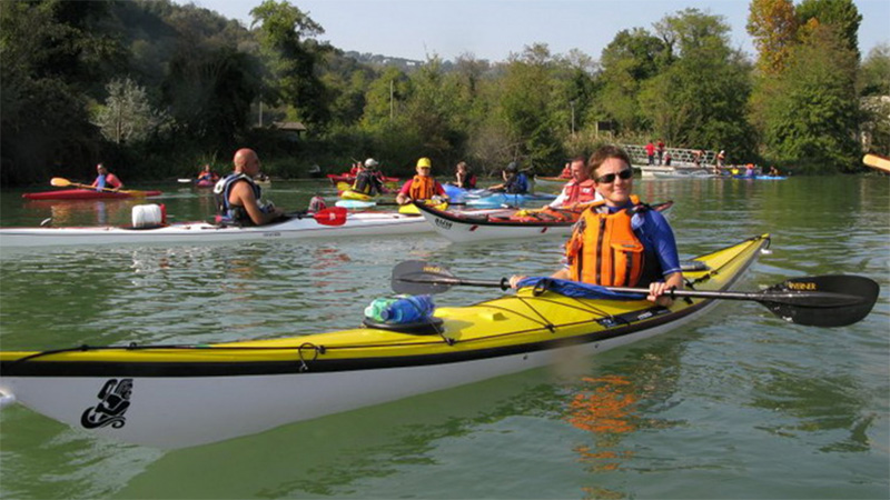
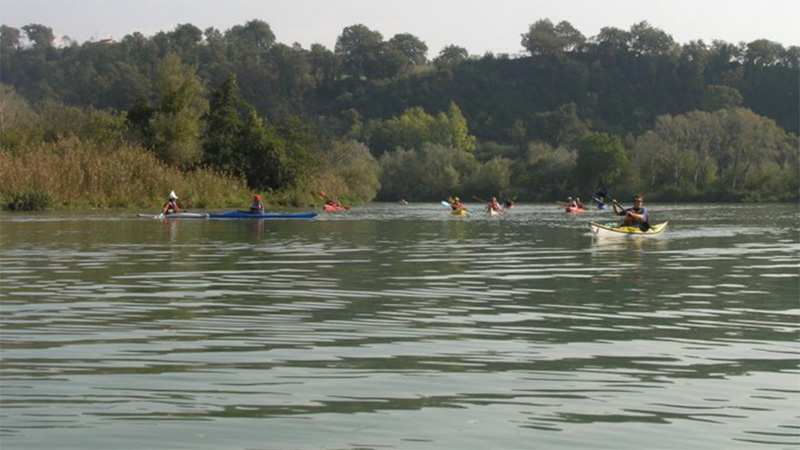
Gruppo Canoe Roma meeting in the natural reserve, once a year
Gruppo Canoe Roma meeting in the natural reserve, once a year (October)
1 - 22
<
>
Ricostruzione del castello9
1 - 1
<
>
SORATTE MOUNTAIN
The jump in the light or in the shadows: the priests-wolves, the hermitages
and the underground citadel
MOUNT SORATTE
Mount Soratte and its natural reserve are located in the municipality of Sant'Oreste, about 45 km north of Rome. It stands alone in the Tiber Valley, of which it is the highest peak (691 m.).
Its isolation and its location make the Soratte a beautiful panoramic viewpoint.
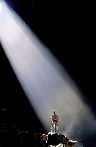
It is composed of limestone and is deeply interested by the karst phenomenon: a series of impressive grottoes plunge into the heart of the mountain, from the immense well of Saint Lucia to the vertical chasms of Meri, of great speleological interest.
The oldest artifacts found here lead us to think that the Soratte was inhabited since prehistoric times.
Surely in pre-Roman times it was used as a place of worship by the Sabines, Capenati, Falisci and Etruscans .This vocation was passed on to the Romans, with the cult of Apollo Soranus and then to the beginning of Christianity, when many hermits took refuge here, looking for silence and meditation.
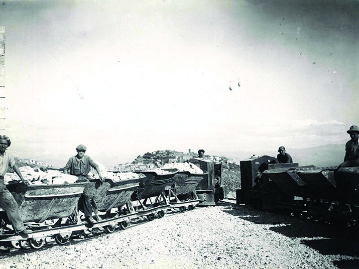
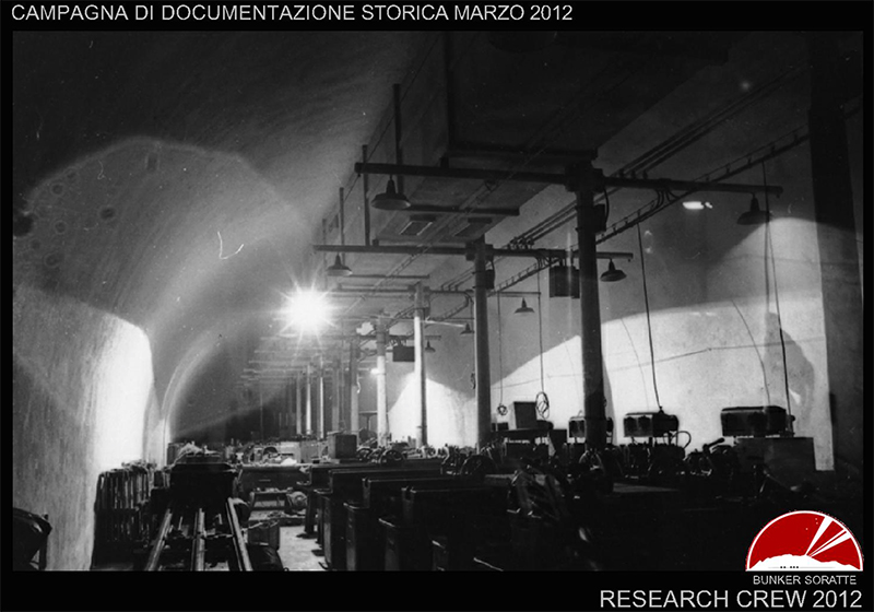
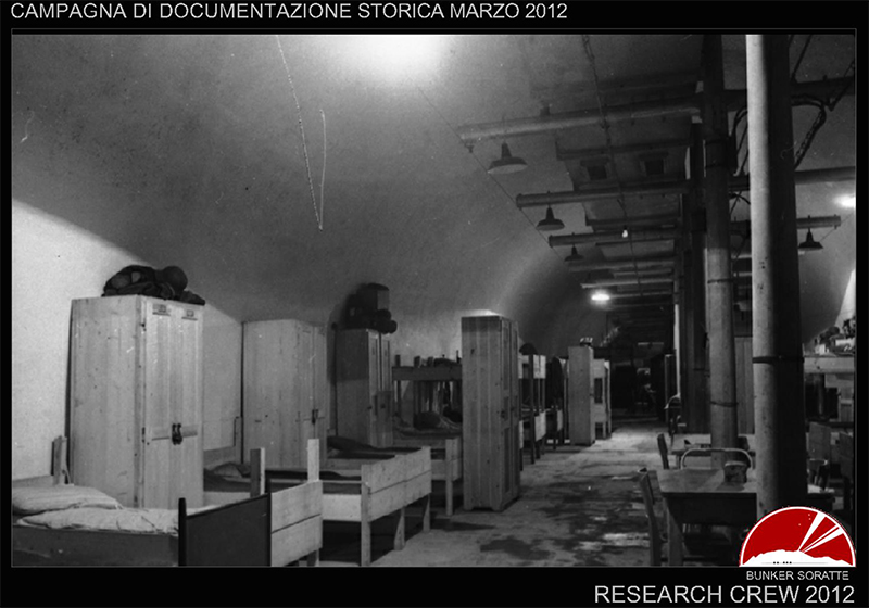
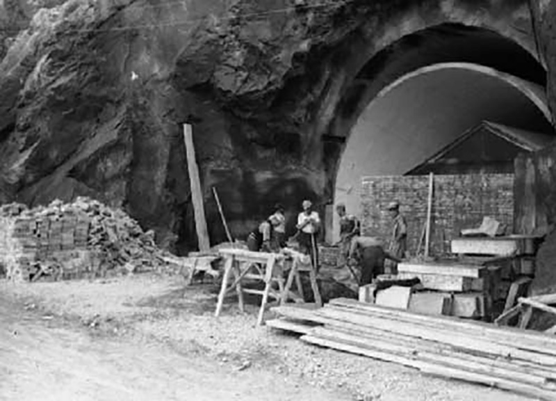
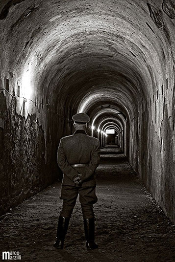
In the thirties a bunker was built in the bowels of the mountain, on the south slope: 4 km of tunnels which were to serve as a shelter for the supreme command of the army, in case of war.
During the Cold War, in 1967-72, the innermost part of it was turned into a fallout shelter.
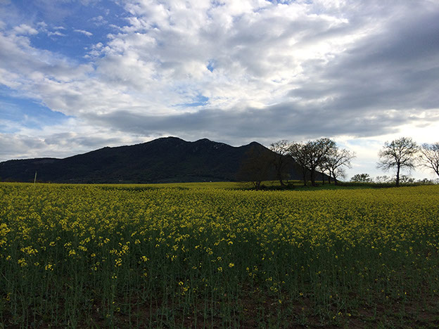
Soratte mountain
Soratte, Santa Lucia grotto
1 - 2
<
>
BUNKER
HERMITAGES
VIEWS
SUNSETS
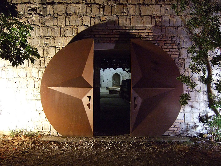
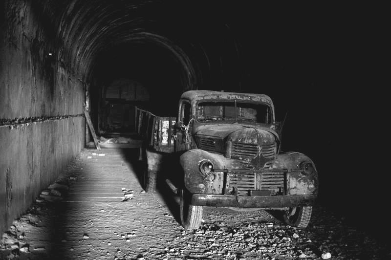
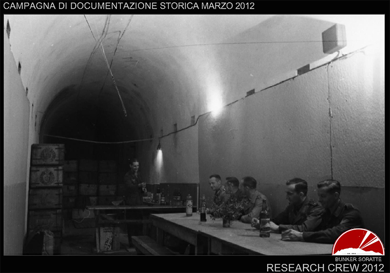
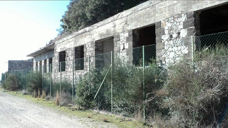
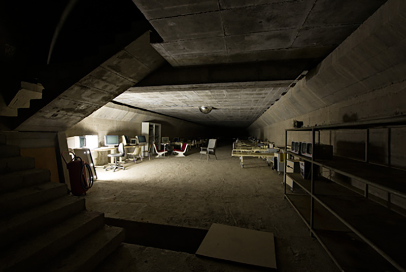
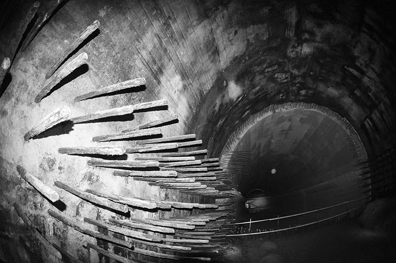
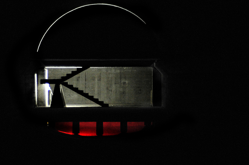
Entrance to Bunker Soratte
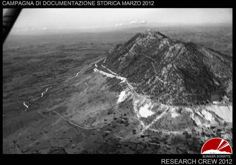
The south side of the mountain in 1943, the year of the Allied bombing
The construction of the bunker from 1937, on the orders of Mussolini
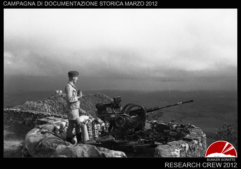
Air defense, 1943
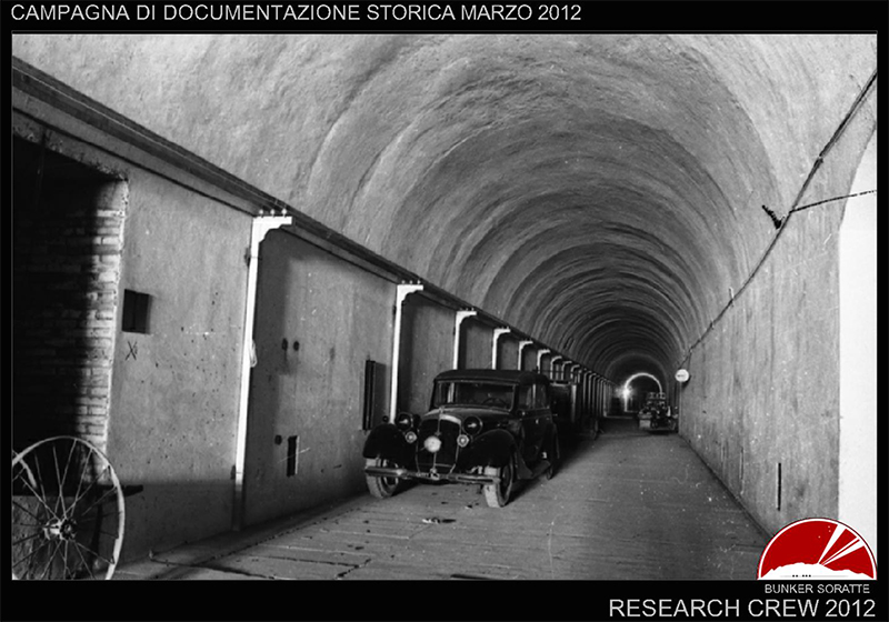
Interior of the galleries
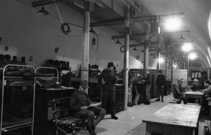
Interior room, 1943
Interior room, 1943
Dormitory, 1943
Entrance to the bunker, 1943
Internal gallery in an old photo
The association Bunker Soratte is responsible of the guided tours
Internal room, 1943
The barracks as it appears today, originally painted to camouflage it
The fallout shelter created in the inner part in 1967-72
Structure of the fallout shelter
The fallout shelter created in the inner part
1 - 16
<
>
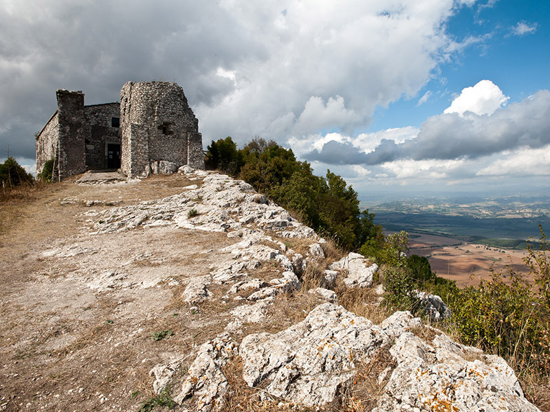
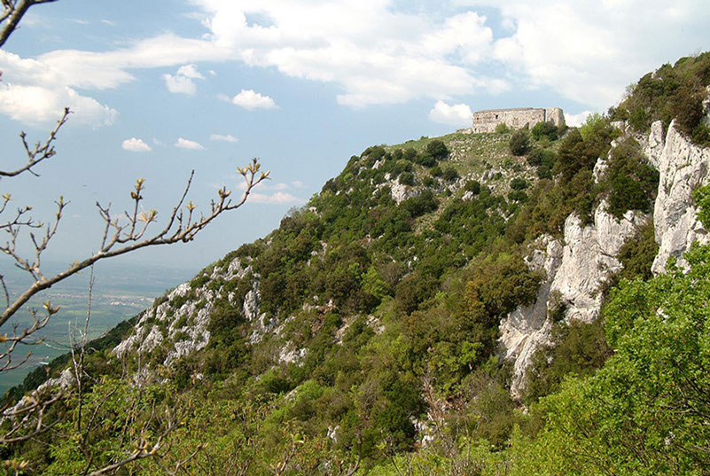
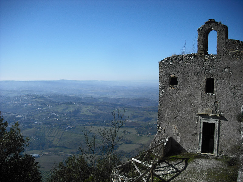
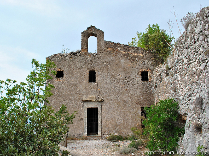
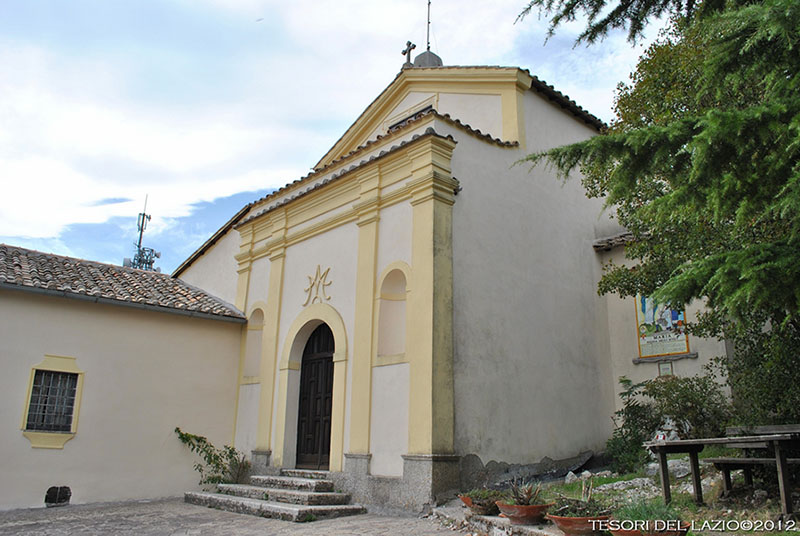
Hermitage of San Silvestro, built in 747 and painted in the Carolingian period
Hermitage of San Silvestro, on the top of mount Soratte
Hermitage of Sant'Antonio
Sant'Antonio is located along the "Hermitages" hiking trail
Sanctuary of Santa Maria delle Grazie, on mount Soratte
1 - 5
<
>
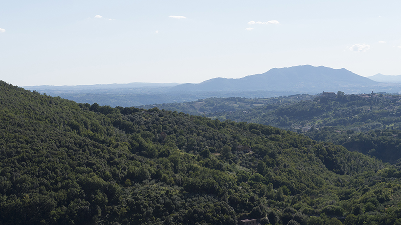
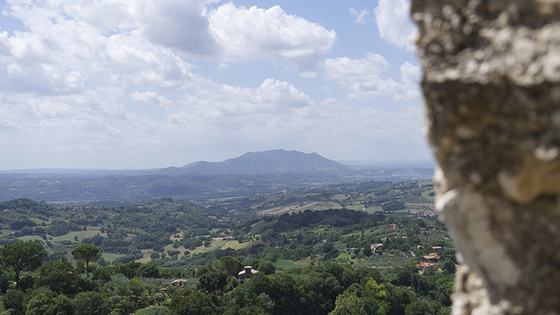
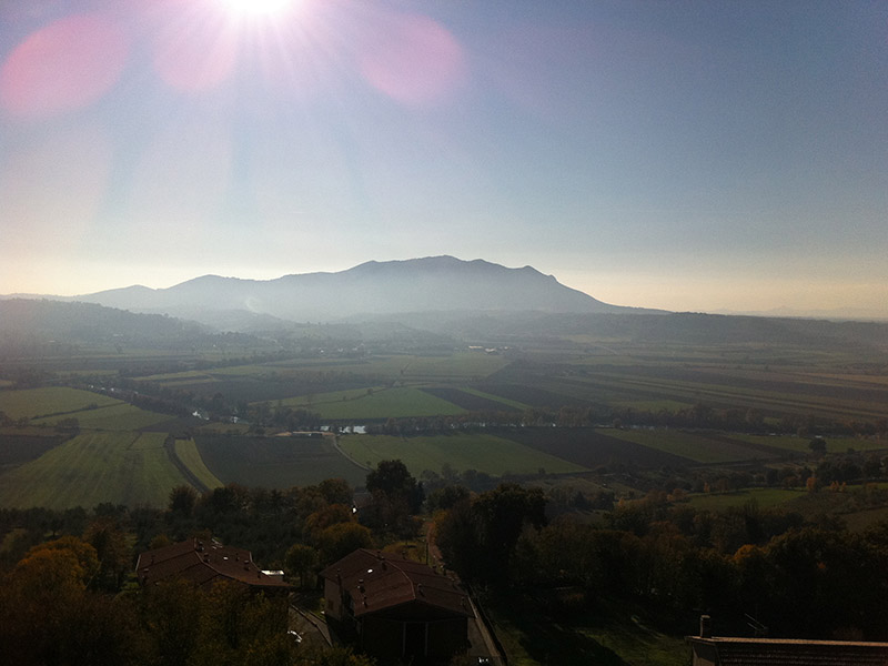
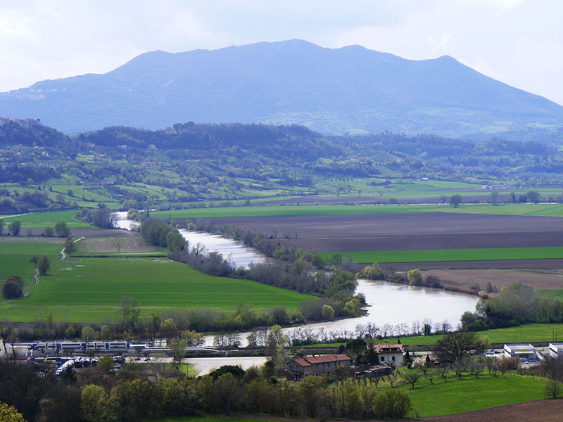
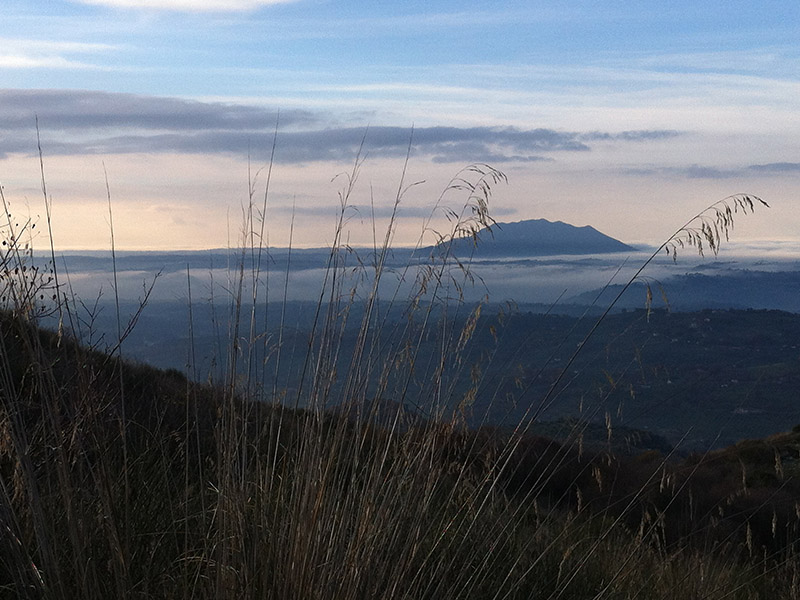
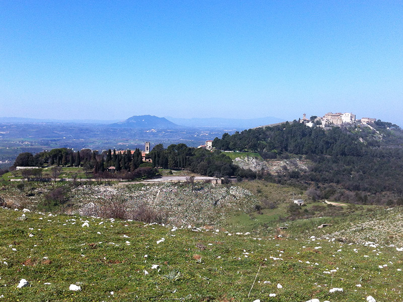
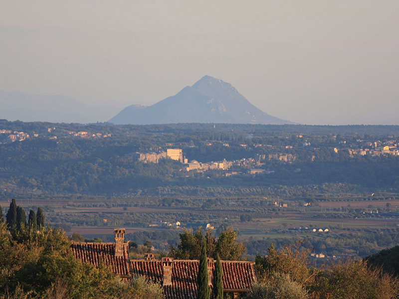
Soratte mountain
Soratte mountain seen from the stronghold of Poggio Catino
Soratte mountain and the Tiber seen from Stimigliano
Soratte mountain and the Tiber seen from Stimigliano
Il monte Soratte visto dal Monte Acuziano - San Martino (Fara in Sabina)
Soratte mountain seen from the Elci ridge; on the right Fara in Sabina
Soratte mountain seen from the North
1 - 7
<
>
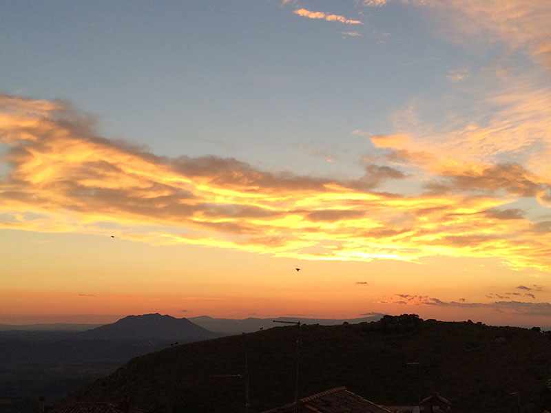
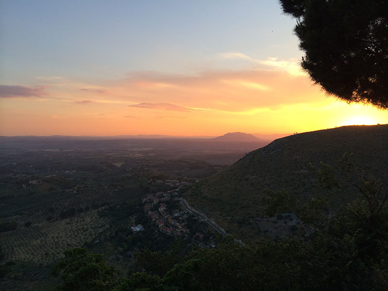
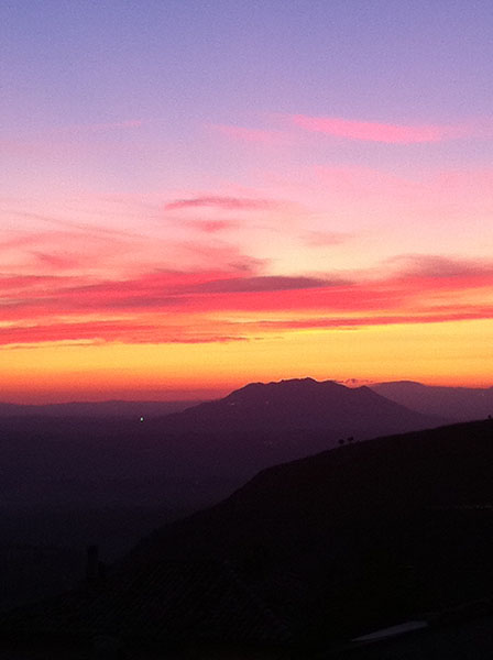
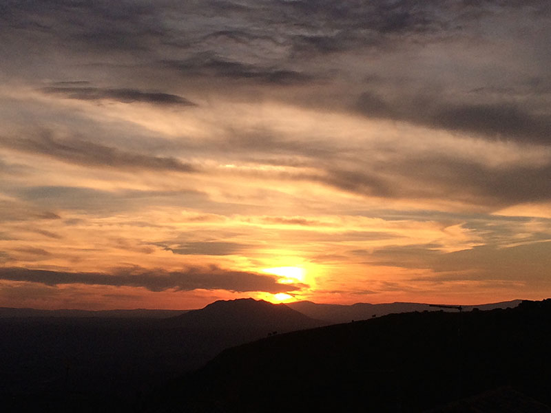
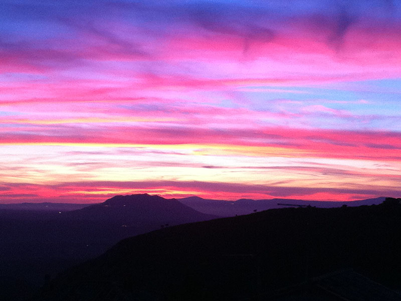
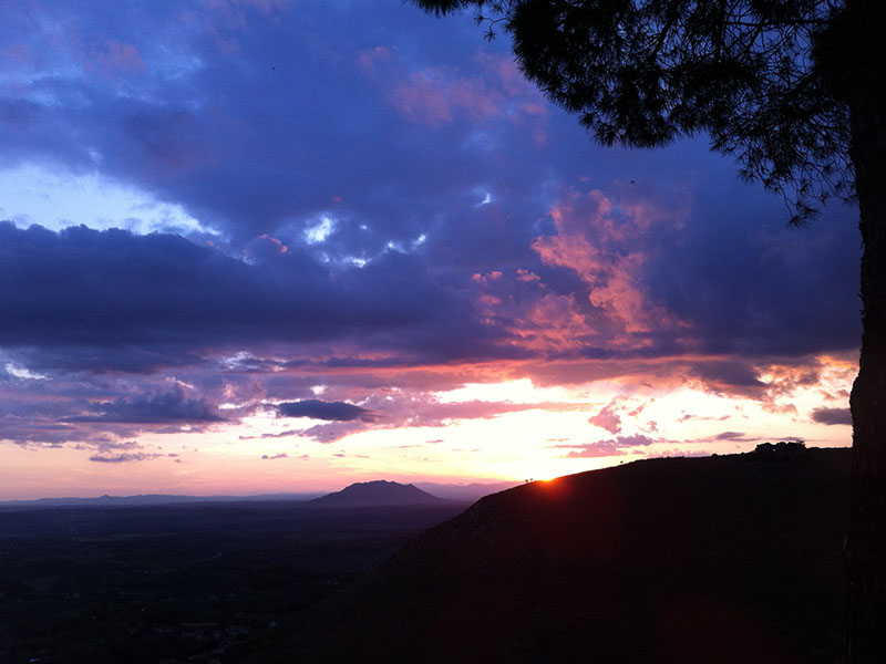
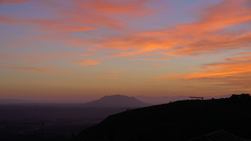
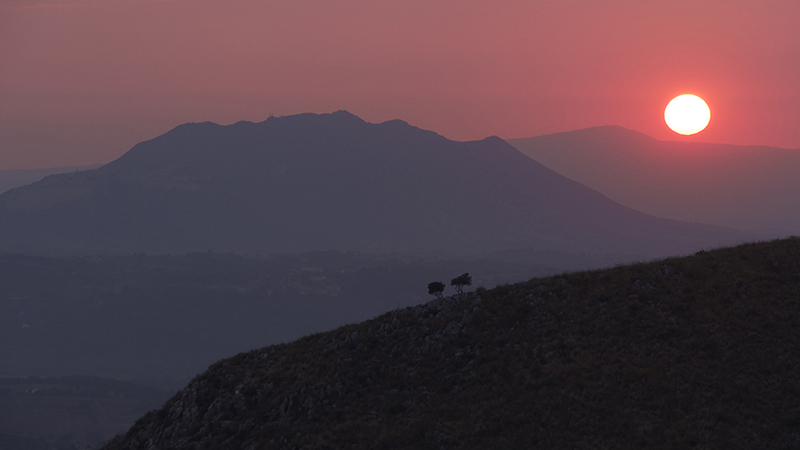
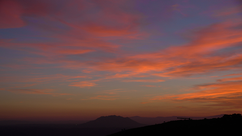
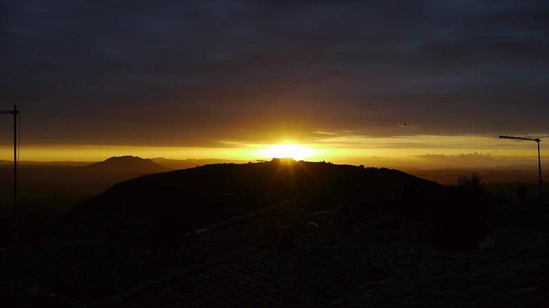
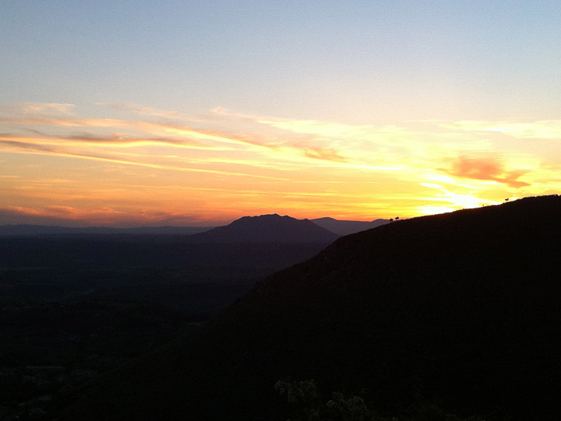
Sunset on mount Soratte and mount Acuziano, seen from Fara in Sabina
Sunset on Mount Soratte, seen from Fara in Sabina
Sunset on Mount Soratte, seen from Fara in Sabina
Sunset on Mount Soratte, seen from Fara in Sabina
Sunset on Mount Soratte, seen from Fara in Sabina
Sunset on mount Soratte and remains of San Martino, the unfinished Abbey on mount Acuziano
Sunset on Mount Soratte, seen from Fara in Sabina
Sunset on Mount Soratte, seen from Fara in Sabina
Sunset on Mount Soratte, seen from Fara in Sabina
Sunset on Mount Soratte and mount Acuziano, seen from Fara in Sabina
Sunset on Mount Soratte, seen from Fara in Sabina
1 - 11
<
>


